Right Beaches › Nelson Mandela Bay
Nelson Mandela Bay beaches
21 beaches, with the parking, the walk to the water and the tide for each one.
Good places to start
Lists for a particular day
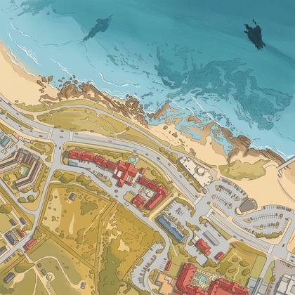
Park almost on the sand
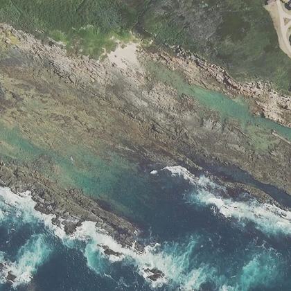
Calm water and bathrooms nearby
All beaches
- Jeffreys Bay Main BeachJeffreys Bay · on the shoreline · parking 150 m
- Sardinia Bay BeachGqeberha · water 250 m · parking 20 m
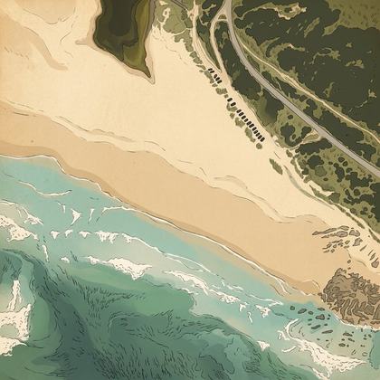 Maitland BeachGqeberha · water 200 m · parking 30 m
- Pollok Beachwater 100 m · parking 10 m
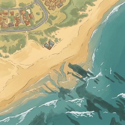 Aston Bay BeachJeffreys Bay · water 100 m
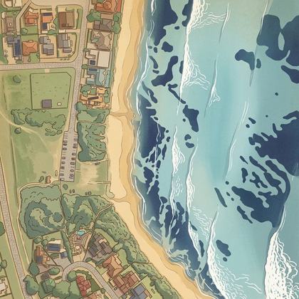 Lower PointJeffreys Bay · water 100 m · parking 20 m
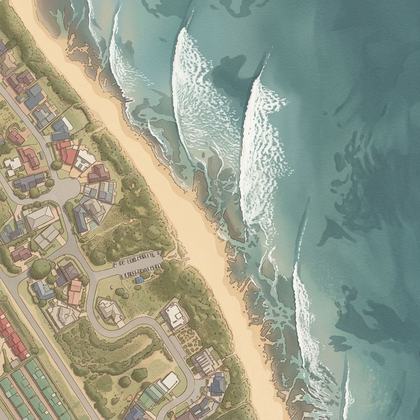 PointJeffreys Bay · water 80 m · parking 20 m
- Kings Beachon the shoreline · parking 80 m
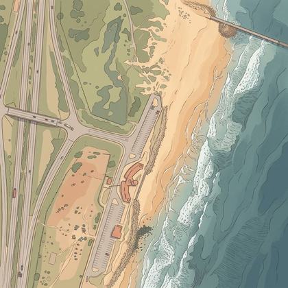 Brighton BeachGqeberha · on the shoreline · parking 50 m
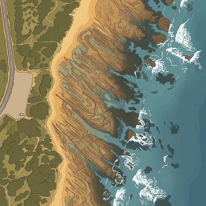 Secrets BeachGqeberha · water 70 m
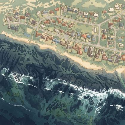 Kini BayGqeberha · water 300 m · parking 350 m
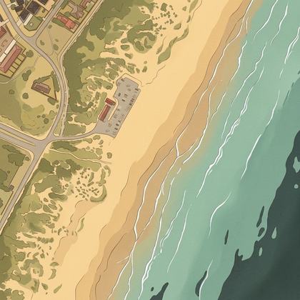 Bluewater BeachGqeberha · water 100 m · parking 10 m
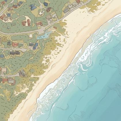 Paradise Beach Childrens Beach Play Ground And ParkJeffreys Bay · water 150 m · parking 10 m
- Humewood Beachon the shoreline · parking 100 m
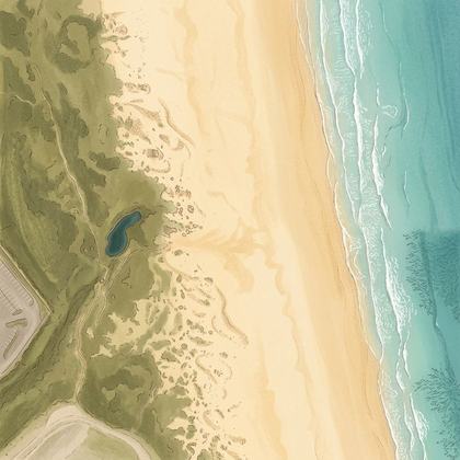 Kings beachGqeberha · water 60 m · parking 300 m
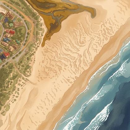 Fat Bike Beach Rides - Jeffreys BayJeffreys Bay · water 200 m · parking 20 m
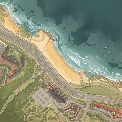 Beach Rd SummerstrandGqeberha · water 40 m · parking 90 m
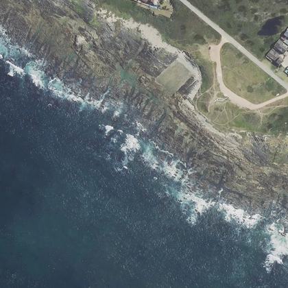 Seaview ocean viewpointGqeberha · water 250 m · parking 0 m
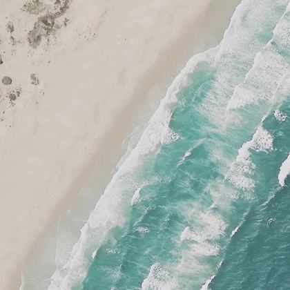 Wells beachGqeberha · water 30 m · parking 500 m
- Mangold's Poolwater 100 m
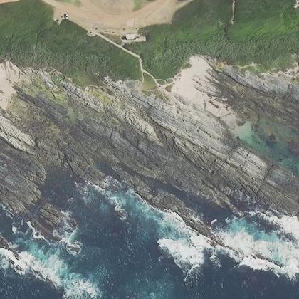 The Tankswater 80 m · parking 70 m
All 21 beaches, by how many people rate them
| Beach | Town | Walk to water | Parking | Fee | Restrooms |
|---|---|---|---|---|---|
| Jeffreys Bay Main Beach | Jeffreys Bay | on the sand | 150 m | – | yes |
| Sardinia Bay Beach | Gqeberha | 250 m | 20 m | – | yes |
| Maitland Beach | Gqeberha | 200 m | 30 m | – | – |
| Pollok Beach | 100 m | 10 m | – | yes | |
| Aston Bay Beach | Jeffreys Bay | 100 m | – | – | yes |
| Lower Point | Jeffreys Bay | 100 m | 20 m | – | yes |
| Point | Jeffreys Bay | 80 m | 20 m | – | yes |
| Kings Beach | on the sand | 80 m | – | – | |
| Brighton Beach | Gqeberha | on the sand | 50 m | – | – |
| Secrets Beach | Gqeberha | 70 m | – | – | – |
| Kini Bay | Gqeberha | 300 m | 350 m | – | – |
| Bluewater Beach | Gqeberha | 100 m | 10 m | – | yes |
| Paradise Beach Childrens Beach Play Ground And Park | Jeffreys Bay | 150 m | 10 m | – | yes |
| Humewood Beach | on the sand | 100 m | – | yes | |
| Kings beach | Gqeberha | 60 m | 300 m | – | – |
| Fat Bike Beach Rides - Jeffreys Bay | Jeffreys Bay | 200 m | 20 m | – | yes |
| Beach Rd Summerstrand | Gqeberha | 40 m | 90 m | – | yes |
| Seaview ocean viewpoint | Gqeberha | 250 m | 0 m | – | – |
| Wells beach | Gqeberha | 30 m | 500 m | – | – |
| Mangold's Pool | 100 m | – | – | – | |
| The Tanks | 80 m | 70 m | – | yes |
Walk and parking distances are measured on OpenStreetMap. Fee and restrooms come from counted visitor reviews and mapped facilities. A dash means we have no evidence either way, not that the answer is no.
Common questions
Which Nelson Mandela Bay beach has the shortest walk from the car?
Do you have to pay to park at Nelson Mandela Bay beaches?
Which beaches have restrooms?
How current is this?
Where this comes from
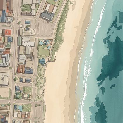
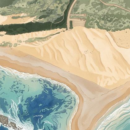
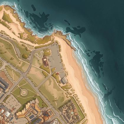
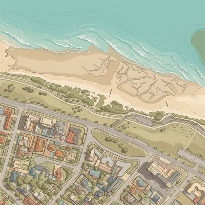
Place details from the public Google business listing. Beach shape, parking and facility positions from OpenStreetMap (ODbL). Aerial imagery is 25 cm national coverage from the Chief Directorate: National Geo-spatial Information, used with permission. Tide is modelled, and weather, waves and water temperature come from Open-Meteo, each labelled as measured or modelled. Map drawings are redrawn from that aerial imagery by an image model. Markers, distances and every fact on this page come from OpenStreetMap and counted reviews, never from a drawing. Review text is never republished.
