Right Beaches › KZN South Coast
Umtentweni Public Beach
4.3★ · 415 Google ratings, KwaZulu-Natal
✓ Short walk✓ Restrooms
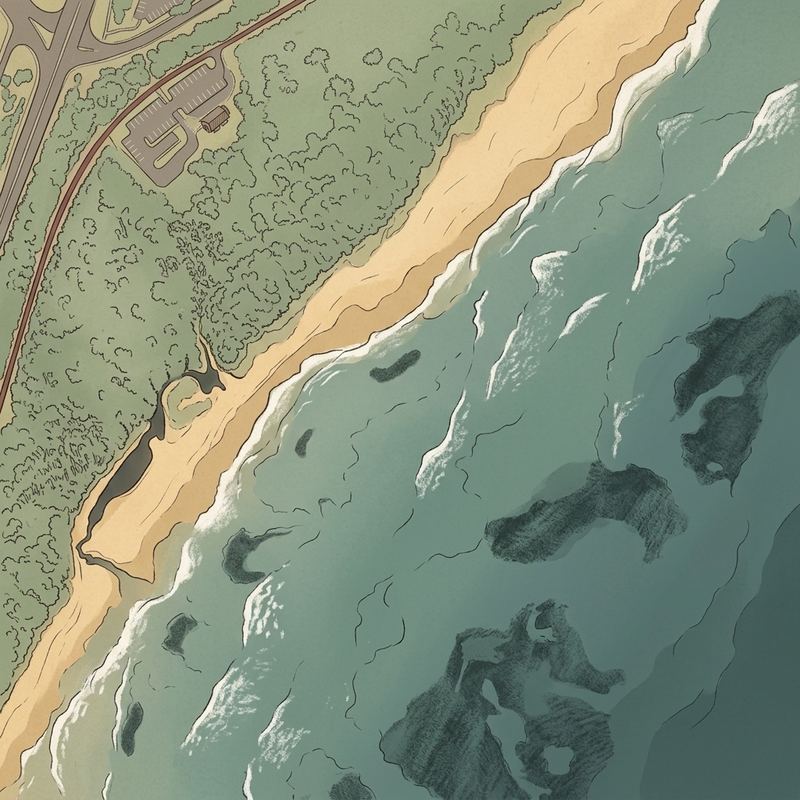
Map of Umtentweni Public Beach
Guide
Good to know
✓ Blue Flag pilot site 2025/26
Awarded by WESSA for the 2025/26 season. The status is re-awarded every year.
Explore rock pools at low tide
The rocky sections reveal sea creatures like fish, crabs, sea urchins, and warm shallow pools when tide is low.
Ideal for young children
Natural rock formations create calm tidal pools and protected swimming areas perfect for kids learning to swim.
A lagoon or river mouth sits alongside
Visitors mention calmer water where the river meets the sea.Mentioned by 3 visitors · 2017–2026
Check if facilities are open first
The kiosk, bathrooms, and showers operate inconsistently, sometimes locked or closed without notice.
Visit on weekdays or off-season
The beach gets busy during holidays and weekends, with parking becoming tight despite efforts to accommodate visitors.
Bring your own food if possible
The small on-site kiosk has limited hours and may be closed when you arrive, though a supermarket.
Conditions
How it is right now
Air
21.3°C · partly cloudy
Wind
27 km/h from the SW
Shelter
Cross-shore · wind running along the beach
UV index
3 peak today
Last updated Sep 4, 12:04 AM.
Practical
Plan your visit
🌊 Water 50 m away, under a minute walk
Nearby
Other beaches close by
3.2 km away · shorter walk
3.6 km away
4.9 km away
6.3 km away
7.0 km away
7.5 km away
Find another
Not the right one?
Find another beach that works for today.
Where are you starting from?
More options
What matters today?
Contribute
Been here recently?
Help other visitors with fresh information about Umtentweni Public Beach. Everything below is optional except the last box.
Questions
Common questions
How far is the walk to the water at Umtentweni Public Beach?
50 m in a straight line from the listing to the mapped shoreline, under a minute. Soft sand and dune make the real walk longer than the straight line.
Does Umtentweni Public Beach have restrooms?
No restrooms are mapped within 600 m on OpenStreetMap. That means nobody has mapped any, which is not the same as there being none.
Measured from OpenStreetMap, public aerial imagery and live conditions data, and counted from visitor reviews. Every source, in full.
