Right Beaches › Rías Baixas › Municipality of Vigo
Praia de Nosa Señora
4.8★ · 224 Google ratings · Municipality of Vigo, Galicia
✓ Short walk✓ Picnic tables✓ Kids reported
At a glance
Parking
Not mapped
Walk
10 m · under a minute
Children
Reported good for young kids
Length
1.2 km of shoreline
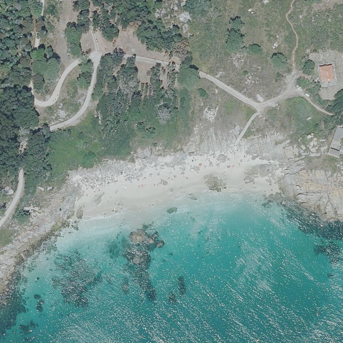
Map of Praia de Nosa Señora
Guide
Good to know
People snorkel here
Reviewers describe snorkelling in the water at this beach.Mentioned by 14 visitors · 2016–2026
Excellent for snorkeling
Clear shallow water around rocks and a pier reveal fish schools and marine life year-round.
Expect very cold water
Atlantic temperatures require gradual adjustment; visitors report feeling refreshed after initial shock.
Reported good with little kids
Visitors often mention shallow or calm water. This is what reviewers report, not a safety assessment.Mentioned by 2 visitors · 2016–2026
Arrive by 9:45am ferry
The beach fills rapidly by midday and reaches capacity early in summer.
Time your visit to low tide
At high tide, the narrow beach nearly disappears, leaving mostly rocks with minimal sand.
Guard food from seagulls
Brazen seagulls frequent the rocks and will aggressively pursue unattended snacks or hands.
Conditions
How it is right now
Air
21.1°C · clear
Wind
2 km/h from the ENE
Shelter
Cross-shore · wind running along the beach
UV index
7 peak today
Last updated Sep 3, 11:18 PM.
Practical
Plan your visit
Nearby
Other beaches close by
650 m away
850 m away
1.3 km away
1.3 km away
1.6 km away
1.7 km away
Find another
Not the right one?
Find another beach that works for today.
Where are you starting from?
More options
What matters today?
Contribute
Been here recently?
Help other visitors with fresh information about Praia de Nosa Señora. Everything below is optional except the last box.
Questions
Common questions
How far is the walk to the water at Praia de Nosa Señora?
The listed location sits on the shoreline itself, so there is no walk to speak of once you are out of the car.
Does Praia de Nosa Señora have restrooms?
No restrooms are mapped within 600 m on OpenStreetMap. That means nobody has mapped any, which is not the same as there being none.
Measured from OpenStreetMap, public aerial imagery and live conditions data, and counted from visitor reviews. Every source, in full.
