Right Beaches › Costa da Morte & Rías Altas › Ferrol
Praia de Doniños
4.7★ · 571 Google ratings · Ferrol, Galicia
✓ Parking✓ Short walk✓ Restrooms✓ Showers
At a glance
Parking
Parking lot · 400 m away
Walk
70 m · under a minute
Restrooms
Yes · 600 m away
Length
1.8 km of shoreline
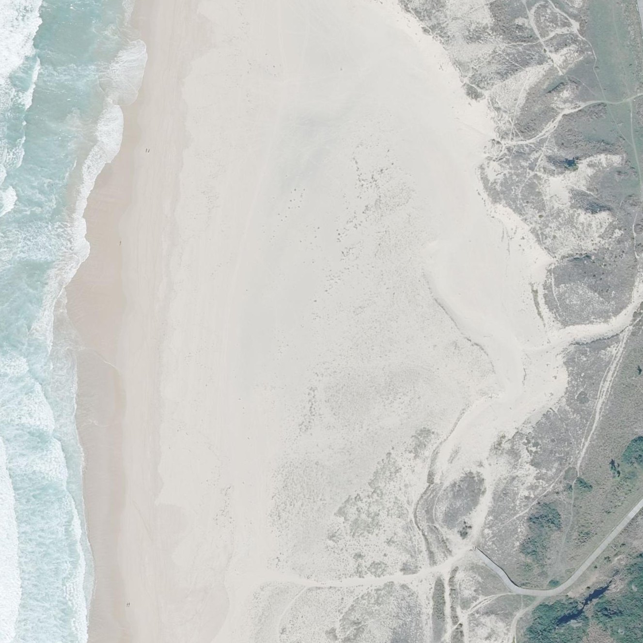
Map of Praia de Doniños
Guide
Good to know
Free to anyone
Reviewers report free parking open to anyone.Reported by visitors
Plan for cold water year-round
Visitors consistently report freezing Atlantic temperatures even in August, making long immersion uncomfortable without a wetsuit.
Visit at low tide for exploring
At low tide the beach expands dramatically and natural rock pools form, revealing the full scale of the sand flats.
Walk the dunes and forest paths
A wooden boardwalk connects multiple beach access points.
Expect strong Atlantic waves
Multiple visitors describe powerful waves and red flag warnings, even in summer, making this primarily a surfing beach.
Arrive early in summer
The large parking area fills by late morning on hot weekends.
Conditions
How it is right now
Air
19.7°C · overcast
Wind
4 km/h from the SW
Shelter
Cross-shore · wind running along the beach
UV index
6 peak today
Last updated Sep 3, 11:27 PM.
Practical
Plan your visit
📍 Ferrol, A Coruña
🅿 Parking 400 m from the listing
🌊 Water 70 m away, under a minute walk
🚽 Restrooms 600 m away
Nearby
Other beaches close by
500 m away
1.1 km away
1.7 km away
3.0 km away · shorter walk
4.4 km away
4.6 km away · shorter walk
Find another
Not the right one?
Find another beach that works for today.
Where are you starting from?
More options
What matters today?
Contribute
Been here recently?
Help other visitors with fresh information about Praia de Doniños. Everything below is optional except the last box.
Questions
Common questions
Where do you park at Praia de Doniños?
The nearest mapped parking area is 400 m from the listed location. Positions come from OpenStreetMap, not from review text.
How far is the walk to the water at Praia de Doniños?
60 m in a straight line from the listing to the mapped shoreline, under a minute. Soft sand and dune make the real walk longer than the straight line.
Does Praia de Doniños have restrooms?
Restrooms are mapped 600 m from the listing.
Measured from OpenStreetMap, public aerial imagery and live conditions data, and counted from visitor reviews. Every source, in full.
