Playón de Bayas O el Sablón
4.7★ · 216 Google ratings, Asturias
✓ Short walk
At a glance
Parking
Not mapped
Walk
100 m · 1 min
Length
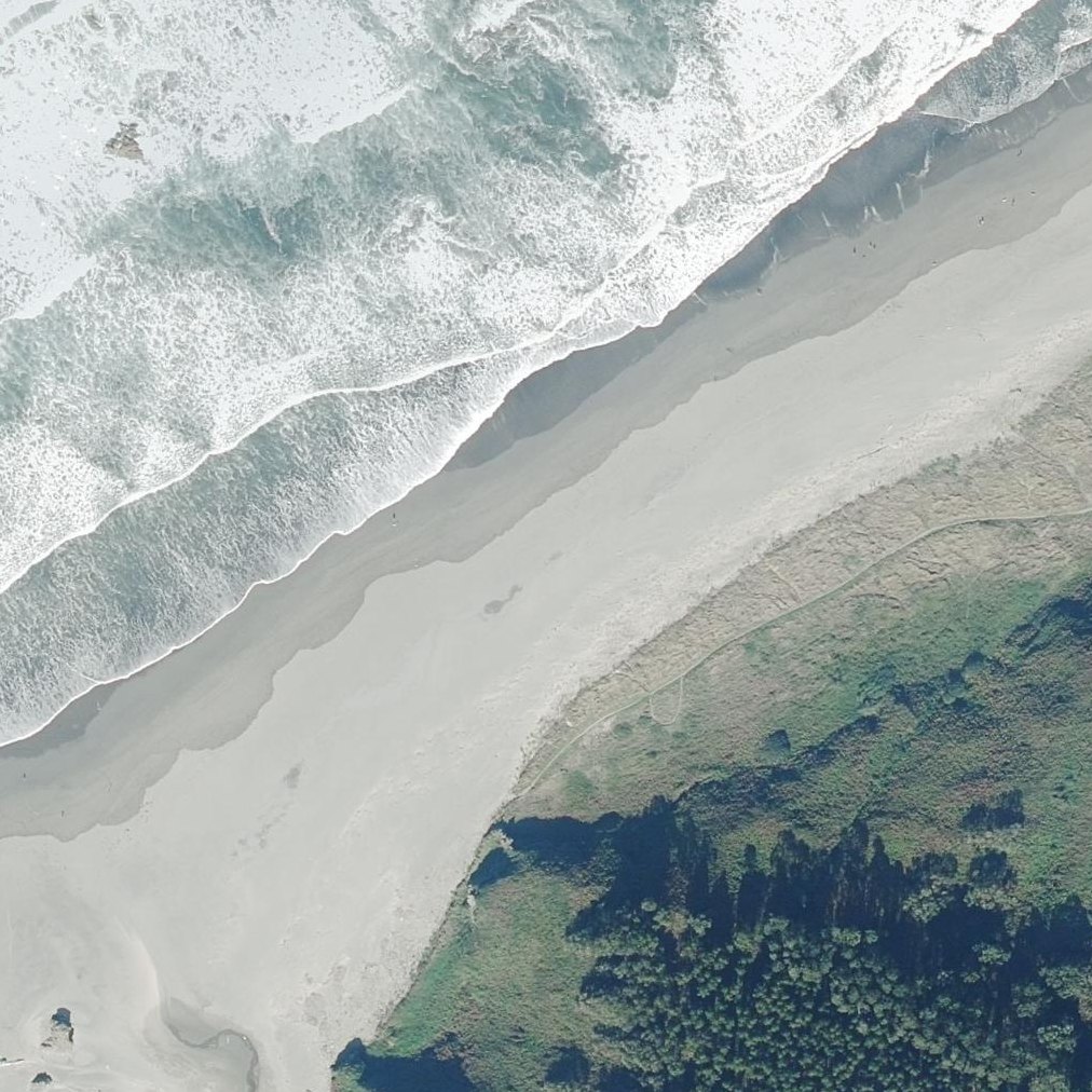
2.6 km of shoreline
Sand
200 m from the water to the back
Map of Playón de Bayas O el Sablón
Guide
Good to know
Dogs
Los perros deben de permanecer atados. Se permite el acceso de perros durante todo el año en la zona habilitada y debidamente señalizada para ellos, fuera de esta zona está prohibido. Visitor information · turismoasturias.es, 2026/09
Ideal for dogs and long walks
The beach stretches 3 to 4 kilometres with a dedicated dog area on the left side where dogs.
Arrive before 11am on weekends
The parking lot holds about 50 cars and fills before late morning, with police blocking access once full.
Black sand gets very hot
On sunny days the dark sand burns hot enough to hurt dogs' paws.
Swim only at the sides
The centre has strong currents and waves; swimmers should stay on the sides or avoid the water entirely.
Conditions
How it is right now
Air
21.1°C · clear
Wind
12 km/h from the ESE
Shelter
Cross-shore · wind running along the beach
UV index
6 peak today
Last updated Sep 3, 11:10 PM.
Practical
Plan your visit
🌊 Water 100 m away, about 1 min walk
Nearby
Other beaches close by
500 m away
850 m away · shorter walk
1.7 km away
1.9 km away · shorter walk
2.5 km away · shorter walk
2.8 km away · shorter walk
Find another
Not the right one?
Find another beach that works for today.
Where are you starting from?
More options
What matters today?
Contribute
Been here recently?
Help other visitors with fresh information about Playón de Bayas O el Sablón. Everything below is optional except the last box.
Questions
Common questions
How far is the walk to the water at Playón de Bayas O el Sablón?
100 m in a straight line from the listing to the mapped shoreline, about 1 min. Soft sand and dune make the real walk longer than the straight line.
Does Playón de Bayas O el Sablón have restrooms?
No restrooms are mapped within 600 m on OpenStreetMap. That means nobody has mapped any, which is not the same as there being none.
Measured from OpenStreetMap, public aerial imagery and live conditions data, and counted from visitor reviews. Every source, in full.
