Right Beaches › Costa de la Luz
Playa de Levante
4.5★ · 138 Google ratings, Andalusia
At a glance
Parking
Not mapped
Walk
200 m · 3 min
Length
4.5 km of shoreline
Sand
250 m from the water to the back
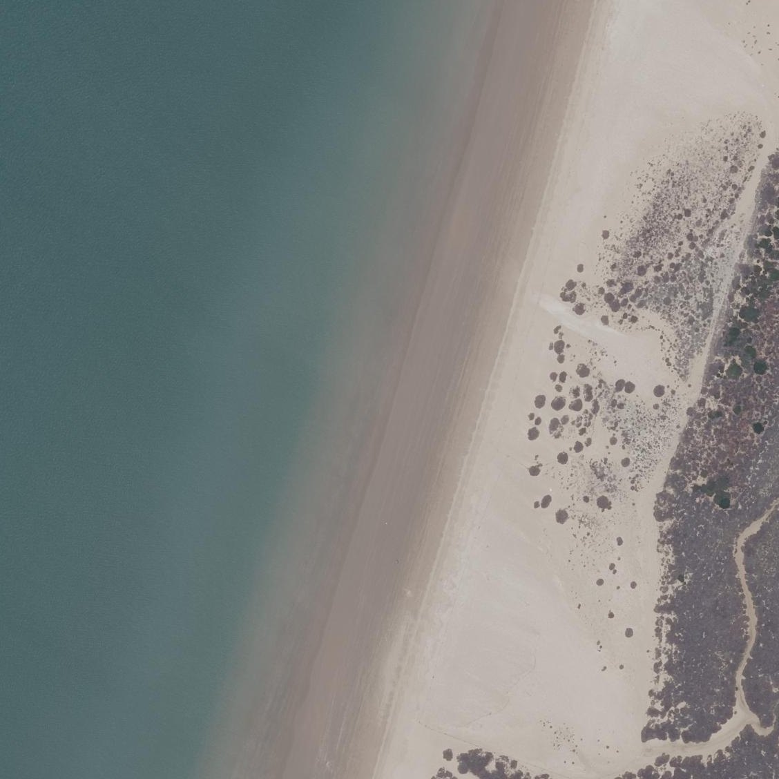
Map of Playa de Levante
Guide
Good to know
Plan a long walk or bike ride
The beach stretches 8km with flat sand and a wide promenade parallel to the shore, ideal for extended strolls.
Use the electric train in summer
A one-euro train from Casa de los Toruños runs until 19:45 and avoids a 2km walk or impossible car directions.
Visit in winter or early morning
Summer afternoons draw crowds despite the beach's size, while winter offers solitude and comfortable walking conditions.
Bring all food and water
No vendors, umbrellas, or facilities exist on the beach itself, so pack everything you need.
Watch for rocks and shells underfoot
Reviewers report rocky areas in the water and clam shells washed ashore that can hurt bare feet.
Conditions
How it is right now
Air
29.0°C · partly cloudy
Wind
14 km/h from the SE
Shelter
Offshore · wind blowing off the land
UV index
7 peak today
Last updated Sep 3, 10:36 PM.
Practical
Plan your visit
Nearby
Other beaches close by
1.7 km away · shorter walk
2.0 km away · shorter walk
3.7 km away · shorter walk
4.0 km away · shorter walk
4.2 km away · shorter walk
4.9 km away · shorter walk
Find another
Not the right one?
Find another beach that works for today.
Where are you starting from?
More options
What matters today?
Contribute
Been here recently?
Help other visitors with fresh information about Playa de Levante. Everything below is optional except the last box.
Questions
Common questions
How far is the walk to the water at Playa de Levante?
200 m in a straight line from the listing to the mapped shoreline, about 3 min. Soft sand and dune make the real walk longer than the straight line.
Does Playa de Levante have restrooms?
No restrooms are mapped within 600 m on OpenStreetMap. That means nobody has mapped any, which is not the same as there being none.
Measured from OpenStreetMap, public aerial imagery and live conditions data, and counted from visitor reviews. Every source, in full.
