Right Beaches › Asturias › Llanes
Playa de Cuevas del Mar
4.6★ · 1,730 Google ratings · Llanes, Asturias
✓ Short walk✓ Showers
At a glance
Parking
Reported adequate
Walk
30 m · under a minute
Length
300 m of shoreline
Sand
150 m from the water to the back
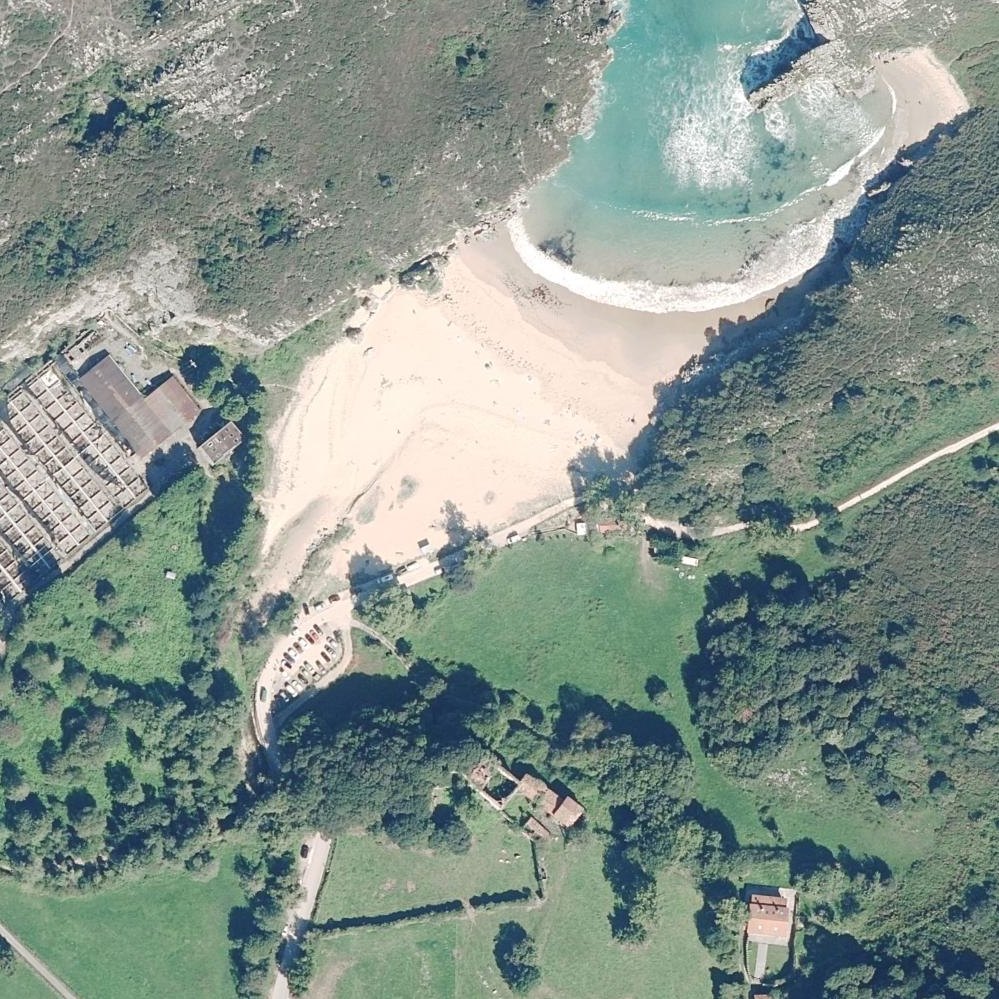
Map of Playa de Cuevas del Mar
1
2
1Parking90 m from the listing2Showers90 m from the listing
Guide
Good to know
Best for photography and walking
The dramatic rock formations, caves and cliff surroundings attract visitors seeking scenic views and exploration rather than sunbathing or swimming.
Visit at low tide
The caves and rock formations that define the beach are only fully visible and accessible when the tide recedes.
Arrive early to secure parking
The small free parking area fills quickly, especially in summer, forcing visitors to use paid lots or park elsewhere.
Use designated paid parking only
Police have issued steep fines (200 euros) to cars parked in unmarked spots that resemble parking areas.
Wear water shoes on the seabed
The beach floor is rocky rather than sandy, making barefoot wading uncomfortable and potentially hazardous.
Conditions
How it is right now
Air
20.3°C · clear
Wind
8 km/h from the SE
Shelter
Offshore · wind blowing off the land
UV index
6 peak today
Last updated Sep 3, 11:09 PM.
Practical
Plan your visit
Nearby
Other beaches close by
200 m away
650 m away
800 m away
3.1 km away
3.2 km away
3.4 km away
Find another
Not the right one?
Find another beach that works for today.
Where are you starting from?
More options
What matters today?
Contribute
Been here recently?
Help other visitors with fresh information about Playa de Cuevas del Mar. Everything below is optional except the last box.
Questions
Common questions
How far is the walk to the water at Playa de Cuevas del Mar?
20 m in a straight line from the listing to the mapped shoreline, under a minute. Soft sand and dune make the real walk longer than the straight line.
Does Playa de Cuevas del Mar have restrooms?
No restrooms are mapped within 600 m on OpenStreetMap. That means nobody has mapped any, which is not the same as there being none.
Measured from OpenStreetMap, public aerial imagery and live conditions data, and counted from visitor reviews. Every source, in full.
