Playa de Ballota
4.7★ · 1,561 Google ratings, Asturias
✓ Short walk
At a glance
Parking
Not mapped
Walk
60 m · under a minute
Length
350 m of shoreline
Sand
150 m from the water to the back
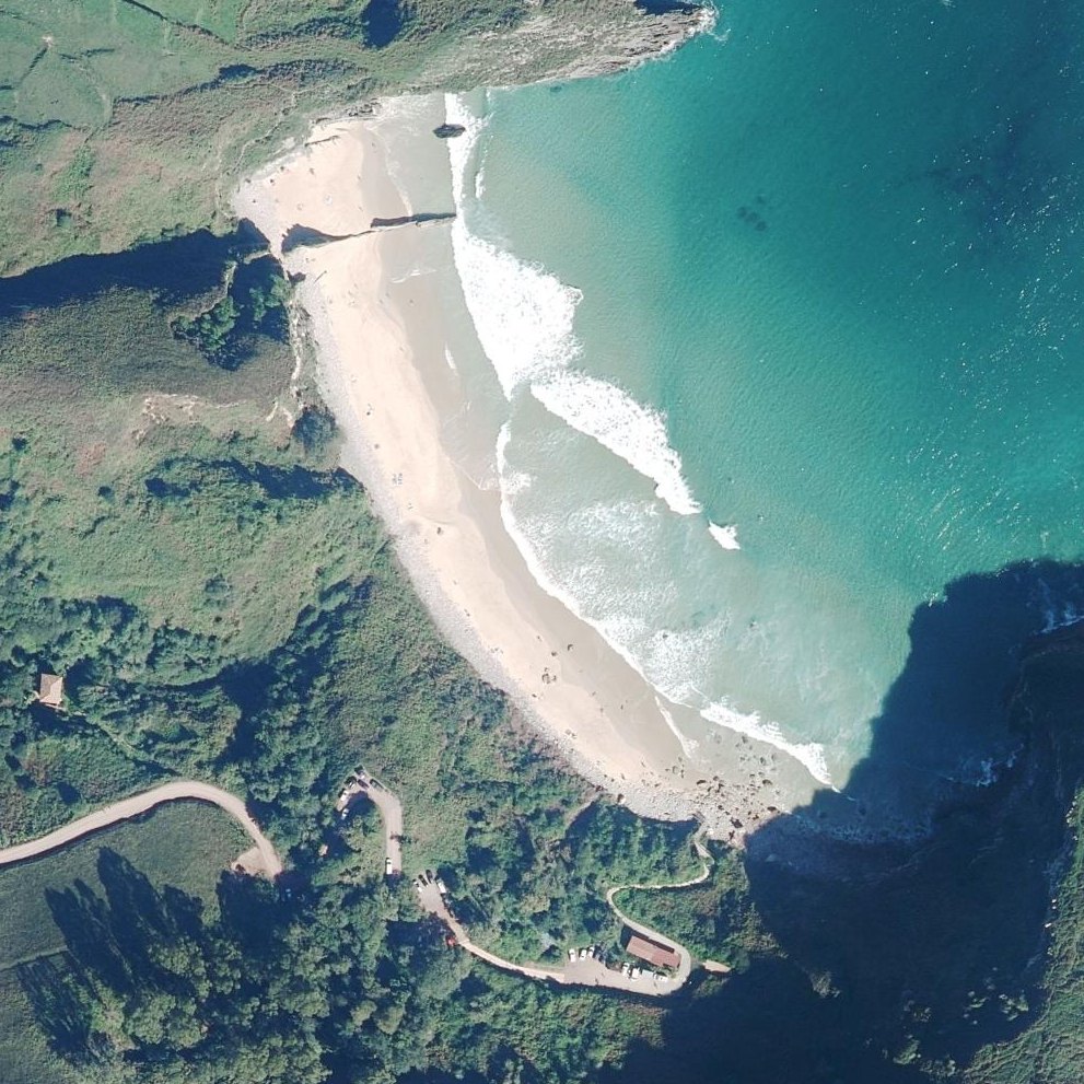
Map of Playa de Ballota
Guide
Good to know
Shallow water for young children
The beach entrance has calm, shallow water that visitors describe as resembling a swimming pool with minimal waves or currents.
Visit before 3pm in winter
The sun disappears behind the mountain by mid-afternoon, making the beach cold and shaded for the rest of the day.
Arrive by mid-morning in summer
The small parking lot fills by late morning on busy days.
Check tide times before visiting
High tide can cover most or all of the beach.
Drive carefully on the access road
The dirt track down is steep, narrow, and uneven with poor drainage.
Conditions
How it is right now
Air
19.5°C · clear
Wind
3 km/h from the WSW
Shelter
Offshore · wind blowing off the land
UV index
6 peak today
Last updated Sep 3, 11:09 PM.
Practical
Plan your visit
🌊 Water 60 m away, under a minute walk
Nearby
Other beaches close by
450 m away
2.2 km away
2.2 km away
2.4 km away
2.8 km away
3.0 km away
Find another
Not the right one?
Find another beach that works for today.
Where are you starting from?
More options
What matters today?
Contribute
Been here recently?
Help other visitors with fresh information about Playa de Ballota. Everything below is optional except the last box.
Questions
Common questions
How far is the walk to the water at Playa de Ballota?
The listed location sits on the shoreline itself, so there is no walk to speak of once you are out of the car.
Does Playa de Ballota have restrooms?
No restrooms are mapped within 600 m on OpenStreetMap. That means nobody has mapped any, which is not the same as there being none.
Measured from OpenStreetMap, public aerial imagery and live conditions data, and counted from visitor reviews. Every source, in full.
