Right Beaches › Cantabria › Arnuero
Desembocadura De La Ria De Ajo
4.7★ · 30 Google ratings · Arnuero, Cantabria
✓ Parking✓ Short walk✓ Restrooms
At a glance
Parking
Parking lot · 350 m away
Walk
40 m · under a minute
Restrooms
Yes · 550 m away
Length
950 m of shoreline
Crowds
Quietest Wed 8am
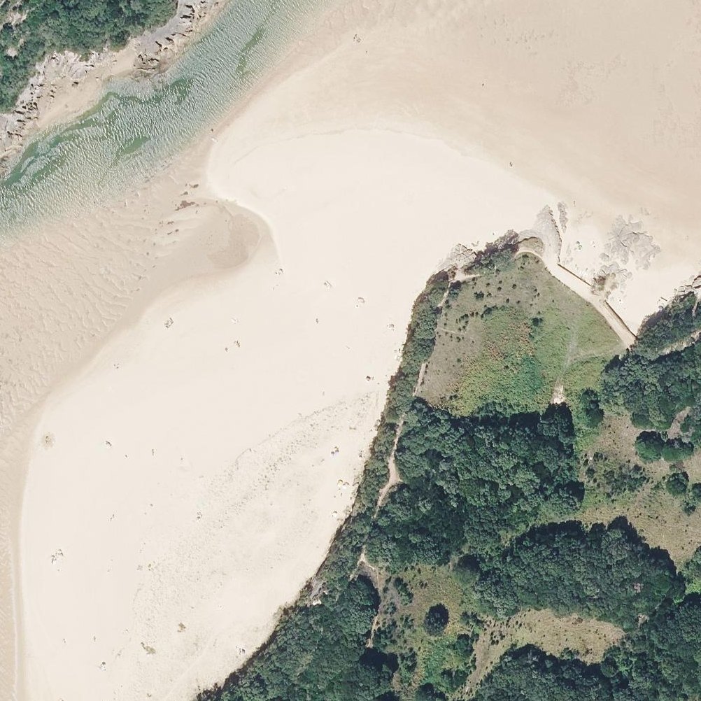
Map of Desembocadura De La Ria De Ajo
Guide
Good to know
Bring your dog
Dogs are welcome in the unsupervised areas, making this an uncommon dog-friendly beach option.
Visit in spring or autumn
Summer brings crowds and numerous dogs that disrupt the natural quiet and birdsong that define the beach.
Expect cool water
The estuary mouth has notably cooler water than typical beach conditions in the region.
Wear shoes for sand
The fine sand can be difficult to walk on and requires footwear for comfort.
Conditions
How it is right now
Air
20.1°C · clear
Wind
10 km/h from the ESE
Shelter
Offshore · wind blowing off the land
UV index
6 peak today
Last updated Sep 3, 11:05 PM.
Crowds
When it gets busy
| 8a | 9a | 10a | 11a | 12p | 1p | 2p | 3p | 4p | 5p | 6p | 7p | |
|---|---|---|---|---|---|---|---|---|---|---|---|---|
| Mo | ||||||||||||
| Tu | ||||||||||||
| We | ||||||||||||
| Th | ||||||||||||
| Fr | ||||||||||||
| Sa | ||||||||||||
| Su |
QuietBusy
Practical
Plan your visit
📍 39195 Arnuero, Cantabria
🅿 Parking 350 m from the listing
🌊 Water 40 m away, under a minute walk
🚽 Restrooms 550 m away
Nearby
Other beaches close by
60 m away
600 m away
850 m away
2.5 km away
2.9 km away
3.5 km away
Find another
Not the right one?
Find another beach that works for today.
Where are you starting from?
More options
What matters today?
Contribute
Been here recently?
Help other visitors with fresh information about Desembocadura De La Ria De Ajo. Everything below is optional except the last box.
Questions
Common questions
Where do you park at Desembocadura De La Ria De Ajo?
The nearest mapped parking area is 350 m from the listed location. Positions come from OpenStreetMap, not from review text.
How far is the walk to the water at Desembocadura De La Ria De Ajo?
30 m in a straight line from the listing to the mapped shoreline, under a minute. Soft sand and dune make the real walk longer than the straight line.
Does Desembocadura De La Ria De Ajo have restrooms?
Restrooms are mapped 550 m from the listing.
When is Desembocadura De La Ria De Ajo least busy?
Google visit patterns put the quietest hour at Wed 8am and the busiest at Sat 4pm.
Measured from OpenStreetMap, public aerial imagery and live conditions data, and counted from visitor reviews. Every source, in full.
