Right Beaches › Mississippi
Mississippi beaches
11 beaches, with the parking, the walk to the water and the tide for each one.
Good places to start
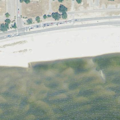
Park almost on the sand
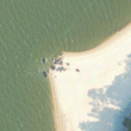
Calm water and bathrooms nearby
All beaches
- Ocean Springs BeachOcean Springs · water 90 ft · parking 600 yd
- Piney Grove BeachNew Site · water 120 ft
- Perk BeachWiggins · water 260 ft · parking 575 yd
- Lower Lake Beachwater 700 yd · parking 325 yd
- Gulfport Scenic BywayBiloxi · water 340 ft
- The RocksCoffeeville · water 240 ft
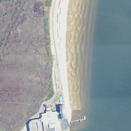 Silver Slipper BeachBay St Louis · water 300 ft
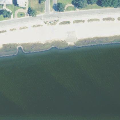 Buffett BeachPascagoula · water 170 ft
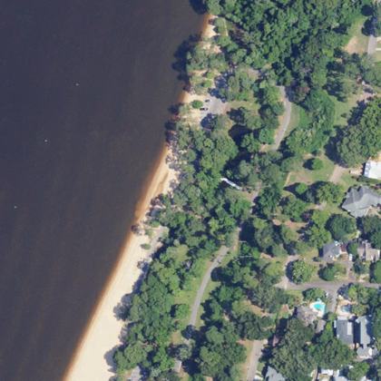 Fairhope Duck Pond North Beach RdFairhope · water 270 ft
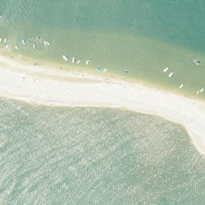 West end beachDauphin Island · water 50 ft
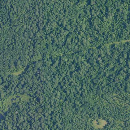 Barton's Beach on the CahabaSprott · water 1.1 miles
All 11 beaches, by how many people rate them
| Beach | Town | Walk to water | Parking | Fee | Restrooms |
|---|---|---|---|---|---|
| Ocean Springs Beach | Ocean Springs | 90 ft | 600 yd | – | yes |
| Piney Grove Beach | New Site | 120 ft | – | paid | yes |
| Perk Beach | Wiggins | 260 ft | 575 yd | paid | yes |
| Lower Lake Beach | 700 yd | 325 yd | – | yes | |
| Gulfport Scenic Byway | Biloxi | 340 ft | – | – | – |
| The Rocks | Coffeeville | 240 ft | – | – | – |
| Silver Slipper Beach | Bay St Louis | 300 ft | – | – | – |
| Buffett Beach | Pascagoula | 170 ft | – | – | – |
| Fairhope Duck Pond North Beach Rd | Fairhope | 270 ft | – | – | – |
| West end beach | Dauphin Island | 50 ft | – | – | – |
| Barton's Beach on the Cahaba | Sprott | 1.1 miles | – | – | – |
Walk and parking distances are measured on OpenStreetMap. Fee and restrooms come from counted visitor reviews and mapped facilities. A dash means we have no evidence either way, not that the answer is no.
Common questions
Which Mississippi beach has the shortest walk from the car?
Do you have to pay to park at Mississippi beaches?
Which beaches have restrooms?
How current is this?
Where this comes from
Place details from the public Google business listing. Beach shape, parking and facility positions from OpenStreetMap (ODbL). Aerial imagery is public-domain USGS NAIP. Tide comes from NOAA, and weather and water from Open-Meteo. Map drawings are redrawn from that aerial imagery by an image model. Markers, distances and every fact on this page come from OpenStreetMap and counted reviews, never from a drawing. Review text is never republished.
