Right Beaches › Maryland
Maryland beaches
30 beaches, with the parking, the walk to the water and the tide for each one.
Good places to start
Lists for a particular day
Park almost on the sand
Beaches where parking is free
Calm water and bathrooms nearby
All beaches
- Ocean City BeachOcean City · water 300 yd · parking 125 yd
- Betterton BeachBetterton · water 170 ft · parking 230 ft
- North East BeachNorth East · water 150 yd · parking 290 ft
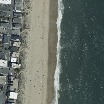 Maryland BeachOcean City · water 175 yd · parking 450 yd
- Greenbriar Beach and Swim Areaon the shoreline · parking 200 yd
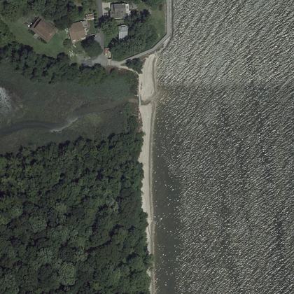 Brownies Beachwater 30 ft · parking 275 yd
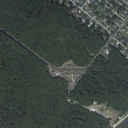 Triton BeachMayo · water 40 ft
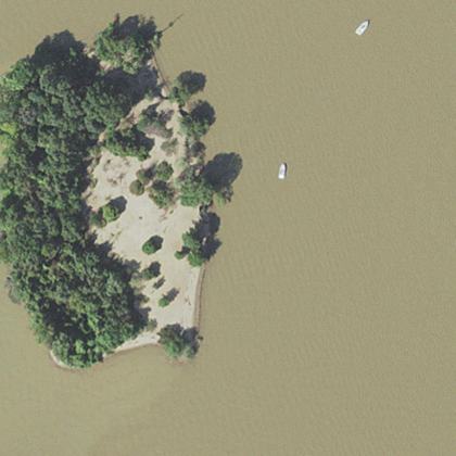 Sand IslandHavre De Grace · water 140 ft
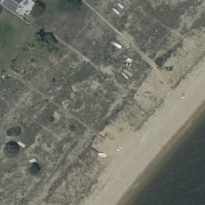 Cove Point Beachwater 150 ft
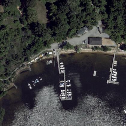 Olde Severna Park Community BeachSeverna Park · water 80 ft · parking 225 yd
- Coldstream BeachLinganore-Bartonsville · on the shoreline · parking 160 ft
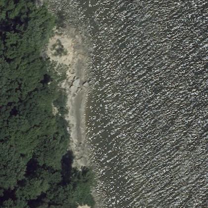 Bayfront Beachon the shoreline
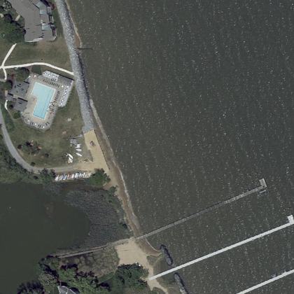 Carrs Beachwater 240 ft · parking 250 yd
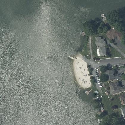 Nightingale BeachLinganore-Bartonsville · water 60 ft · parking 375 yd
- Belcamp Beachwater 160 ft · parking 310 ft
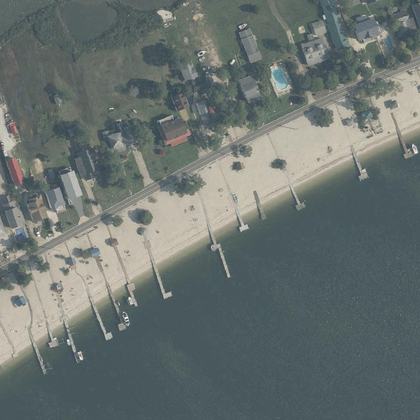 Piney Point BeachPiney Point · water 190 ft
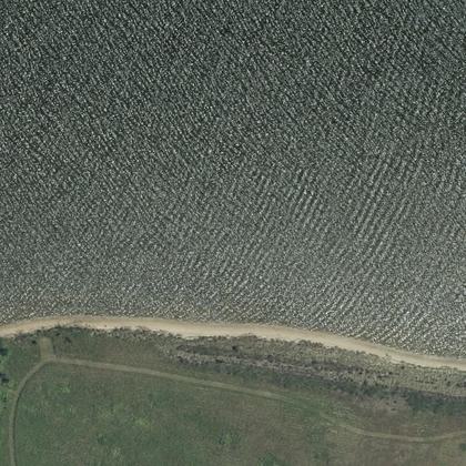 Conquest Beachwater 50 ft
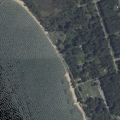 Beach Picnic Areawater 40 ft
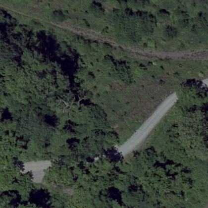 Severn Beachwater 280 ft · parking 525 yd
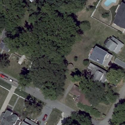 Bay Ridge BeachHighland Beach · water 225 yd
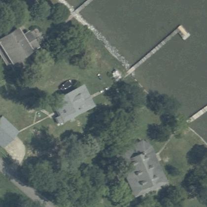 Wicomico Beachwater 330 ft
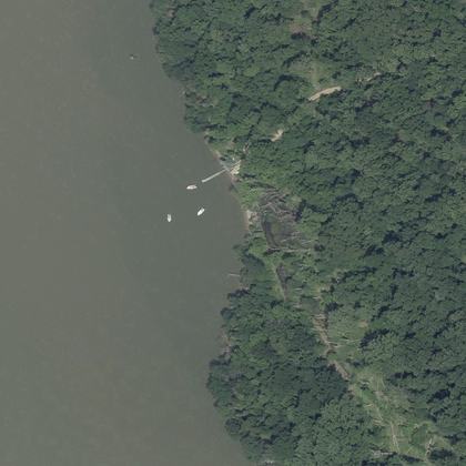 Clifton Beachwater 180 ft
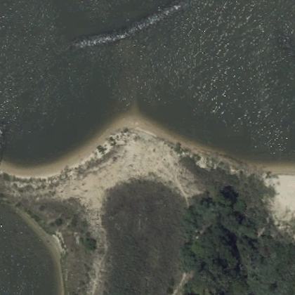 Idlewilde Restoration ProjectShady Side · water 100 ft
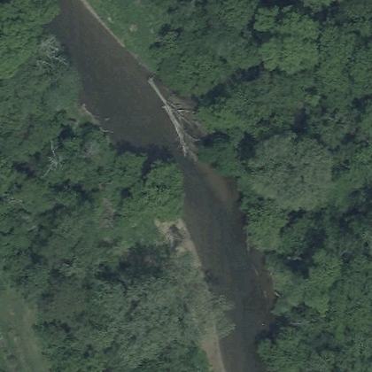 Pebble beachMiddletown · water not mapped
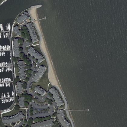 Sparrows Beachwater 250 ft · parking 300 yd
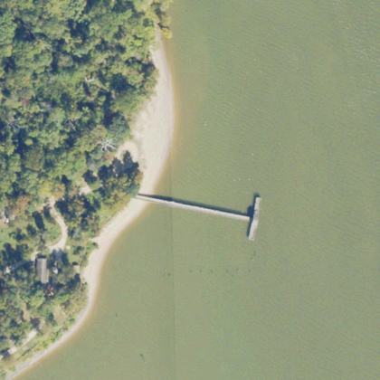 Freestone Point BeachWoodbridge · water 40 ft · parking 275 yd
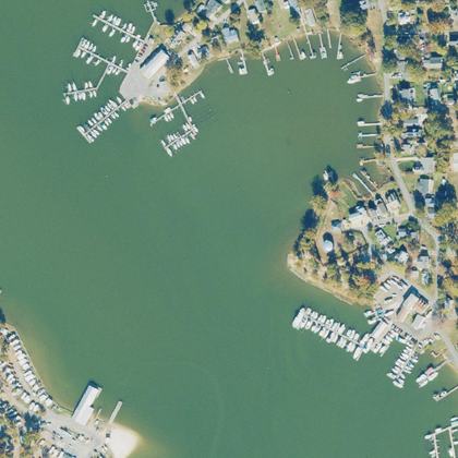 North BeachColonial Beach · water 110 ft · parking 240 ft
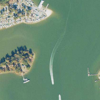 Colonial Beach Public Dog Park (Robin Grove Park)Colonial Beach · water 150 ft · parking 40 ft
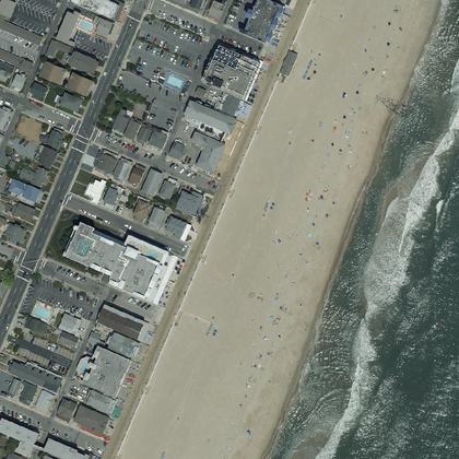 Surf Ave BeachOcean City · water 100 ft · parking 125 yd
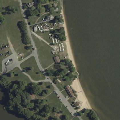 Rocky Point Park and Beach GateEssex · water 340 ft
All 30 beaches, by how many people rate them
| Beach | Town | Walk to water | Parking | Fee | Restrooms |
|---|---|---|---|---|---|
| Ocean City Beach | Ocean City | 300 yd | 125 yd | – | yes |
| Betterton Beach | Betterton | 170 ft | 230 ft | – | yes |
| North East Beach | North East | 150 yd | 290 ft | – | yes |
| Maryland Beach | Ocean City | 175 yd | 450 yd | free | – |
| Greenbriar Beach and Swim Area | on the sand | 200 yd | paid | yes | |
| Brownies Beach | 30 ft | 275 yd | paid | – | |
| Triton Beach | Mayo | 40 ft | – | paid | yes |
| Sand Island | Havre De Grace | 140 ft | – | – | – |
| Cove Point Beach | 150 ft | – | – | – | |
| Olde Severna Park Community Beach | Severna Park | 80 ft | 225 yd | – | – |
| Coldstream Beach | Linganore-Bartonsville | on the sand | 160 ft | – | yes |
| Bayfront Beach | on the sand | – | paid | – | |
| Carrs Beach | 240 ft | 250 yd | – | – | |
| Nightingale Beach | Linganore-Bartonsville | 60 ft | 375 yd | paid | yes |
| Belcamp Beach | 160 ft | 310 ft | – | – | |
| Piney Point Beach | Piney Point | 190 ft | – | – | – |
| Conquest Beach | 50 ft | – | paid | – | |
| Beach Picnic Area | 40 ft | – | – | yes | |
| Severn Beach | 280 ft | 525 yd | – | – | |
| Bay Ridge Beach | Highland Beach | 225 yd | – | – | – |
| Wicomico Beach | 330 ft | – | – | – | |
| Clifton Beach | 180 ft | – | paid | – | |
| Idlewilde Restoration Project | Shady Side | 100 ft | – | – | – |
| Pebble beach | Middletown | – | – | – | – |
| Sparrows Beach | 250 ft | 300 yd | – | – | |
| Freestone Point Beach | Woodbridge | 40 ft | 275 yd | – | – |
| North Beach | Colonial Beach | 110 ft | 240 ft | – | yes |
| Colonial Beach Public Dog Park (Robin Grove Park) | Colonial Beach | 150 ft | 40 ft | – | – |
| Surf Ave Beach | Ocean City | 100 ft | 125 yd | – | yes |
| Rocky Point Park and Beach Gate | Essex | 340 ft | – | – | yes |
Walk and parking distances are measured on OpenStreetMap. Fee and restrooms come from counted visitor reviews and mapped facilities. A dash means we have no evidence either way, not that the answer is no.
Common questions
Which Maryland beach has the shortest walk from the car?
Do you have to pay to park at Maryland beaches?
Which beaches have restrooms?
How current is this?
Where this comes from
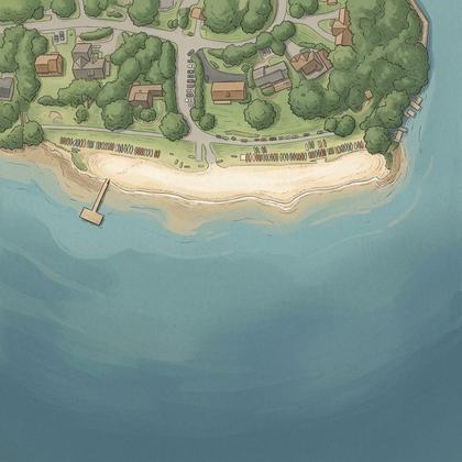
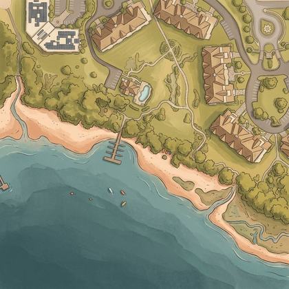
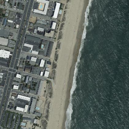
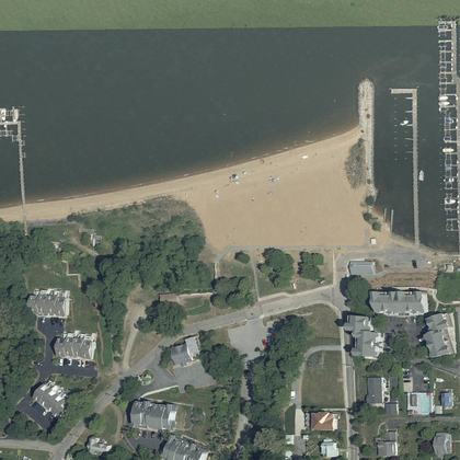
Place details from the public Google business listing. Beach shape, parking and facility positions from OpenStreetMap (ODbL). Aerial imagery is public-domain USGS NAIP. Tide comes from NOAA, and weather and water from Open-Meteo. Map drawings are redrawn from that aerial imagery by an image model. Markers, distances and every fact on this page come from OpenStreetMap and counted reviews, never from a drawing. Review text is never republished.
