Right Beaches › Maine
Maine beaches
173 beaches, with the parking, the walk to the water and the tide for each one.
Good places to start
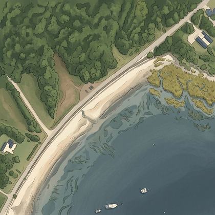
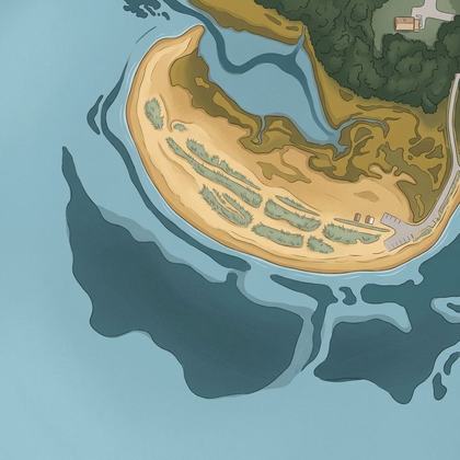
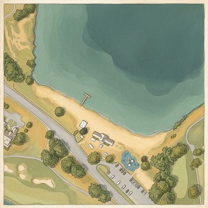
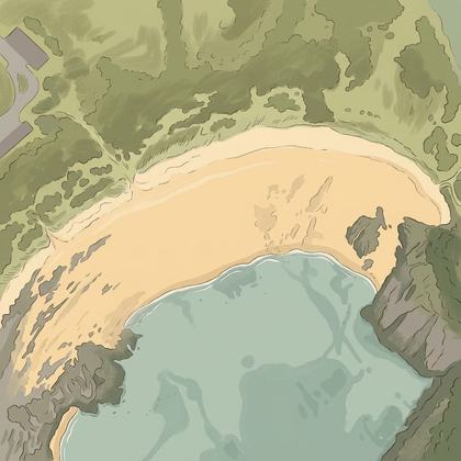
Lists for a particular day
Park almost on the sand
Beaches where parking is free
Calm water and bathrooms nearby
All beaches
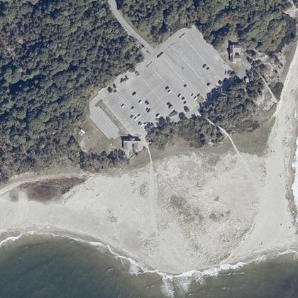
- Popham Beach State ParkPhippsburg · water 150 ft · parking 50 ft
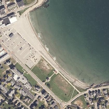
- Short Sands BeachYork · water 60 ft · parking 240 ft
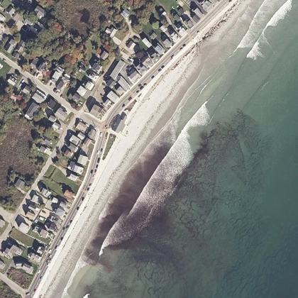 Long Sands BeachYork · water 50 ft
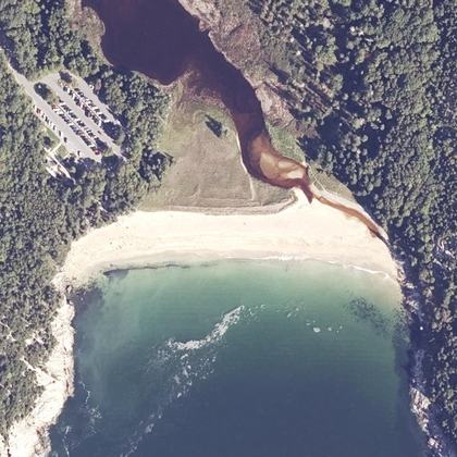 Sand BeachBar Harbor · water 80 ft · parking 175 yd
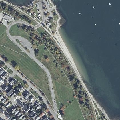 East End BeachPortland · water 90 ft · parking 150 yd
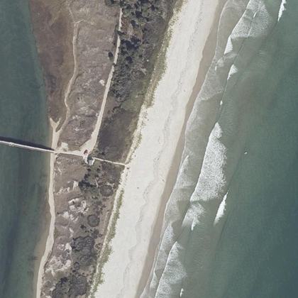 Footbridge BeachOgunquit · water 100 ft · parking 225 yd
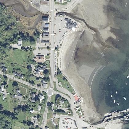 Lincolnville BeachLincolnville · on the shoreline · parking 80 ft
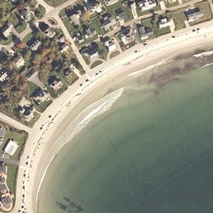 Gooch's BeachKennebunk · water 80 ft
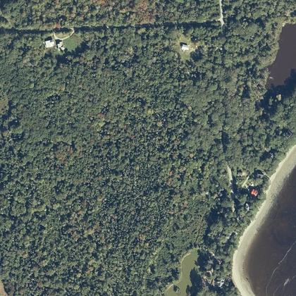 Sandy Point BeachStockton Springs · water 0.6 miles · parking 20 ft
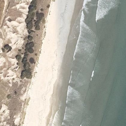 Ogunquit BeachOgunquit · water 150 ft
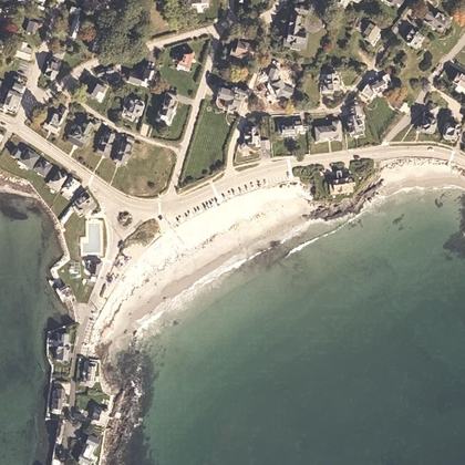 Mother's BeachKennebunk · water 40 ft · parking 100 ft
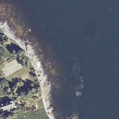 Bar Harbor Shore pathBar Harbor · water 60 ft · parking 400 yd
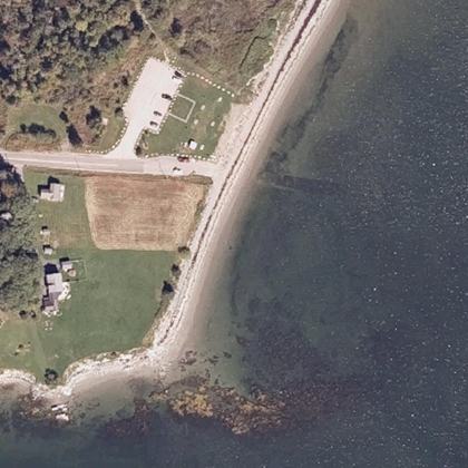 Lamoine Beach ParkLamoine · water 230 ft · parking 90 ft
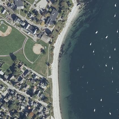 Willard BeachSouth Portland · on the shoreline · parking 175 yd
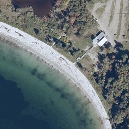 Pemaquid BeachNew Harbor · water 40 ft · parking 320 ft
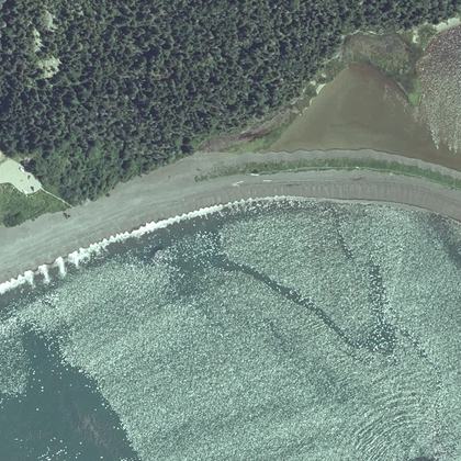 Jasper BeachMachiasport · water 80 ft
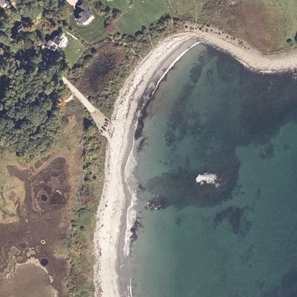 Seapoint BeachKittery · water 100 ft · parking 30 ft
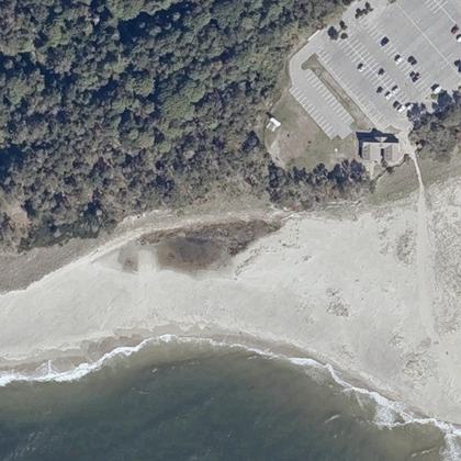 Popham BeachPhippsburg · water 125 yd · parking 100 ft
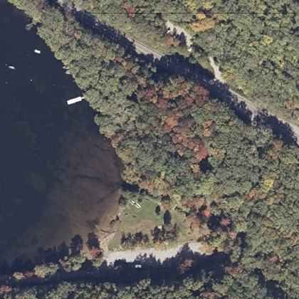 Barrett's Cove Public BeachCamden · water 40 ft
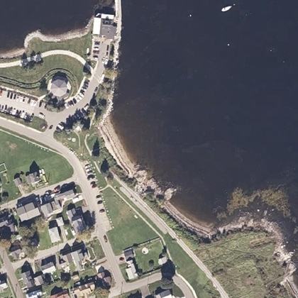 South End - (Sandy) BeachRockland · water 100 ft · parking 50 ft
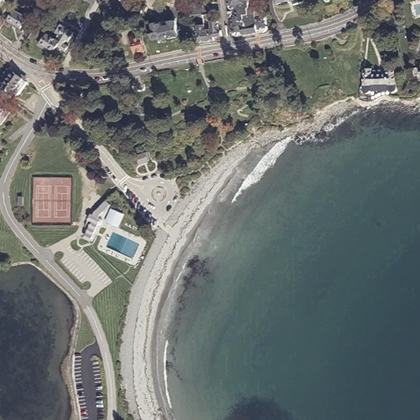 York Harbor BeachYork · water 170 ft · parking 270 ft
 Echo Lake BeachMt Desert · water 0.9 miles · parking 150 ft
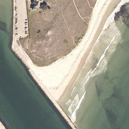 Drakes Island BeachWells · water 320 ft · parking 90 ft
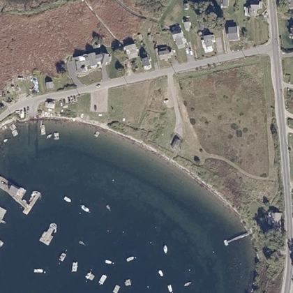 Johnson Field Preserve at Mackerel CoveBailey Island · water 290 ft · parking 280 ft
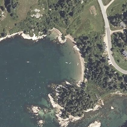 Sand BeachStonington · water 310 ft · parking 20 ft
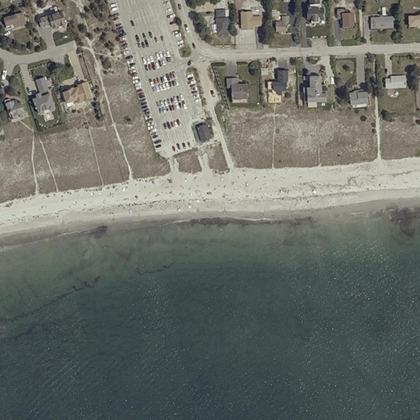 Pine Point BeachScarborough · on the shoreline · parking 90 ft
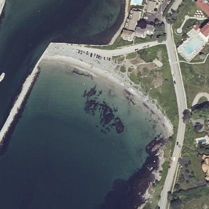 Colony BeachKennebunkport · water 70 ft · parking 120 ft
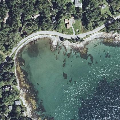 Drift Inn BeachSt. George · water 110 ft
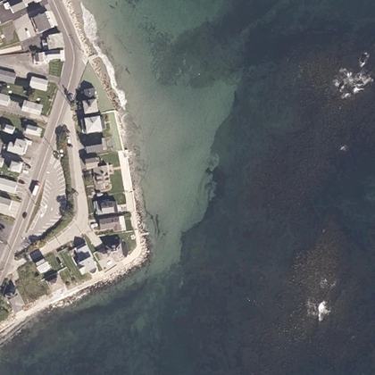 Crescent BeachWells · on the shoreline
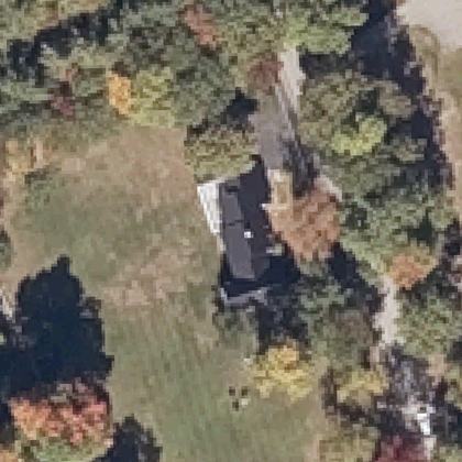 Highland Lake BeachBridgton · water 600 yd
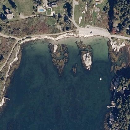 Hendrick's Head BeachSouthport · water 50 ft · parking 230 ft
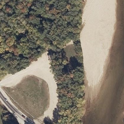 Westons BeachFryeburg · water not mapped · parking 50 ft
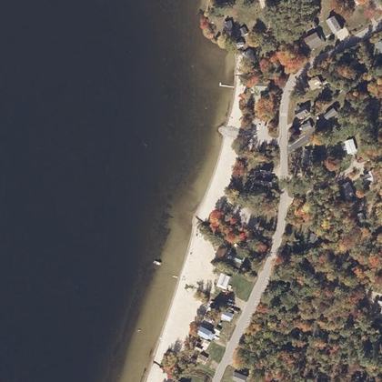 Ellis Pond Public BeachRoxbury · water 50 ft · parking 110 ft
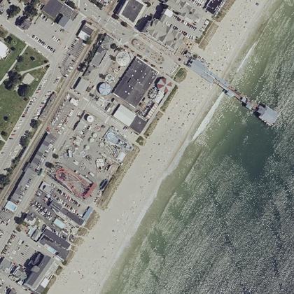 Old OrchardOld Orchard Beach · water 160 ft · parking 125 yd
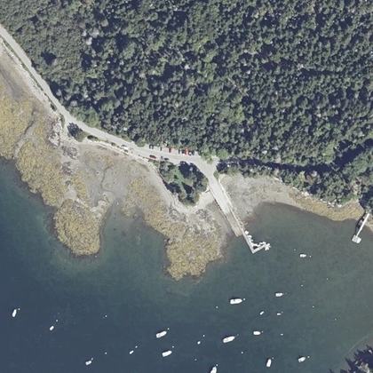 Seal Cove Picnic AreaSeal Cove · water 50 ft
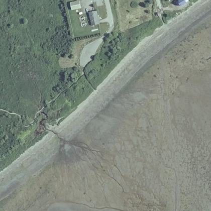 Mowry Beach PreserveLubec · water 260 ft
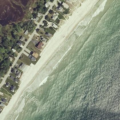 Fortunes Rocks BeachBiddeford · water 70 ft
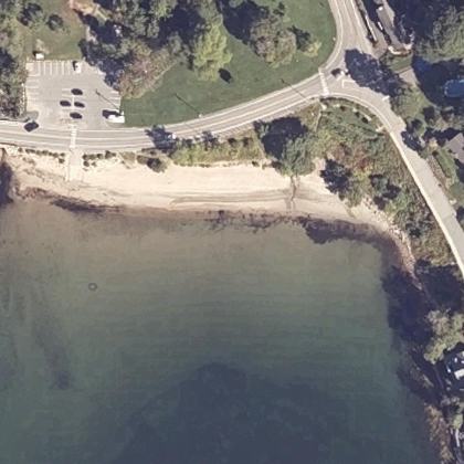 Seal Harbor BeachSeal Harbor · water 70 ft · parking 80 ft
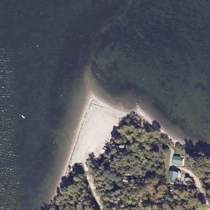 Hadley Point BeachBar Harbor · water 110 ft
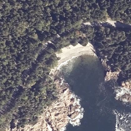 Little Hunters BeachMt Desert · water 70 ft
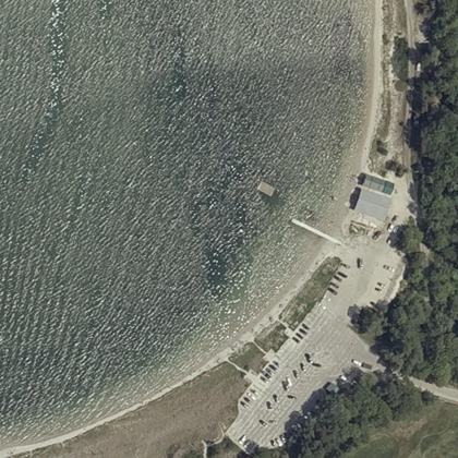 Ferry Road BeachScarborough · water 130 ft · parking 10 ft
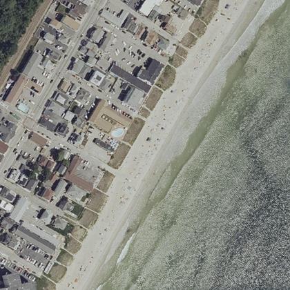 Old Orchard BeachOld Orchard Beach · water 100 ft · parking 275 yd
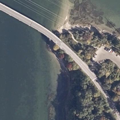 Sandy Point BridgeYarmouth · water 40 ft · parking 270 ft
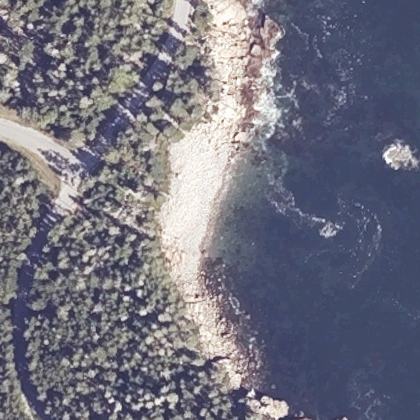 Boulder BeachBar Harbor · on the shoreline · parking 225 yd
- Plage des CantonsMagog · on the shoreline · parking 125 yd
- Plage du Lac StukelyOrford · water 310 ft · parking 350 yd
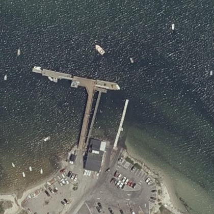 Pine PointScarborough · water 60 ft · parking 80 ft
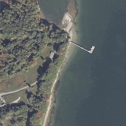 Broad Cove ReserveCumberland Foreside · water 280 ft · parking 575 yd
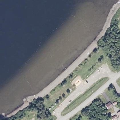 Portage Lake Public BeachPortage Lake · water 110 ft
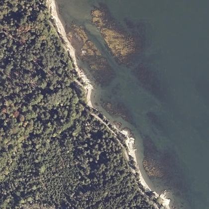 Carter's BeachHancock · water 40 ft
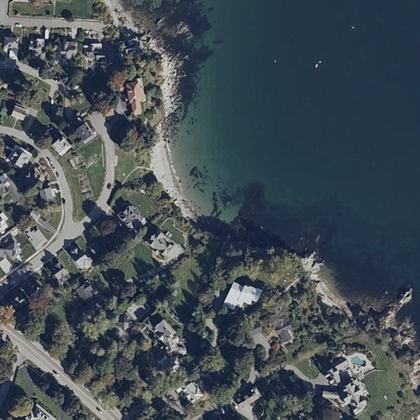 Cliff House BeachCape Elizabeth · water 60 ft · parking 400 yd
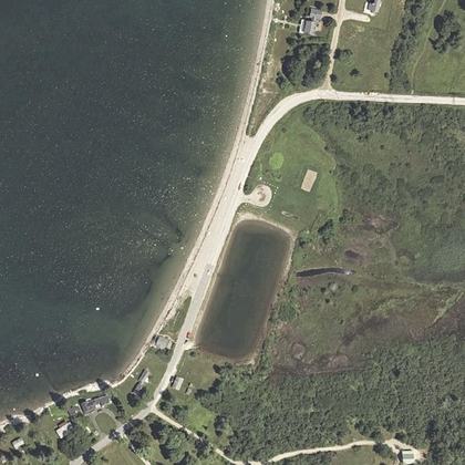 Wadsworth Cove BeachCastine · water 80 ft · parking 200 ft
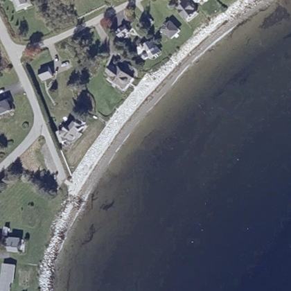 Crescent BeachOwls Head · water 100 ft · parking 120 ft
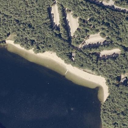 Range Pond BeachPoland · water 60 ft
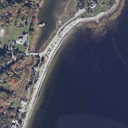 Crocket's BeachOwls Head · water 50 ft
- Plage Lucien-BlanchardSherbrooke · water 0.5 miles · parking 125 yd
- Stanley BeachGrand Manan · water 60 ft · parking 10 ft
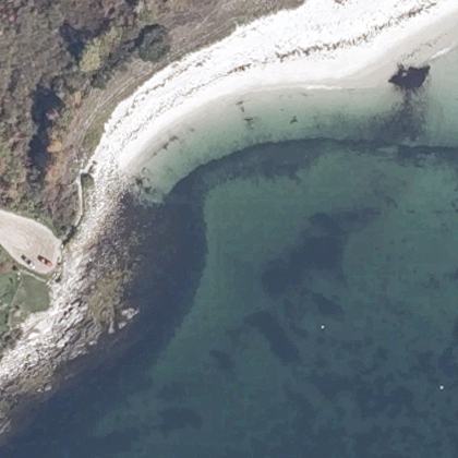 South BeachLong Island · water 60 ft
- Newbury Neck BeachSurry · water 150 ft
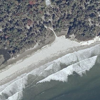 Sewall Beach, Morse MountainPhippsburg · water 50 ft
- New River BeachLepreau Parish · water 310 ft · parking 150 yd
- Port Maitland Beachwater 230 ft
- Marlboro BeachLamoine · water 50 ft
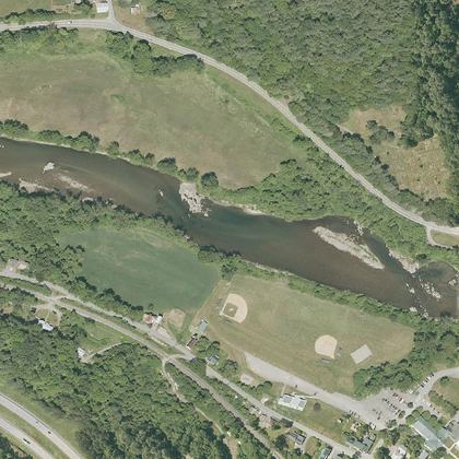 Paynes BeachSouth Royalton · water 825 yd · parking 260 ft
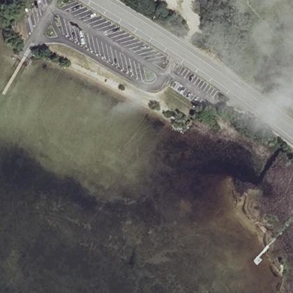 Raymond BeachRaymond · water 90 ft · parking 140 ft
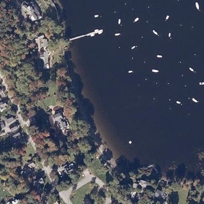 Laite Memorial BeachCamden · water 170 ft · parking 600 yd
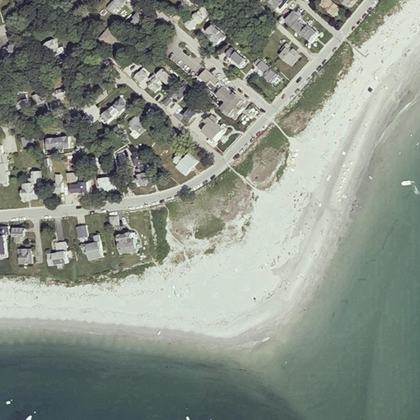 Goose Rocks BeachKennebunkport · water 80 ft · parking 125 yd
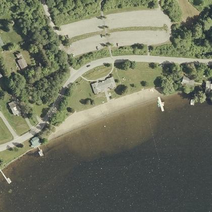 Elmore State Park Day Use BeachLake Elmore · water 130 ft · parking 150 ft
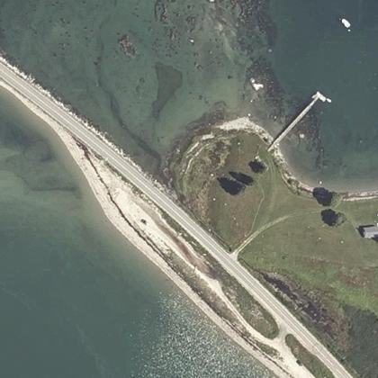 Causeway BeachDeer Isle · water 80 ft · parking 325 yd
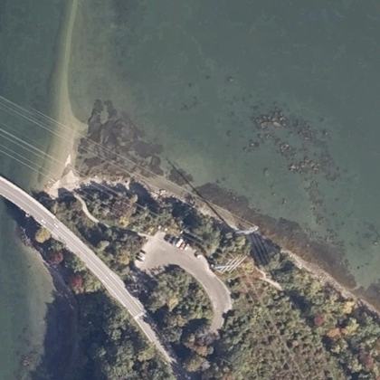 Sandy Point BeachYarmouth · water 140 ft · parking 40 ft
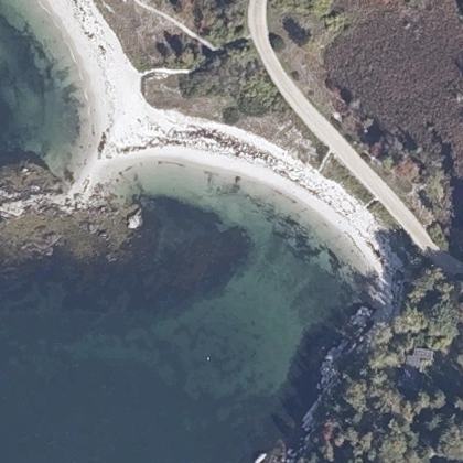 Fowler BeachLong Island · on the shoreline
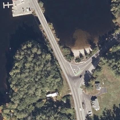 Mousam Lake 'The Foot'Shapleigh · on the shoreline
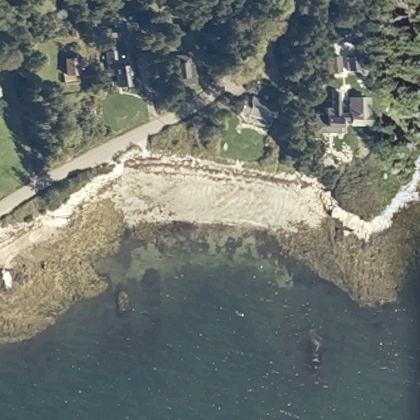 Walker's Beach (Martin's Point Beach)Friendship · water 50 ft
- Plage du Lac FraserOrford · water 60 ft · parking 250 ft
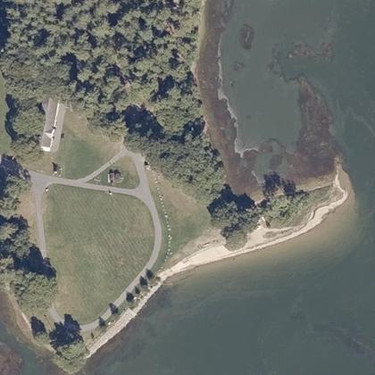 Thomas Point BeachBrunswick · water 40 ft
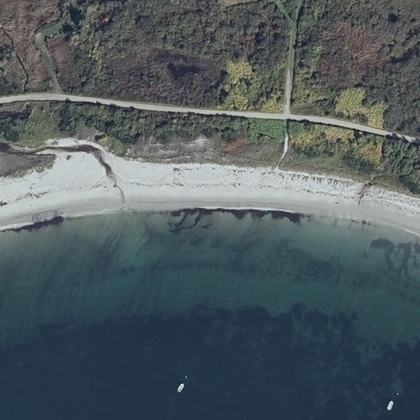 Crescent BeachCape Elizabeth · water 140 ft · parking 475 yd
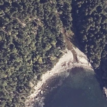 Hunters BeachMt Desert · water 50 ft · parking 475 yd
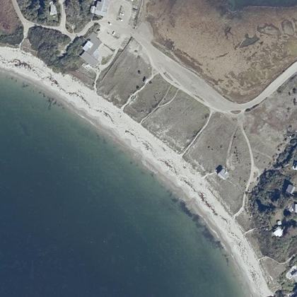 Head BeachPhippsburg · on the shoreline · parking 150 yd
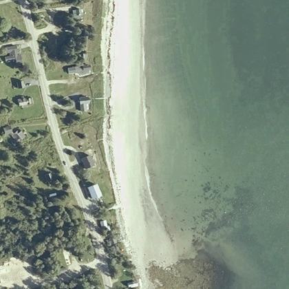 Sandy River BeachJonesport · water 150 yd
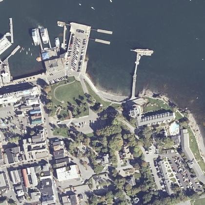 Town BeachBar Harbor · on the shoreline · parking 140 ft
- Lake Pinneo BeachQuechee · water 40 ft · parking 110 ft
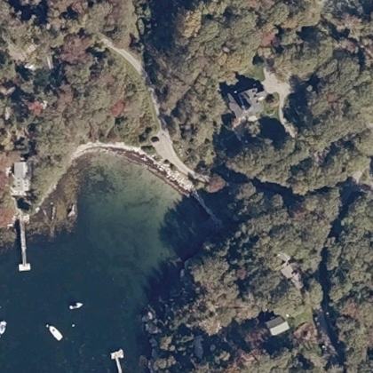 Sand Cove BeachSouth Bristol · on the shoreline
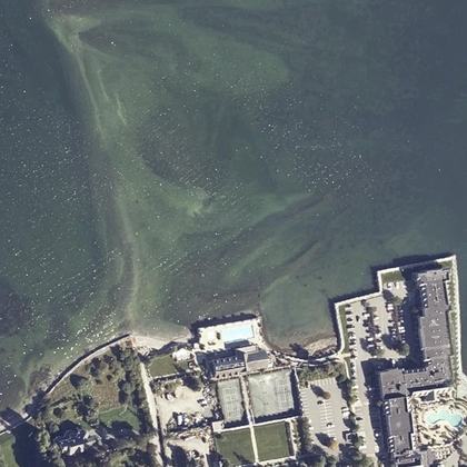 Bar Beachwater 250 yd · parking 275 yd
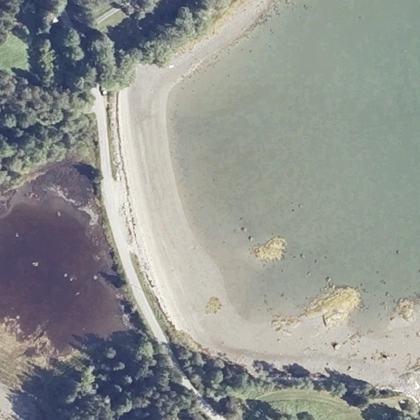 Reach BeachSunset · water 60 ft
 Sand Beach at Branch LakeEllsworth · water 50 ft · parking 325 yd
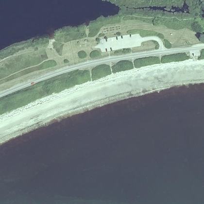 Roque Bluffs BeachRoque Bluffs · water 150 yd · parking 200 yd
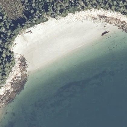 Fine Sand BeachSwans Island · water 170 ft
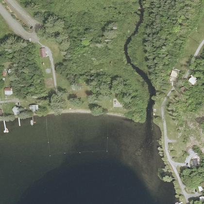 Harvey's Lake BeachBarnet · on the shoreline
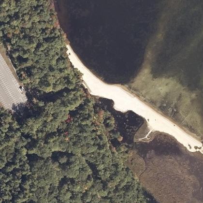 Rich Memorial Beach Sebago LakesStandish · on the shoreline · parking 340 ft
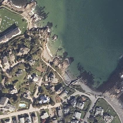 Little BeachOgunquit · water 40 ft · parking 250 yd
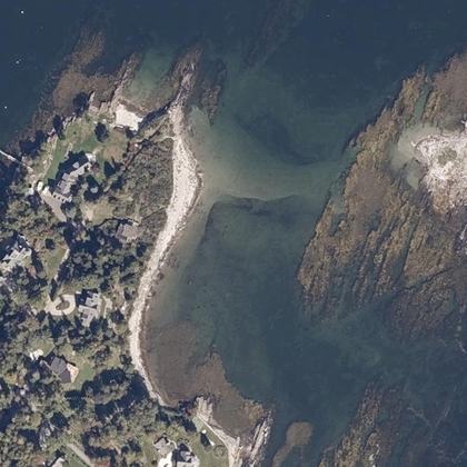 Cedar BeachHarpswell · on the shoreline
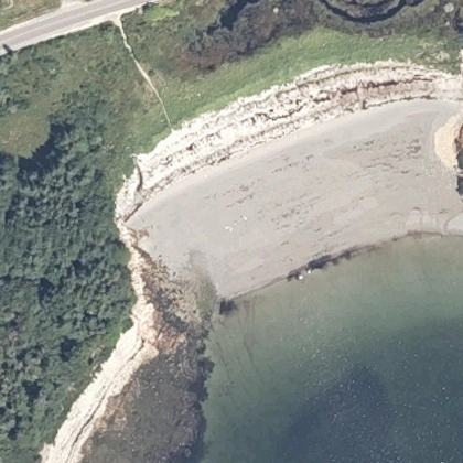 Sand Cove BeachProspect Harbor · water 100 ft
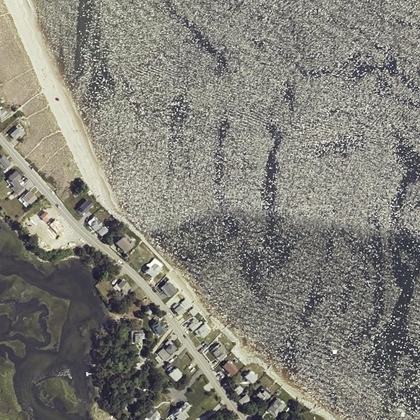 Hills BeachBiddeford · on the shoreline
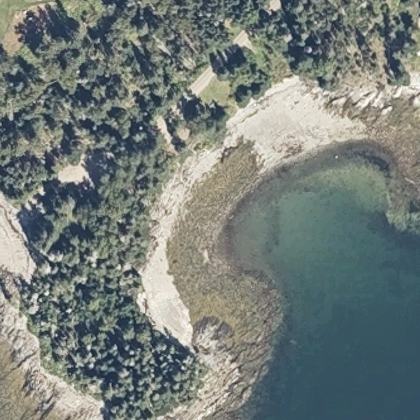 Islesboro Town BeachIslesboro · water 130 ft
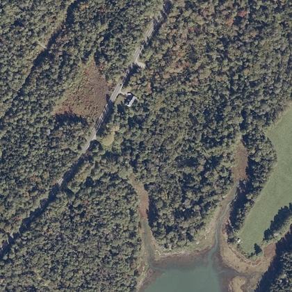 Widgeon Cove TrailHarpswell · water 300 yd · parking 10 ft
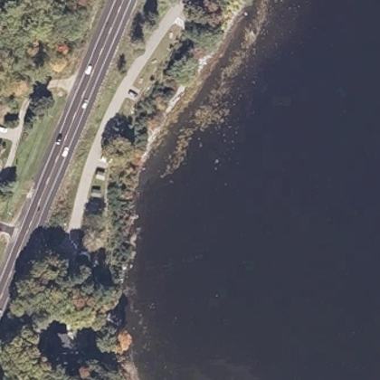 Glen Cove ParkRockport · water 140 ft · parking 525 yd
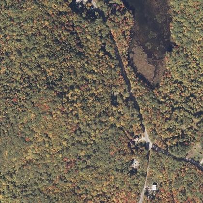 Greenwood Town BeachGreenwood · water 0.7 miles · parking 100 ft
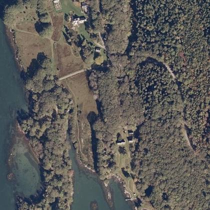 Seal Cove Shore PreserveSouth Bristol · water 275 yd
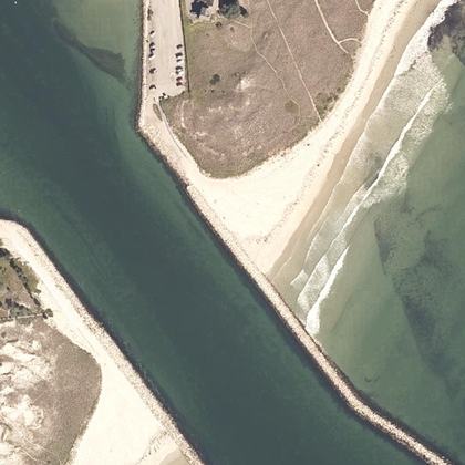 Sea WallWells · on the shoreline · parking 175 yd
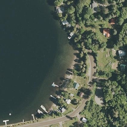 Public BeachGlover · on the shoreline · parking 180 ft
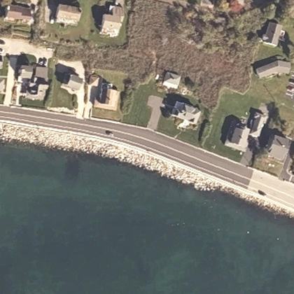 Middle BeachKennebunk · water 110 ft · parking 550 yd
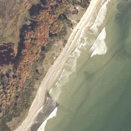 Laudholm BeachWells · water 320 ft
- Pettes Cove BeachGrand Manan · water 120 ft · parking 450 yd
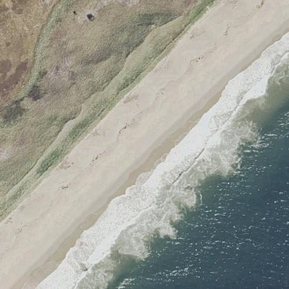 Mile BeachGeorgetown · water 330 ft
 Littlejohn BeachYarmouth · water 60 ft
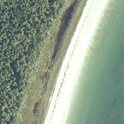 Great BeachJonesport · water 210 ft
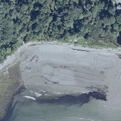 Wales BeachNorthport · water 160 ft
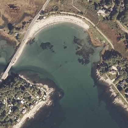 Cape Neddick BeachYork · water 275 yd
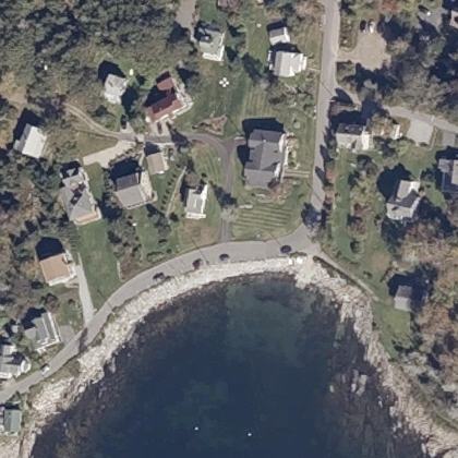 Ocean Point BeachEast Boothbay · water 50 ft · parking 80 ft
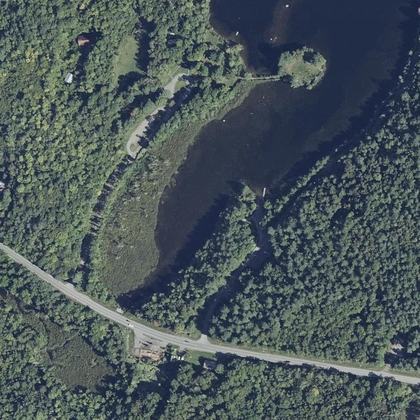 Lake George Regional Park - East BeachCanaan · water 1.0 miles · parking 90 ft
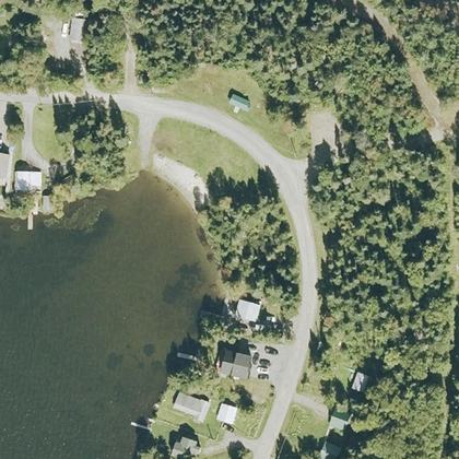 Philbrook BeachPittsburg · on the shoreline
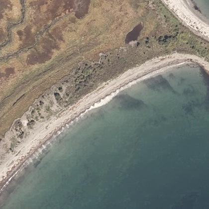 Crescent BeachKittery · water 180 ft · parking 625 yd
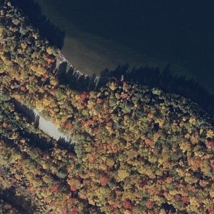 Rangeley Lake State Park BeachRangeley · water 40 ft · parking 260 ft
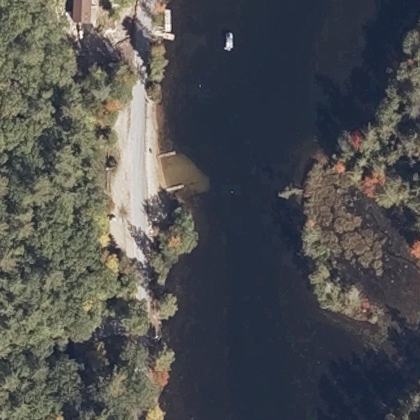 Denmark Town BeachDenmark · on the shoreline · parking 90 ft
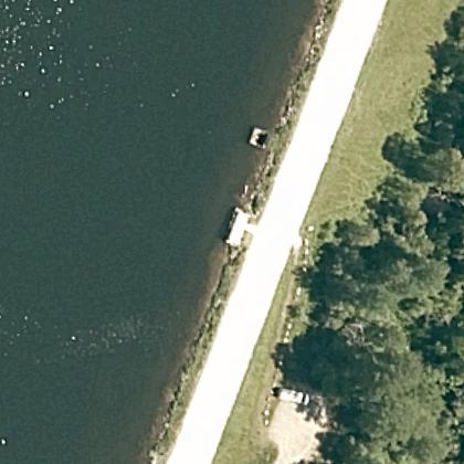 Kent Pond Shore Fishing AccessKillington · water 40 ft
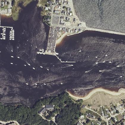 Freddy BeachBiddeford · water 550 yd · parking 330 ft
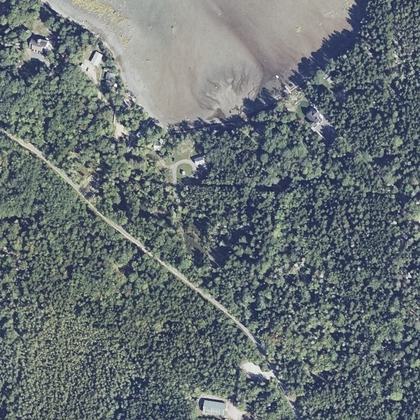 Eastern BeachBrooklin · water 325 yd · parking 60 ft
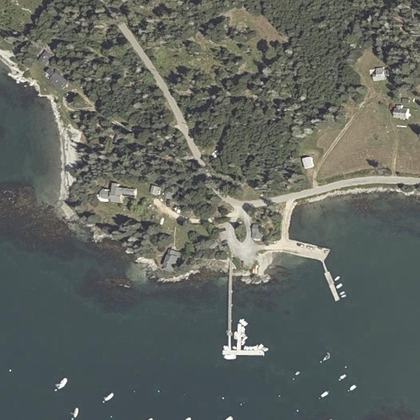 Sylvester's CoveDeer Isle · water 110 ft
- Raccoon BeachCampobello Island · on the shoreline · parking 125 yd
- Pembroke BeachYarmouth · water 140 ft
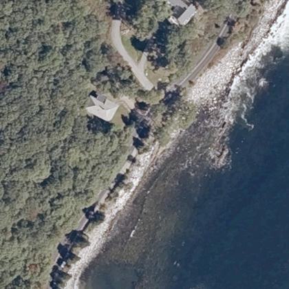 Rachael Carson Salt Pond PreserveBristol · on the shoreline
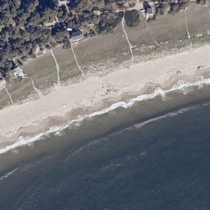 Hunnewell BeachPhippsburg · water 330 ft
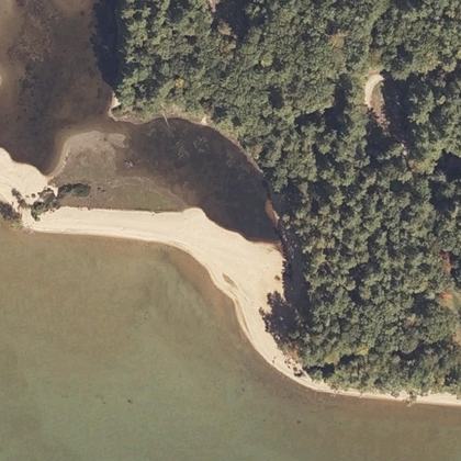 Sebago Lake state park beachCasco · water 70 ft
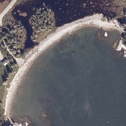 Back BeachTremont · water 50 ft · parking 20 ft
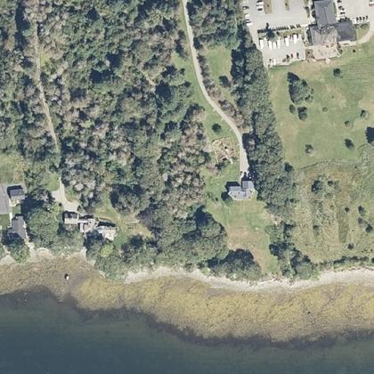 Public Shore Access - Stephenson Lane - City of Belfast Access PointBelfast · water 300 yd
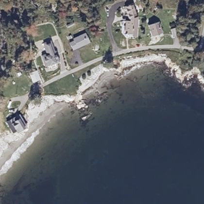 Lucia BeachOwls Head · water 50 ft · parking 400 yd
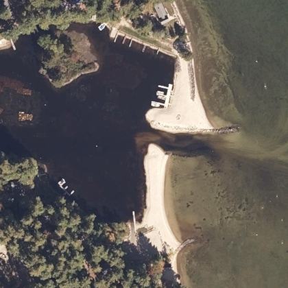 Sebago Town BeachSebago · on the shoreline
- False Harbour BeachYarmouth · water 100 ft
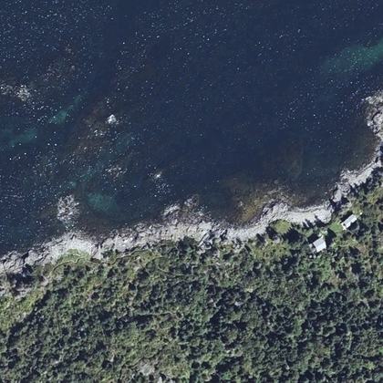 Pebble BeachMonhegan · on the shoreline
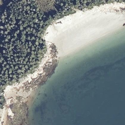 Sand BeachSwans Island · water 210 ft
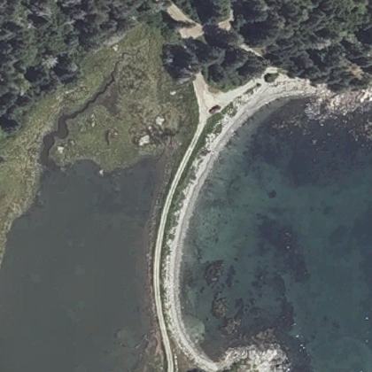 Geary's beachVinalhaven · water 80 ft
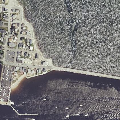 Camp Ellis ReachSaco · water 210 ft · parking 125 yd
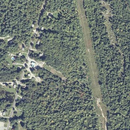 Dunn BeachOtis · water 1.1 miles
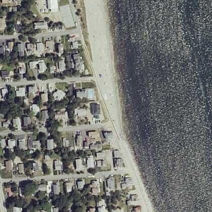 Ferry BeachSaco · water 160 ft · parking 175 yd
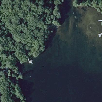 Rome Town BeachRome · on the shoreline · parking 475 yd
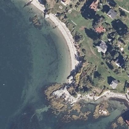 West Shore Sandy BeachPortland · on the shoreline
- Jones BeachLubec · water 70 ft · parking 300 yd
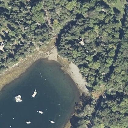 Big Tree BeachIslesboro · water 90 ft
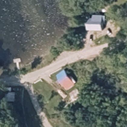 Sand Pond Public BeachChesterville · water 50 ft
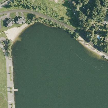 Lunenburg Town BeachLunenburg · water not mapped · parking 200 yd
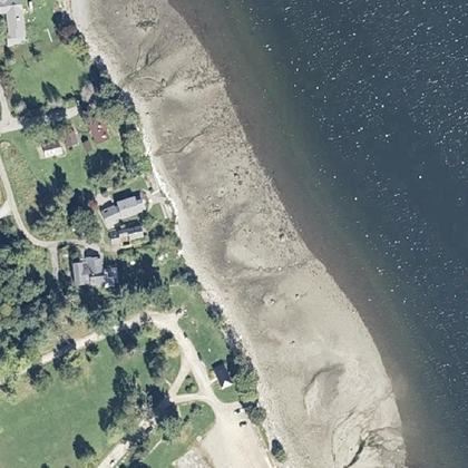 Mayo St- Path To ShoreBelfast · water 330 ft · parking 175 yd
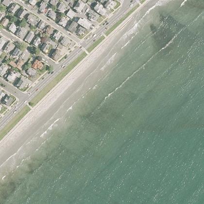 Kings Beachwater 170 ft · parking 550 yd
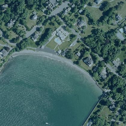 Josephs Beachwater 90 ft · parking 375 yd
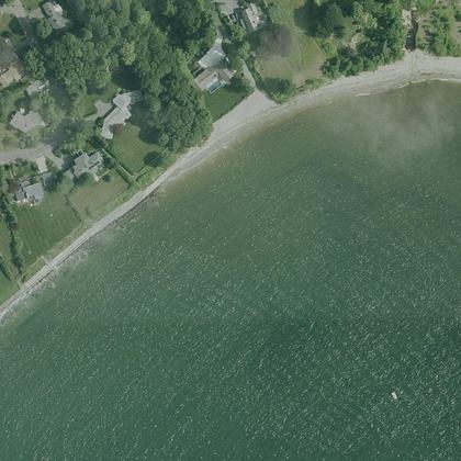 Patch Beachwater 150 yd · parking 550 yd
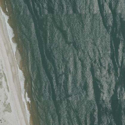 Plum Island Beachwater 600 yd
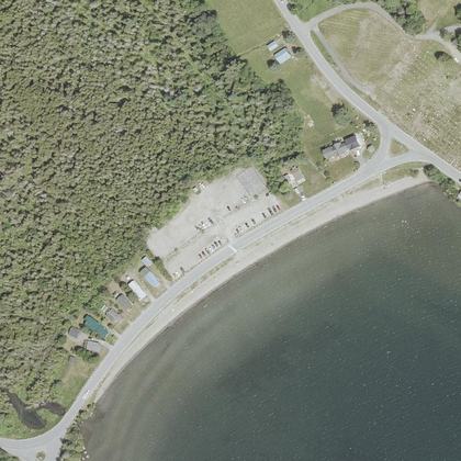 North Beachwater 70 ft · parking 160 ft
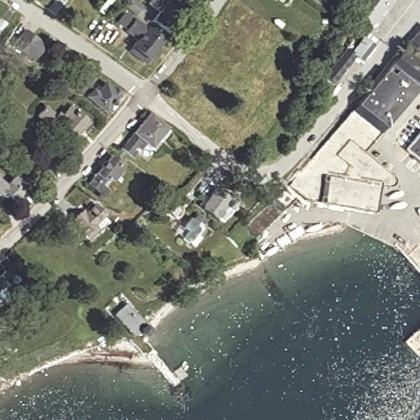 MMA Beachon the shoreline · parking 180 ft
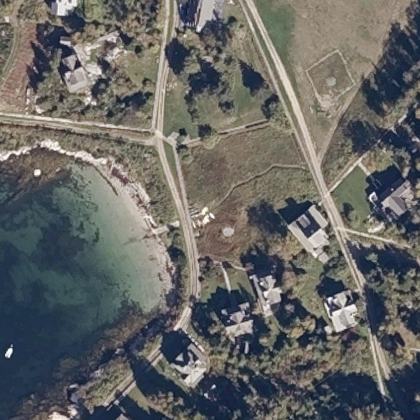 Spring Cove Beachon the shoreline
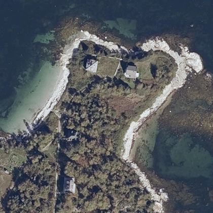 Sea Glass Beachon the shoreline
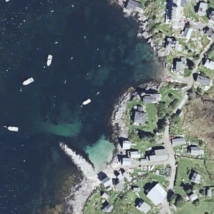 Swim Beachon the shoreline
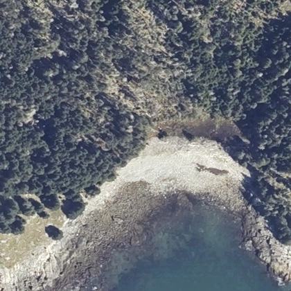 Southwest Covewater 50 ft
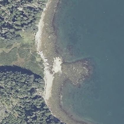 East Covewater 40 ft
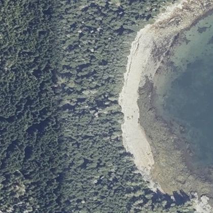 Schooner Coveon the shoreline
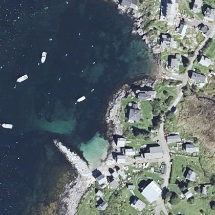 Fish Beachon the shoreline
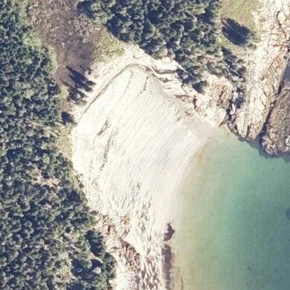 Sand Cove Beachon the shoreline
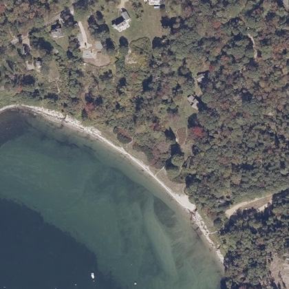 Chandler Cove Beachwater 150 ft
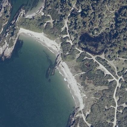 Sand Dune Beachwater 80 ft · parking 525 yd
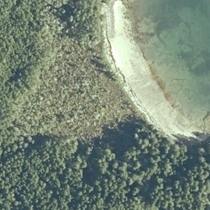 Two Mile Beachwater 100 ft
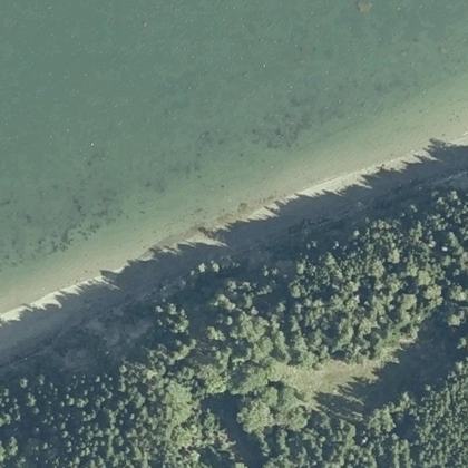 North Beachwater 125 yd
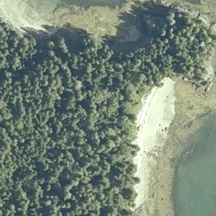 Susie Beachwater 50 ft
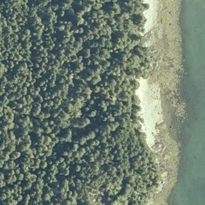 Georgie Beachwater 30 ft
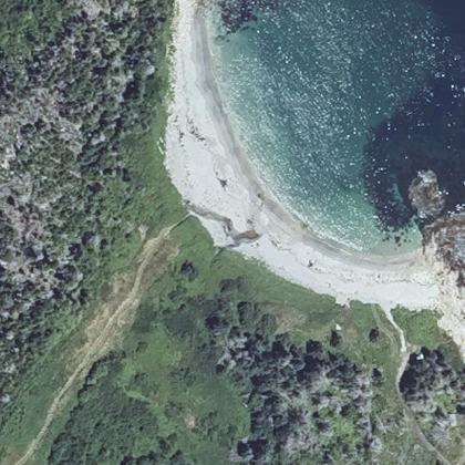 Markey Beachwater 130 ft
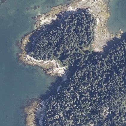 Ledge Beachwater 70 ft
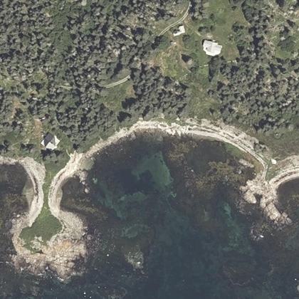 Clayfers Beachwater 120 ft
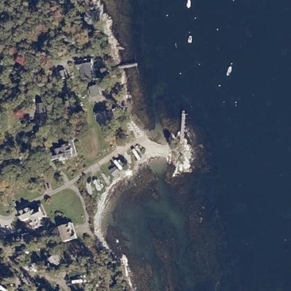 Sandy Beachon the shoreline
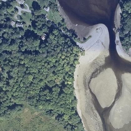 Ducktrap Beachwater 80 ft
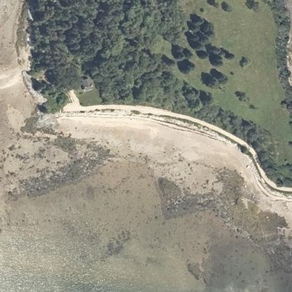 Rogers Point Beachwater 50 ft
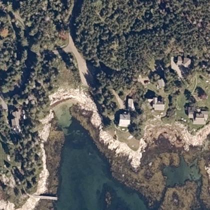 South Beachon the shoreline
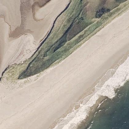 Half Mile Beachwater 80 ft · parking 475 yd
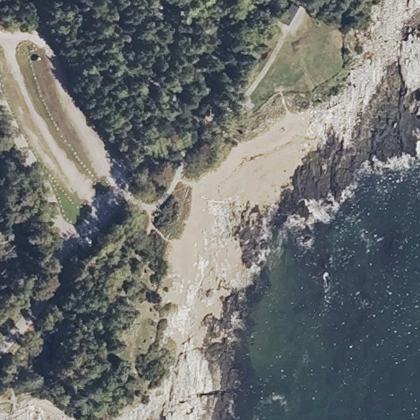 East Beachwater 40 ft · parking 230 ft
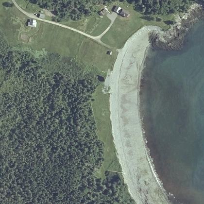 Boot Cove Beachwater 50 ft · parking 600 yd
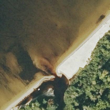 Sandy Beachwater 110 ft · parking 125 yd
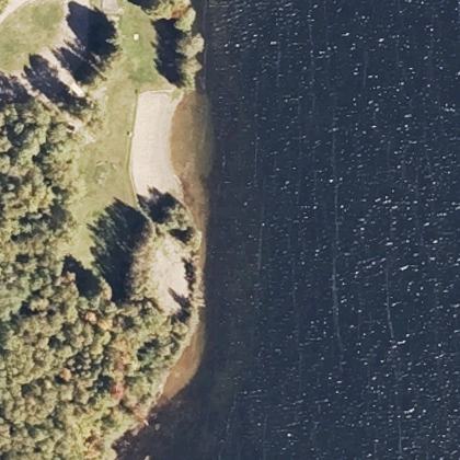 Cole's Landing Beachwater 70 ft
All 173 beaches, by how many people rate them
| Beach | Town | Walk to water | Parking | Fee | Restrooms |
|---|---|---|---|---|---|
| Popham Beach State Park | Phippsburg | 150 ft | 50 ft | paid | yes |
| Short Sands Beach | York | 60 ft | 240 ft | – | yes |
| Long Sands Beach | York | 50 ft | – | – | yes |
| Sand Beach | Bar Harbor | 80 ft | 175 yd | – | yes |
| East End Beach | Portland | 90 ft | 150 yd | – | yes |
| Footbridge Beach | Ogunquit | 100 ft | 225 yd | paid | yes |
| Lincolnville Beach | Lincolnville | on the sand | 80 ft | free | yes |
| Gooch's Beach | Kennebunk | 80 ft | – | paid | – |
| Sandy Point Beach | Stockton Springs | 0.6 miles | 20 ft | free | – |
| Ogunquit Beach | Ogunquit | 150 ft | – | – | yes |
| Mother's Beach | Kennebunk | 40 ft | 100 ft | paid | yes |
| Bar Harbor Shore path | Bar Harbor | 60 ft | 400 yd | – | yes |
| Lamoine Beach Park | Lamoine | 230 ft | 90 ft | free | yes |
| Willard Beach | South Portland | on the sand | 175 yd | free | yes |
| Pemaquid Beach | New Harbor | 40 ft | 320 ft | paid | yes |
| Jasper Beach | Machiasport | 80 ft | – | – | – |
| Seapoint Beach | Kittery | 100 ft | 30 ft | – | – |
| Popham Beach | Phippsburg | 125 yd | 100 ft | – | yes |
| Barrett's Cove Public Beach | Camden | 40 ft | – | free | yes |
| South End - (Sandy) Beach | Rockland | 100 ft | 50 ft | free | yes |
| York Harbor Beach | York | 170 ft | 270 ft | paid | yes |
| Echo Lake Beach | Mt Desert | 0.9 miles | 150 ft | – | yes |
| Drakes Island Beach | Wells | 320 ft | 90 ft | paid | yes |
| Johnson Field Preserve at Mackerel Cove | Bailey Island | 290 ft | 280 ft | – | – |
| Sand Beach | Stonington | 310 ft | 20 ft | – | – |
| Pine Point Beach | Scarborough | on the sand | 90 ft | paid | yes |
| Colony Beach | Kennebunkport | 70 ft | 120 ft | free | – |
| Drift Inn Beach | St. George | 110 ft | – | free | yes |
| Crescent Beach | Wells | on the sand | – | – | – |
| Highland Lake Beach | Bridgton | 600 yd | – | free | – |
| Hendrick's Head Beach | Southport | 50 ft | 230 ft | free | – |
| Westons Beach | Fryeburg | – | 50 ft | – | yes |
| Ellis Pond Public Beach | Roxbury | 50 ft | 110 ft | – | – |
| Old Orchard | Old Orchard Beach | 160 ft | 125 yd | paid | yes |
| Seal Cove Picnic Area | Seal Cove | 50 ft | – | – | yes |
| Mowry Beach Preserve | Lubec | 260 ft | – | – | yes |
| Fortunes Rocks Beach | Biddeford | 70 ft | – | – | – |
| Seal Harbor Beach | Seal Harbor | 70 ft | 80 ft | – | yes |
| Hadley Point Beach | Bar Harbor | 110 ft | – | – | – |
| Little Hunters Beach | Mt Desert | 70 ft | – | – | – |
| Ferry Road Beach | Scarborough | 130 ft | 10 ft | paid | yes |
| Old Orchard Beach | Old Orchard Beach | 100 ft | 275 yd | paid | yes |
| Sandy Point Bridge | Yarmouth | 40 ft | 270 ft | – | – |
| Boulder Beach | Bar Harbor | on the sand | 225 yd | – | yes |
| Plage des Cantons | Magog | on the sand | 125 yd | paid | yes |
| Plage du Lac Stukely | Orford | 310 ft | 350 yd | paid | yes |
| Pine Point | Scarborough | 60 ft | 80 ft | – | – |
| Broad Cove Reserve | Cumberland Foreside | 280 ft | 575 yd | – | – |
| Portage Lake Public Beach | Portage Lake | 110 ft | – | – | yes |
| Carter's Beach | Hancock | 40 ft | – | – | – |
| Cliff House Beach | Cape Elizabeth | 60 ft | 400 yd | – | – |
| Wadsworth Cove Beach | Castine | 80 ft | 200 ft | – | yes |
| Crescent Beach | Owls Head | 100 ft | 120 ft | – | – |
| Range Pond Beach | Poland | 60 ft | – | paid | yes |
| Crocket's Beach | Owls Head | 50 ft | – | – | – |
| Plage Lucien-Blanchard | Sherbrooke | 0.5 miles | 125 yd | – | – |
| Stanley Beach | Grand Manan | 60 ft | 10 ft | – | – |
| South Beach | Long Island | 60 ft | – | – | yes |
| Newbury Neck Beach | Surry | 150 ft | – | – | – |
| Sewall Beach, Morse Mountain | Phippsburg | 50 ft | – | – | – |
| New River Beach | Lepreau Parish | 310 ft | 150 yd | paid | yes |
| Port Maitland Beach | 230 ft | – | – | yes | |
| Marlboro Beach | Lamoine | 50 ft | – | – | yes |
| Paynes Beach | South Royalton | 825 yd | 260 ft | – | – |
| Raymond Beach | Raymond | 90 ft | 140 ft | free | – |
| Laite Memorial Beach | Camden | 170 ft | 600 yd | free | yes |
| Goose Rocks Beach | Kennebunkport | 80 ft | 125 yd | – | yes |
| Elmore State Park Day Use Beach | Lake Elmore | 130 ft | 150 ft | – | yes |
| Causeway Beach | Deer Isle | 80 ft | 325 yd | free | – |
| Sandy Point Beach | Yarmouth | 140 ft | 40 ft | free | yes |
| Fowler Beach | Long Island | on the sand | – | – | – |
| Mousam Lake 'The Foot' | Shapleigh | on the sand | – | – | – |
| Walker's Beach (Martin's Point Beach) | Friendship | 50 ft | – | – | – |
| Plage du Lac Fraser | Orford | 60 ft | 250 ft | paid | yes |
| Thomas Point Beach | Brunswick | 40 ft | – | paid | yes |
| Crescent Beach | Cape Elizabeth | 140 ft | 475 yd | – | yes |
| Hunters Beach | Mt Desert | 50 ft | 475 yd | – | – |
| Head Beach | Phippsburg | on the sand | 150 yd | paid | yes |
| Sandy River Beach | Jonesport | 150 yd | – | – | – |
| Town Beach | Bar Harbor | on the sand | 140 ft | free | yes |
| Lake Pinneo Beach | Quechee | 40 ft | 110 ft | – | – |
| Sand Cove Beach | South Bristol | on the sand | – | – | – |
| Bar Beach | 250 yd | 275 yd | – | yes | |
| Reach Beach | Sunset | 60 ft | – | – | – |
| Sand Beach at Branch Lake | Ellsworth | 50 ft | 325 yd | – | – |
| Roque Bluffs Beach | Roque Bluffs | 150 yd | 200 yd | – | – |
| Fine Sand Beach | Swans Island | 170 ft | – | – | – |
| Harvey's Lake Beach | Barnet | on the sand | – | – | yes |
| Rich Memorial Beach Sebago Lakes | Standish | on the sand | 340 ft | paid | – |
| Little Beach | Ogunquit | 40 ft | 250 yd | – | – |
| Cedar Beach | Harpswell | on the sand | – | – | – |
| Sand Cove Beach | Prospect Harbor | 100 ft | – | – | – |
| Hills Beach | Biddeford | on the sand | – | – | – |
| Islesboro Town Beach | Islesboro | 130 ft | – | – | – |
| Widgeon Cove Trail | Harpswell | 300 yd | 10 ft | – | – |
| Glen Cove Park | Rockport | 140 ft | 525 yd | – | – |
| Greenwood Town Beach | Greenwood | 0.7 miles | 100 ft | – | – |
| Seal Cove Shore Preserve | South Bristol | 275 yd | – | – | – |
| Sea Wall | Wells | on the sand | 175 yd | paid | yes |
| Public Beach | Glover | on the sand | 180 ft | – | – |
| Middle Beach | Kennebunk | 110 ft | 550 yd | – | – |
| Laudholm Beach | Wells | 320 ft | – | – | – |
| Pettes Cove Beach | Grand Manan | 120 ft | 450 yd | – | – |
| Mile Beach | Georgetown | 330 ft | – | – | yes |
| Littlejohn Beach | Yarmouth | 60 ft | – | – | – |
| Great Beach | Jonesport | 210 ft | – | – | – |
| Wales Beach | Northport | 160 ft | – | – | – |
| Cape Neddick Beach | York | 275 yd | – | – | – |
| Ocean Point Beach | East Boothbay | 50 ft | 80 ft | – | – |
| Lake George Regional Park - East Beach | Canaan | 1.0 miles | 90 ft | – | – |
| Philbrook Beach | Pittsburg | on the sand | – | – | yes |
| Crescent Beach | Kittery | 180 ft | 625 yd | – | – |
| Rangeley Lake State Park Beach | Rangeley | 40 ft | 260 ft | – | yes |
| Denmark Town Beach | Denmark | on the sand | 90 ft | – | – |
| Kent Pond Shore Fishing Access | Killington | 40 ft | – | – | – |
| Freddy Beach | Biddeford | 550 yd | 330 ft | – | – |
| Eastern Beach | Brooklin | 325 yd | 60 ft | – | – |
| Sylvester's Cove | Deer Isle | 110 ft | – | – | – |
| Raccoon Beach | Campobello Island | on the sand | 125 yd | – | yes |
| Pembroke Beach | Yarmouth | 140 ft | – | – | – |
| Rachael Carson Salt Pond Preserve | Bristol | on the sand | – | – | – |
| Hunnewell Beach | Phippsburg | 330 ft | – | – | – |
| Sebago Lake state park beach | Casco | 70 ft | – | – | yes |
| Back Beach | Tremont | 50 ft | 20 ft | – | – |
| Public Shore Access - Stephenson Lane - City of Belfast Access Point | Belfast | 300 yd | – | – | – |
| Lucia Beach | Owls Head | 50 ft | 400 yd | – | – |
| Sebago Town Beach | Sebago | on the sand | – | paid | – |
| False Harbour Beach | Yarmouth | 100 ft | – | – | – |
| Pebble Beach | Monhegan | on the sand | – | – | – |
| Sand Beach | Swans Island | 210 ft | – | – | – |
| Geary's beach | Vinalhaven | 80 ft | – | – | – |
| Camp Ellis Reach | Saco | 210 ft | 125 yd | – | – |
| Dunn Beach | Otis | 1.1 miles | – | – | – |
| Ferry Beach | Saco | 160 ft | 175 yd | – | yes |
| Rome Town Beach | Rome | on the sand | 475 yd | – | – |
| West Shore Sandy Beach | Portland | on the sand | – | – | – |
| Jones Beach | Lubec | 70 ft | 300 yd | – | – |
| Big Tree Beach | Islesboro | 90 ft | – | – | – |
| Sand Pond Public Beach | Chesterville | 50 ft | – | – | – |
| Lunenburg Town Beach | Lunenburg | – | 200 yd | – | – |
| Mayo St- Path To Shore | Belfast | 330 ft | 175 yd | – | – |
| Kings Beach | 170 ft | 550 yd | – | – | |
| Josephs Beach | 90 ft | 375 yd | – | – | |
| Patch Beach | 150 yd | 550 yd | – | – | |
| Plum Island Beach | 600 yd | – | – | – | |
| North Beach | 70 ft | 160 ft | – | yes | |
| MMA Beach | on the sand | 180 ft | – | yes | |
| Spring Cove Beach | on the sand | – | – | – | |
| Sea Glass Beach | on the sand | – | – | – | |
| Swim Beach | on the sand | – | – | yes | |
| Southwest Cove | 50 ft | – | – | – | |
| East Cove | 40 ft | – | – | – | |
| Schooner Cove | on the sand | – | – | – | |
| Fish Beach | on the sand | – | – | yes | |
| Sand Cove Beach | on the sand | – | – | – | |
| Chandler Cove Beach | 150 ft | – | – | – | |
| Sand Dune Beach | 80 ft | 525 yd | – | yes | |
| Two Mile Beach | 100 ft | – | – | – | |
| North Beach | 125 yd | – | – | – | |
| Susie Beach | 50 ft | – | – | – | |
| Georgie Beach | 30 ft | – | – | – | |
| Markey Beach | 130 ft | – | – | – | |
| Ledge Beach | 70 ft | – | – | – | |
| Clayfers Beach | 120 ft | – | – | – | |
| Sandy Beach | on the sand | – | – | – | |
| Ducktrap Beach | 80 ft | – | – | – | |
| Rogers Point Beach | 50 ft | – | – | – | |
| South Beach | on the sand | – | – | – | |
| Half Mile Beach | 80 ft | 475 yd | – | yes | |
| East Beach | 40 ft | 230 ft | – | yes | |
| Boot Cove Beach | 50 ft | 600 yd | – | – | |
| Sandy Beach | 110 ft | 125 yd | – | – | |
| Cole's Landing Beach | 70 ft | – | – | – |
Walk and parking distances are measured on OpenStreetMap. Fee and restrooms come from counted visitor reviews and mapped facilities. A dash means we have no evidence either way, not that the answer is no.
Common questions
Which Maine beach has the shortest walk from the car?
Do you have to pay to park at Maine beaches?
Which beaches have restrooms?
How current is this?
Where this comes from
Place details from the public Google business listing. Beach shape, parking and facility positions from OpenStreetMap (ODbL). Aerial imagery is public-domain USGS NAIP. Tide comes from NOAA, and weather and water from Open-Meteo. Map drawings are redrawn from that aerial imagery by an image model. Markers, distances and every fact on this page come from OpenStreetMap and counted reviews, never from a drawing. Review text is never republished.
