Right Beaches › Indiana
Indiana beaches
19 beaches, with the parking, the walk to the water and the tide for each one.
Good places to start
Lists for a particular day
Park almost on the sand
Beaches where parking is free
Calm water and bathrooms nearby
All beaches
- Washington Park BeachMichigan City · water 210 ft · parking 90 ft
- Porter BeachPorter · water 130 ft · parking 280 ft
- Lake Street BeachGary · water 200 yd · parking 100 ft
- Fairfax Beach, Lake MonroeBloomington · water 190 ft
- Central Beachwater 60 ft
- Whihala Beachwater 120 ft · parking 310 ft
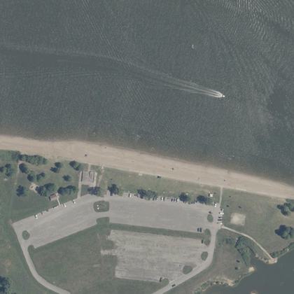 Salamonie BeachPolk Township · water 120 ft · parking 180 ft
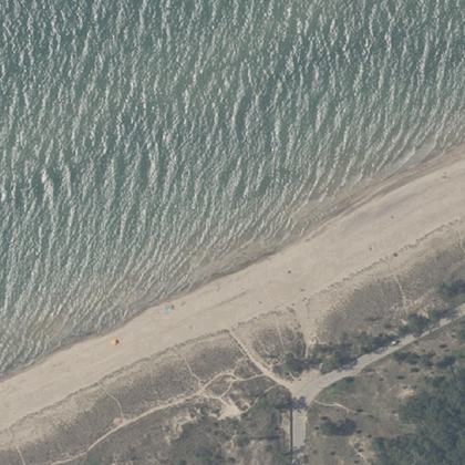 Kemil BeachWestchester Township · water 160 ft · parking 400 yd
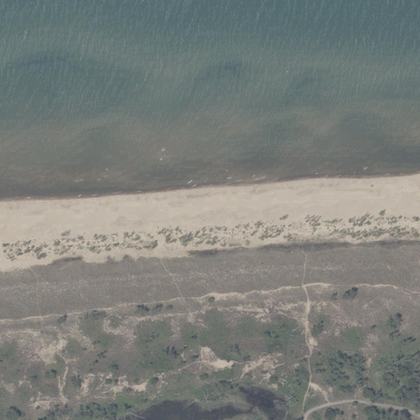 Marquette Park BeachMiller Beach · water 30 ft · parking 250 yd
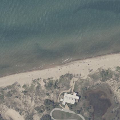 West BeachPortage · water 150 ft · parking 425 yd
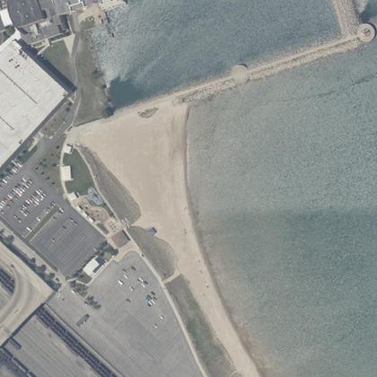 Jeorse Park Beach Ind.East Chicago · water 130 ft · parking 200 ft
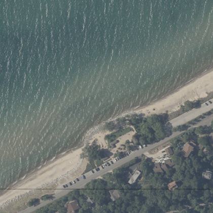 Lake View BeachBeverly Shores · water 120 ft · parking 110 ft
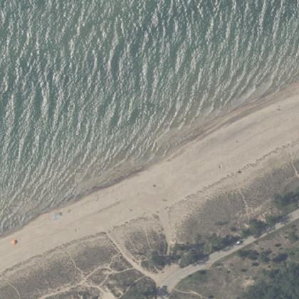 Dunbar BeachBeverly Shores · water 230 ft · parking 425 yd
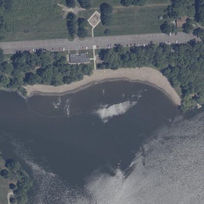 Starve Hollow State BeachDriftwood Township · on the shoreline
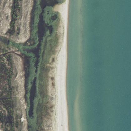 Waukegan Beachwater 40 ft · parking 300 yd
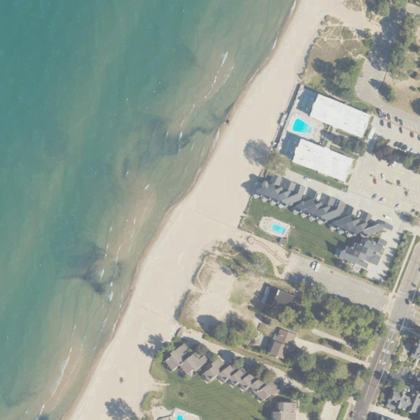 Dyckman Beachwater 70 ft · parking 300 ft
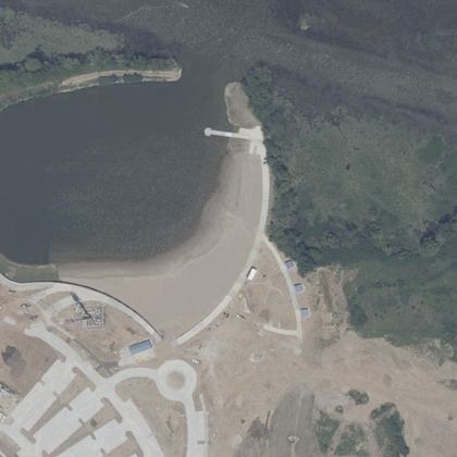 Geist Beachwater 330 ft · parking 200 yd
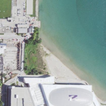 North Beachwater 270 ft · parking 200 yd
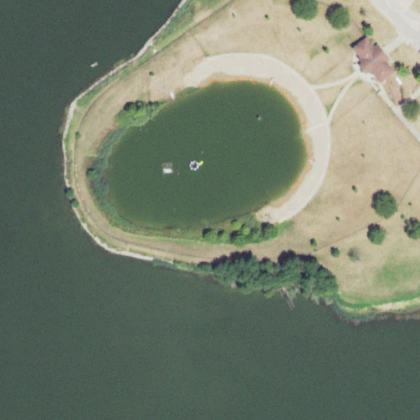 F.R. Glasener Beachwater 280 ft
All 19 beaches, by how many people rate them
| Beach | Town | Walk to water | Parking | Fee | Restrooms |
|---|---|---|---|---|---|
| Washington Park Beach | Michigan City | 210 ft | 90 ft | – | yes |
| Porter Beach | Porter | 130 ft | 280 ft | paid | yes |
| Lake Street Beach | Gary | 200 yd | 100 ft | paid | yes |
| Fairfax Beach, Lake Monroe | Bloomington | 190 ft | – | paid | yes |
| Central Beach | 60 ft | – | – | yes | |
| Whihala Beach | 120 ft | 310 ft | paid | yes | |
| Salamonie Beach | Polk Township | 120 ft | 180 ft | paid | yes |
| Kemil Beach | Westchester Township | 160 ft | 400 yd | paid | yes |
| Marquette Park Beach | Miller Beach | 30 ft | 250 yd | paid | yes |
| West Beach | Portage | 150 ft | 425 yd | paid | yes |
| Jeorse Park Beach Ind. | East Chicago | 130 ft | 200 ft | free | yes |
| Lake View Beach | Beverly Shores | 120 ft | 110 ft | – | yes |
| Dunbar Beach | Beverly Shores | 230 ft | 425 yd | – | yes |
| Starve Hollow State Beach | Driftwood Township | on the sand | – | – | – |
| Waukegan Beach | 40 ft | 300 yd | – | yes | |
| Dyckman Beach | 70 ft | 300 ft | – | – | |
| Geist Beach | 330 ft | 200 yd | – | – | |
| North Beach | 270 ft | 200 yd | – | – | |
| F.R. Glasener Beach | 280 ft | – | – | – |
Walk and parking distances are measured on OpenStreetMap. Fee and restrooms come from counted visitor reviews and mapped facilities. A dash means we have no evidence either way, not that the answer is no.
Common questions
Which Indiana beach has the shortest walk from the car?
Do you have to pay to park at Indiana beaches?
Which beaches have restrooms?
How current is this?
Where this comes from
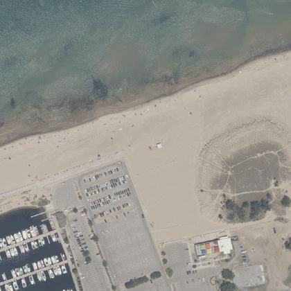
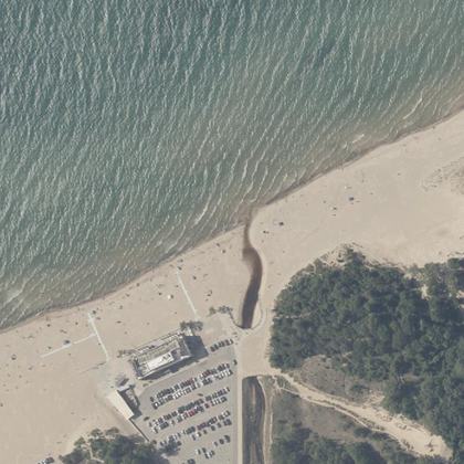
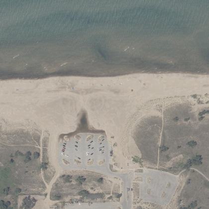
Place details from the public Google business listing. Beach shape, parking and facility positions from OpenStreetMap (ODbL). Aerial imagery is public-domain USGS NAIP. Tide comes from NOAA, and weather and water from Open-Meteo. Map drawings are redrawn from that aerial imagery by an image model. Markers, distances and every fact on this page come from OpenStreetMap and counted reviews, never from a drawing. Review text is never republished.
