Right Beaches › Connecticut
Connecticut beaches
118 beaches, with the parking, the walk to the water and the tide for each one.
Good places to start
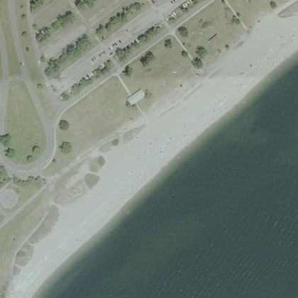
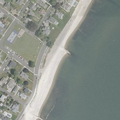
Lists for a particular day
Park almost on the sand
Beaches where parking is free
Calm water and bathrooms nearby
All beaches
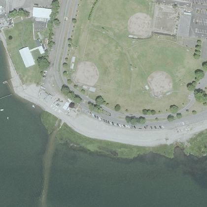 Calf Pasture BeachNorwalk · water 40 ft · parking 90 ft
- Hammonasset Beachwater 100 ft · parking 275 yd
- Sherwood BeachWestport · water 100 ft · parking 340 ft
- Woodmont BeachMilford · water 125 yd · parking 100 ft
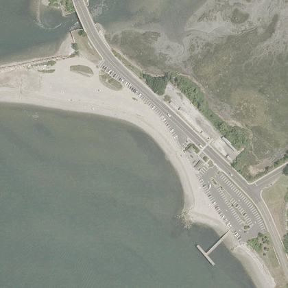 Gulf BeachMilford · water 50 ft · parking 30 ft
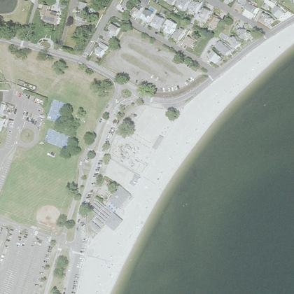 Compo BeachWestport · water 125 yd · parking 150 ft
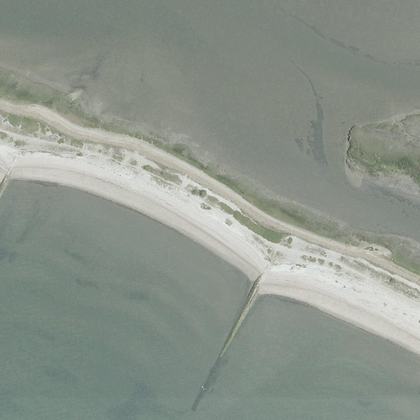 Long BeachStratford · water 320 ft · parking 425 yd
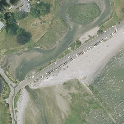 Southport Beachwater 190 ft · parking 210 ft
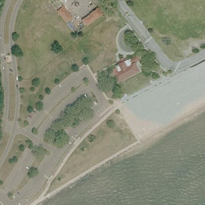 Seaside BeachBridgeport · water 290 ft · parking 125 yd
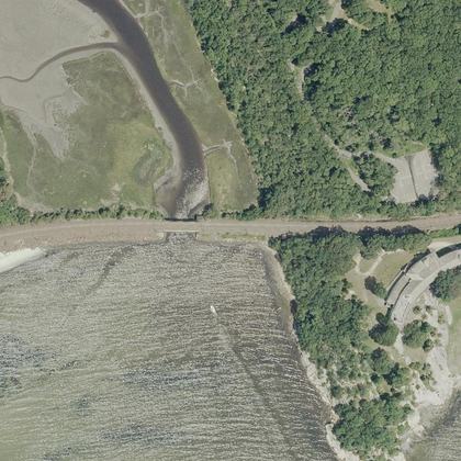 Rocky Neck State Park Bathing BeachEast Lyme · water 240 ft
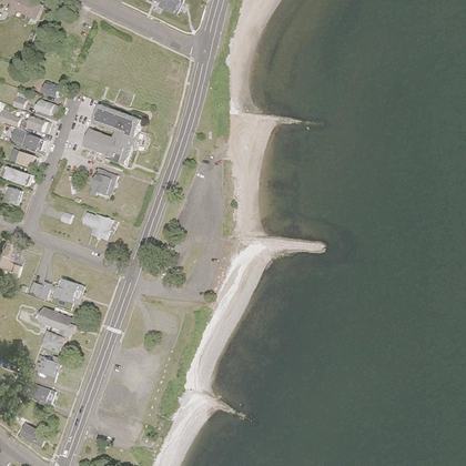 South St BeachWest Haven · water 190 ft · parking 150 yd
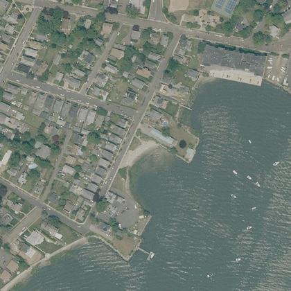 Seabright BeachBridgeport · on the shoreline · parking 200 ft
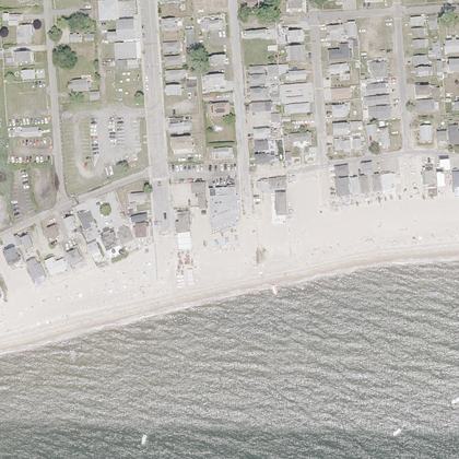 Soundview BeachOld Lyme · water 210 ft · parking 260 ft
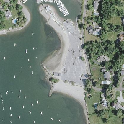 Pear Tree Point BeachDarien · on the shoreline · parking 225 yd
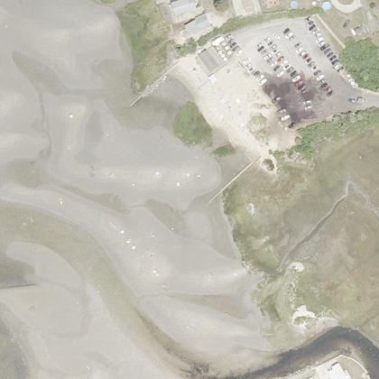 Harveys BeachOld Saybrook · water 90 ft · parking 475 yd
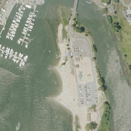 Clinton Town BeachClinton · water 80 ft · parking 50 ft
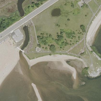 Sea Bluff BeachWest Haven · water 80 ft · parking 125 yd
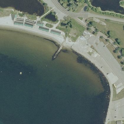 Avery Point BeachGroton · water 50 ft · parking 220 ft
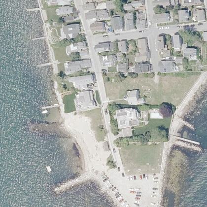 Dubois BeachStonington · water 40 ft · parking 270 ft
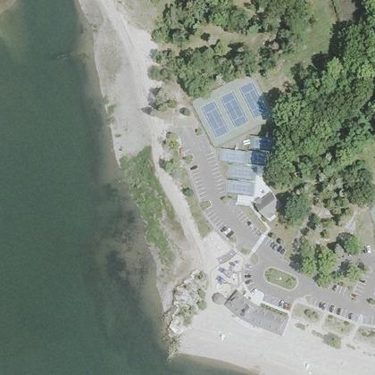 Weed BeachDarien · water 230 ft · parking 150 yd
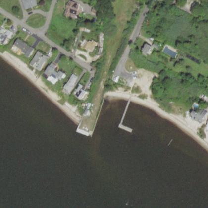 Miramar BeachEast Patchogue · water 240 ft
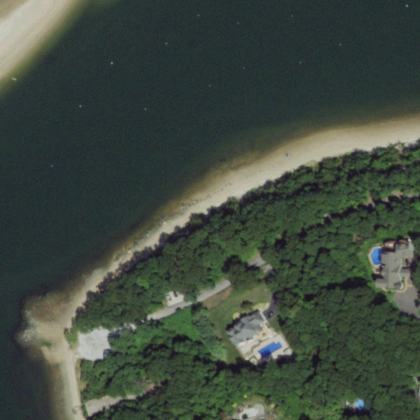 McAllister County Park - Port Jeff Harbor Beach -Port Jefferson · water 210 ft
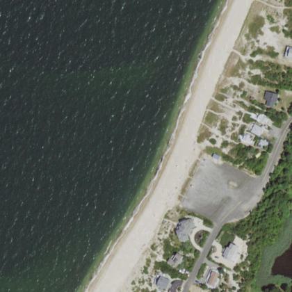 McCabe's BeachSouthold · water 160 ft
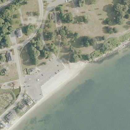 McCook's BeachEast Lyme · water 40 ft · parking 90 ft
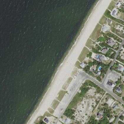 Kenney's BeachSouthold · water 130 ft
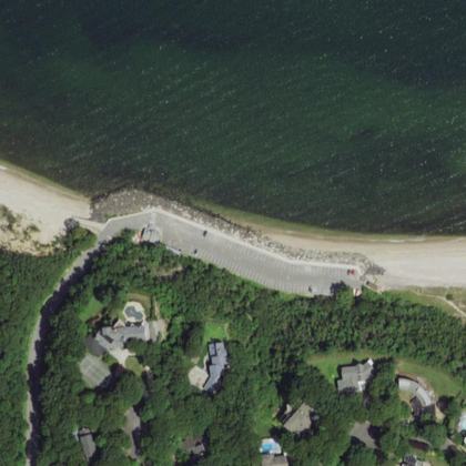 Port Jefferson East BeachPort Jefferson · water 140 ft · parking 250 yd
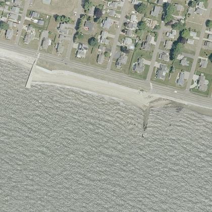 Knollwood BeachOld Saybrook · water 260 ft
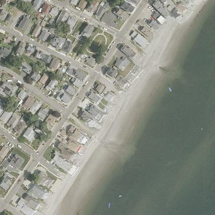 Wildemere BeachMilford · water 150 yd · parking 550 yd
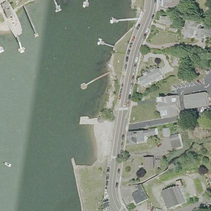 Stony Creek BeachBranford · on the shoreline · parking 425 yd
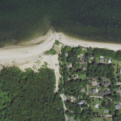 Tides BeachRocky Point · water 275 yd
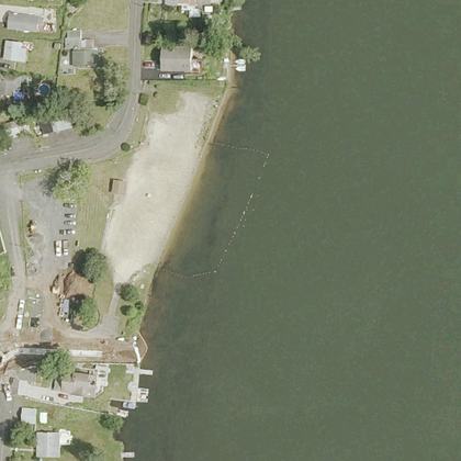 Lake Beseck BeachMiddlefield · water 40 ft · parking 100 ft
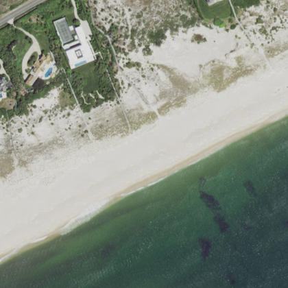 Dune BeachSouthampton · water 150 yd · parking 225 yd
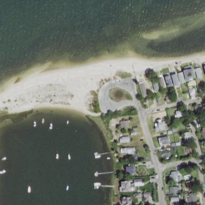 Circle BeachSag Harbor · water 180 ft
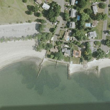 Cummings Park BeachStamford · water 30 ft · parking 125 yd
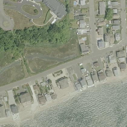 Silver Sands BeachEast Haven · water 50 ft · parking 400 yd
- Hawthorne BeachGreenwich · water 90 ft
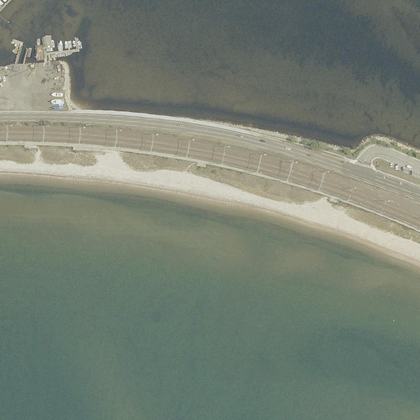 Niantic BeachEast Lyme · water 70 ft · parking 200 yd
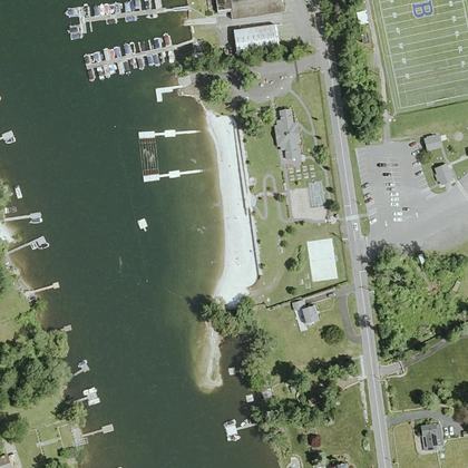 Brookfield Town BeachBrookfield · water 125 yd
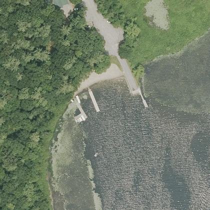 Litchfield Town BeachLitchfield · water 160 ft
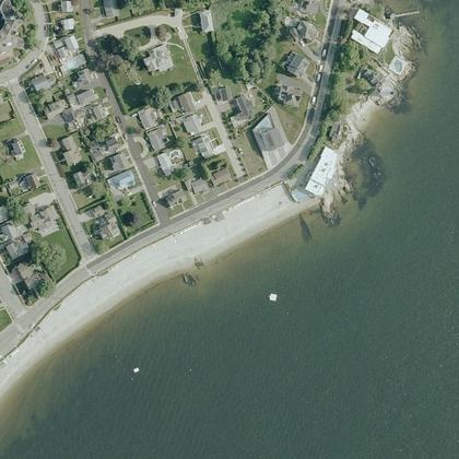 Pequot Point BeachNew London · water 100 ft
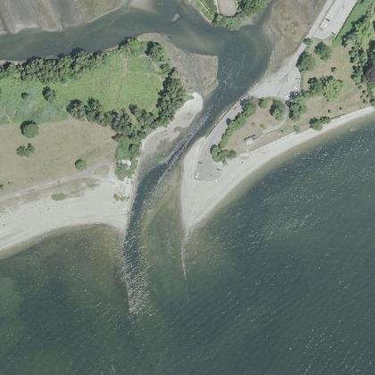 Burying Hill BeachWestport · water 70 ft · parking 60 ft
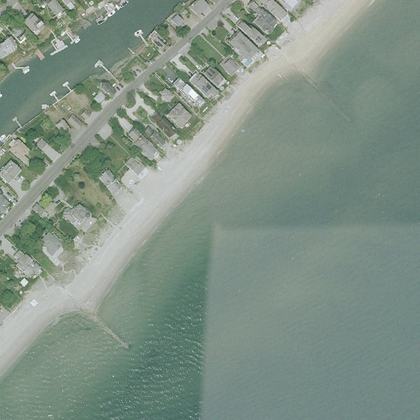 Fairfield BeachFairfield · water 50 ft · parking 525 yd
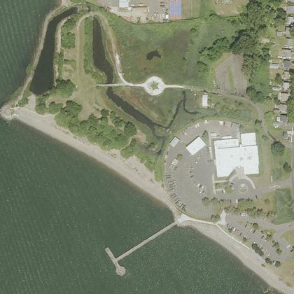 Nathan Hale BeachNew Haven · on the shoreline · parking 210 ft
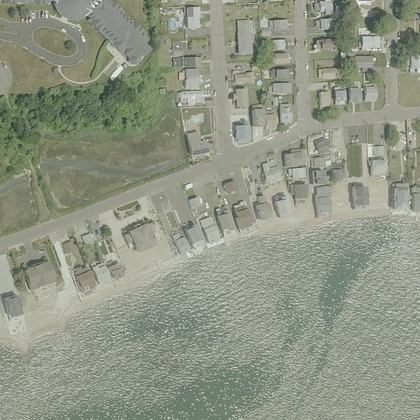 Cosey BeachEast Haven · water 330 ft · parking 350 yd
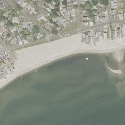 Bayview BeachMilford · water 140 ft
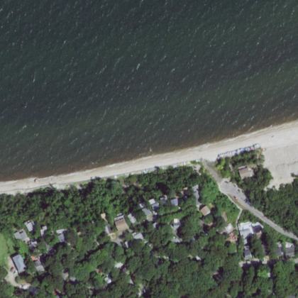 Woodcliff Circle/BeachCalverton · water 150 yd
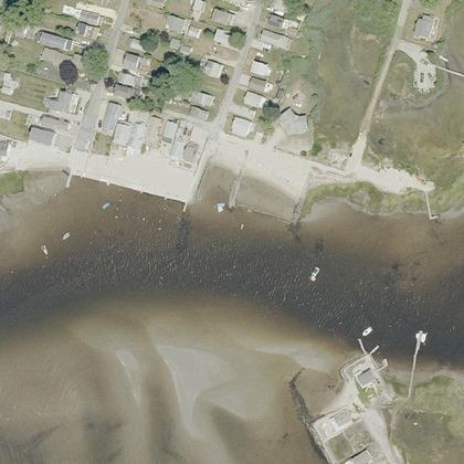 Cove BeachOld Saybrook · water 120 ft
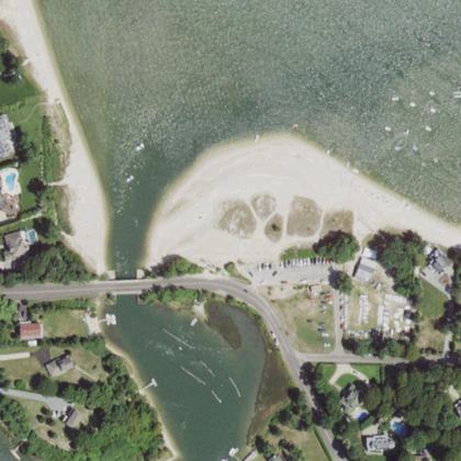 Goose Creek BeachSouthold · water 310 ft
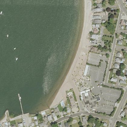 Morris Beachwater 30 ft · parking 150 ft
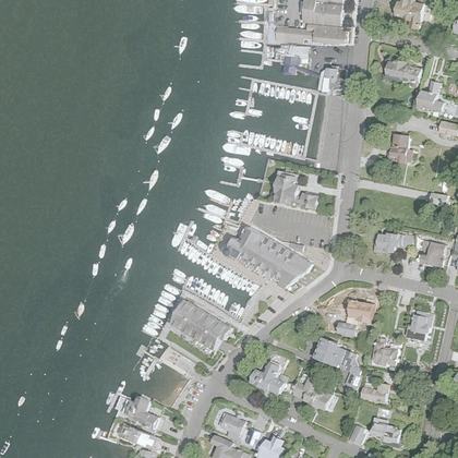 Community BeachNorwalk · on the shoreline · parking 320 ft
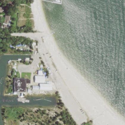 Cedar Beach ParkSouthold · water 230 ft
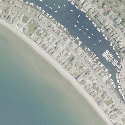 Groton Long Point Main BeachGroton · water 60 ft · parking 175 yd
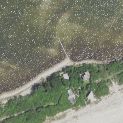 Barrett Beach ParkFire Island Pines · water 320 ft
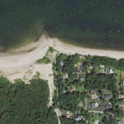 Hagerman Landing BeachRocky Point · water 100 ft
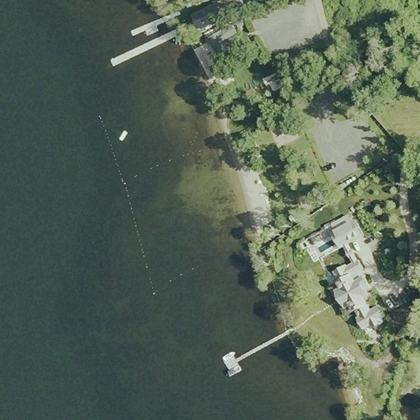 Warren Town BeachWarren · water 40 ft · parking 120 ft
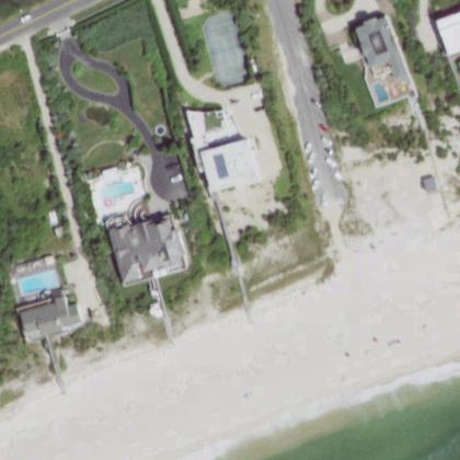 Dolphin BeachEast Quogue · water 125 yd
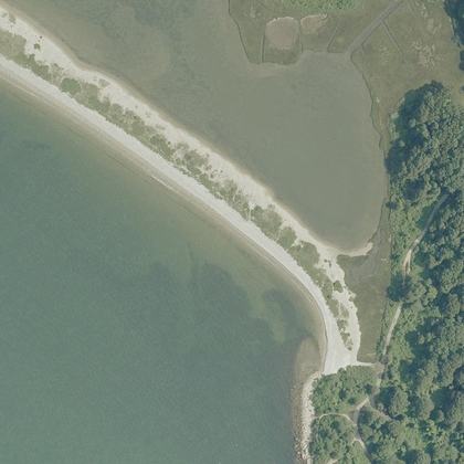 Bluff Point BeachGroton · water 120 ft
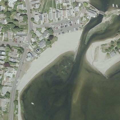 Old Mill BeachWestport · water 60 ft · parking 90 ft
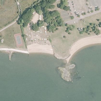 Garvan Point BeachMadison · water 70 ft · parking 290 ft
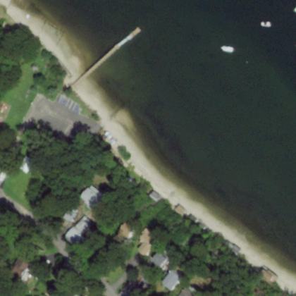 Poquott Beach FrontSetauket- East Setauket · water 120 ft
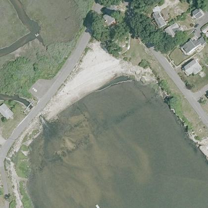 Barbara Pine Memorial BeachGuilford · water 140 ft
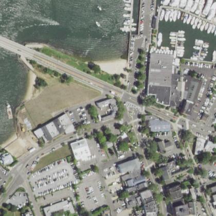 Windmill BeachSag Harbor · on the shoreline · parking 250 ft
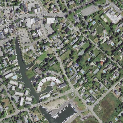 Village of Westhampton Beach - Village GreenWesthampton Beach · water 550 yd · parking 200 ft
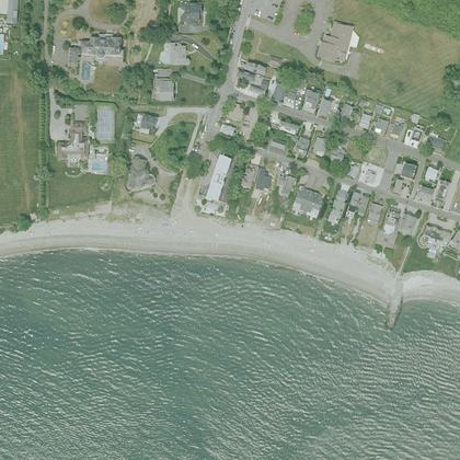 South Pine Creek BeachFairfield · on the shoreline
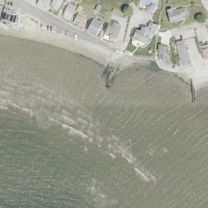 Middle BeachWestbrook · water 50 ft · parking 450 yd
- Squires BeachHampton Bays · water 80 ft
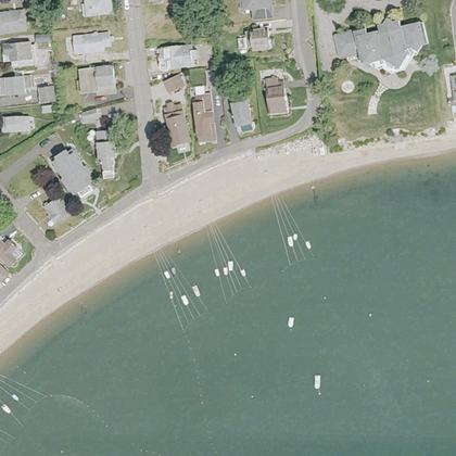 Hotchkiss Grove BeachBranford · water 40 ft
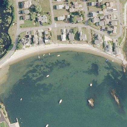 Giants Neck BeachEast Lyme · water 50 ft
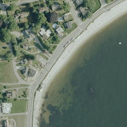 Osprey BeachNew London · water 60 ft · parking 600 yd
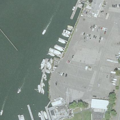 St John BeachNorwalk · water 220 ft · parking 220 ft
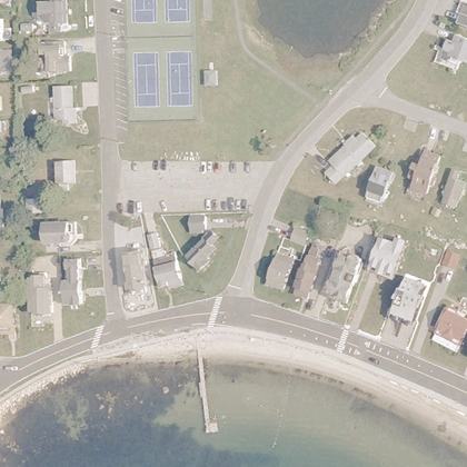 Groton Long Point South BeachGroton · water 90 ft · parking 300 ft
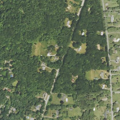 Bethlehem town beachBethlehem · water 1.1 miles · parking 375 yd
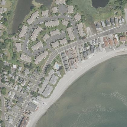 Burwell BeachMilford · water 80 ft · parking 175 yd
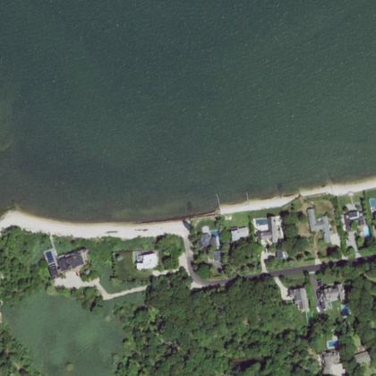 Beach AccessSag Harbor · water 90 ft
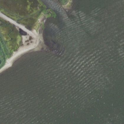 Jefferson Drive BeachMastic Beach · water 50 ft
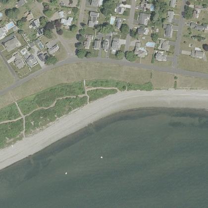 Russian BeachStratford · water 80 ft
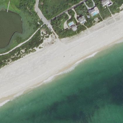 Fowlers BeachSouthampton · water 290 ft
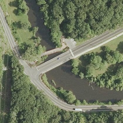 Dossin Park BeachMeriden · water 110 ft · parking 70 ft
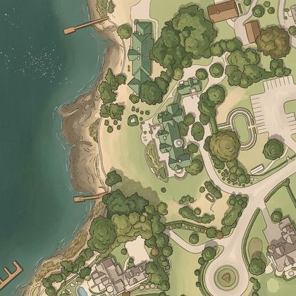 Harbor Point BeachGreenwich · on the shoreline
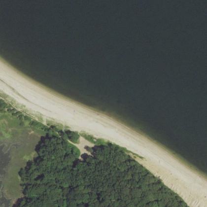 Fisherman’s BeachLloyd Harbor · water 240 ft · parking 30 ft
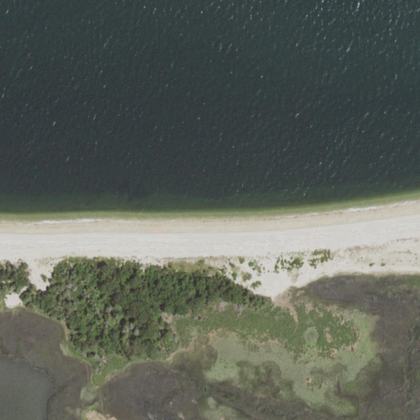 Flax Pond BeachSetauket- East Setauket · water 140 ft · parking 575 yd
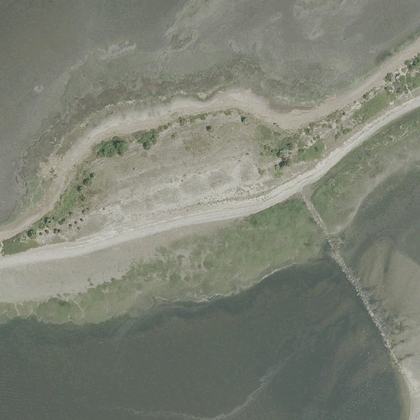 Milford Point Unitwater 150 ft · parking 575 yd
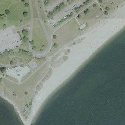 Alvord BeachWestport · water 120 ft · parking 125 yd
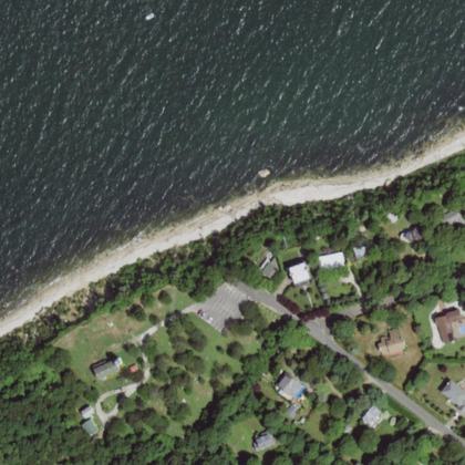 Horton’s Point BeachSouthold · water 200 ft · parking 120 ft
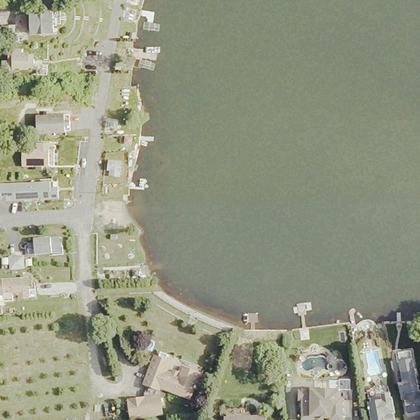 Mattatuck BeachWolcott · on the shoreline · parking 625 yd
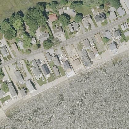 Clinton BeachClinton · water 60 ft · parking 475 yd
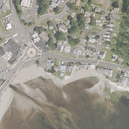 Oyster River BeachWest Haven · water 70 ft · parking 150 yd
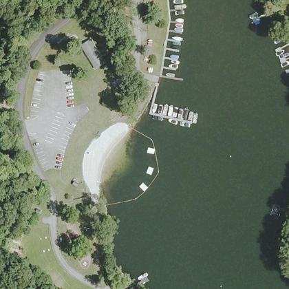 Sherman Town BeachSherman · water 30 ft · parking 80 ft
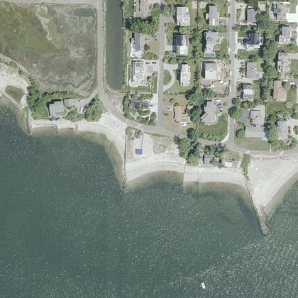 Canal BeachWestport · on the shoreline · parking 575 yd
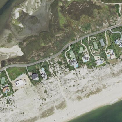 Road F BeachSouthampton · water 425 yd · parking 475 yd
- Baxter BeachNorwalk · water 70 ft · parking 400 yd
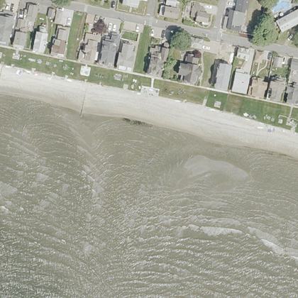 Stannard BeachWestbrook · water 50 ft · parking 250 yd
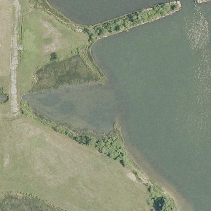 Groton BeachGroton · on the shoreline
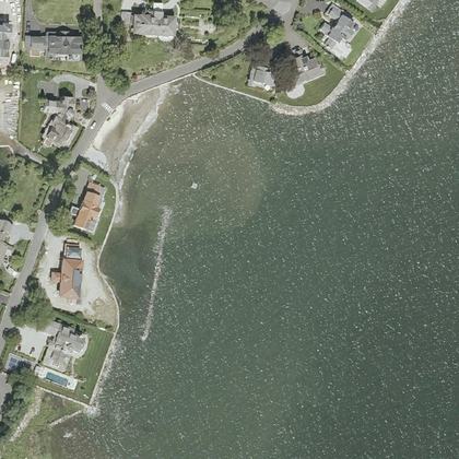 Uncas Point BeachGreenwich · water 140 ft · parking 625 yd
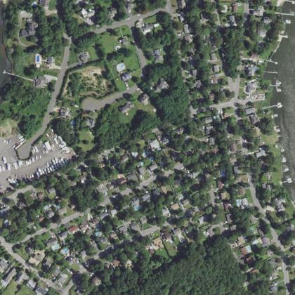 Crystal BeachMoriches · water 1.0 miles
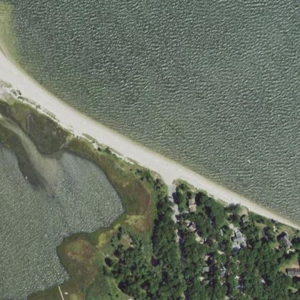 East Landing BeachHampton Bays · water 150 yd
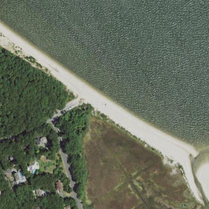 West Landing BeachHampton Bays · water 150 yd
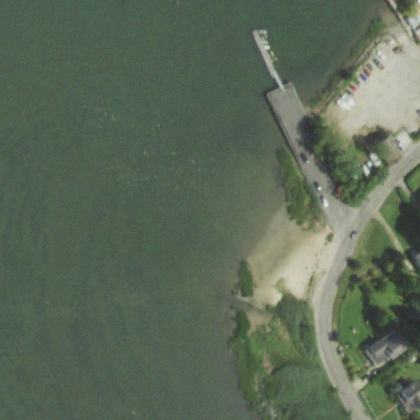 Brookhaven Town BeachSetauket- East Setauket · water 110 ft · parking 80 ft
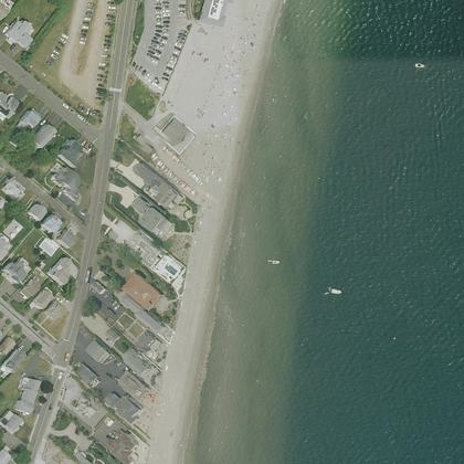 Fairfield BeachFairfield · water 100 ft · parking 125 yd
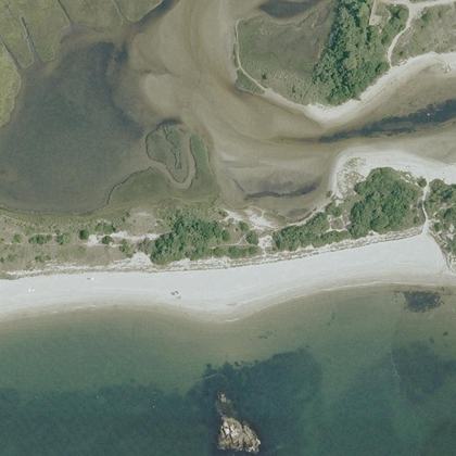 Town BeachWaterford · on the shoreline · parking 525 yd
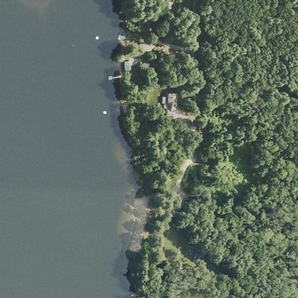 Woodstock Town BeachWoodstock · water 90 ft
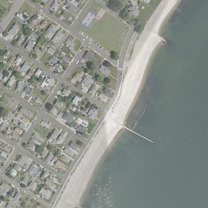 Public beachMilford · water 160 ft · parking 125 yd
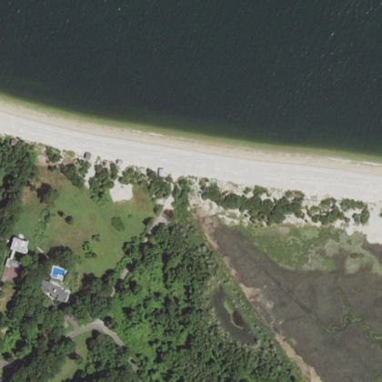 Cranes Neck BeachSetauket- East Setauket · on the shoreline
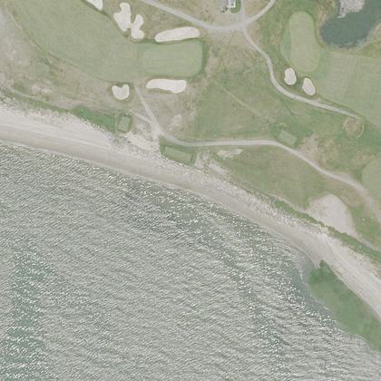 Sasco Hill BeachFairfield · water 320 ft · parking 250 yd
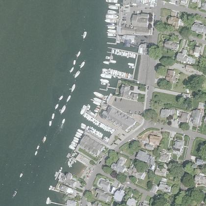 Rowayton Community BeachNorwalk · water 70 ft · parking 260 ft
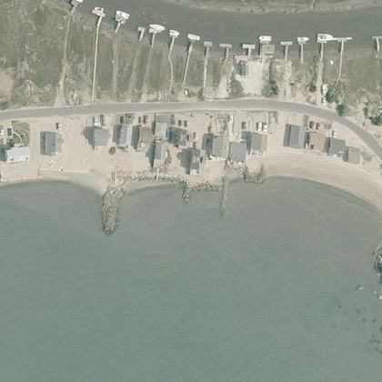 Circle BeachMadison · water 250 ft
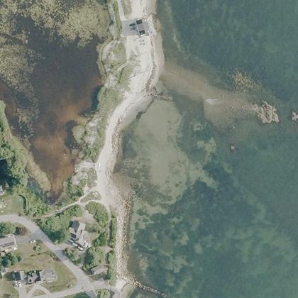 Big RocksNiantic · water 290 ft · parking 575 yd
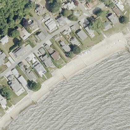 Chapman BeachWestbrook · water 80 ft
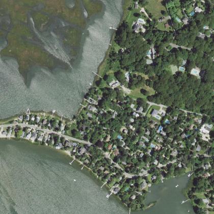 Crab BeachSouthampton · water 0.8 miles · parking 300 ft
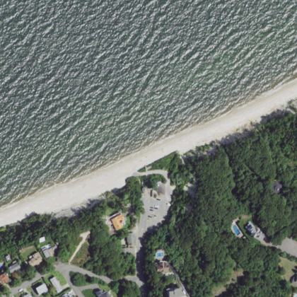 Reeves BeachRiverhead · water 220 ft
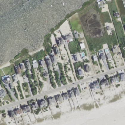 Atlantic Beach County ParkWesthampton Beach · water 175 yd
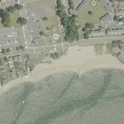 Cosey Beach ParkEast Haven · water 175 yd · parking 50 ft
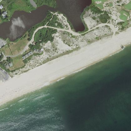 East Hampton Beachwater 375 yd · parking 125 yd
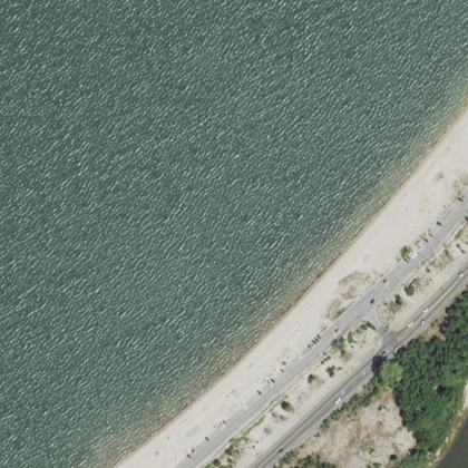 Foster Memorial Bathing Beachwater 250 yd · parking 300 yd
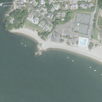 Weeburn Beachwater 90 ft · parking 130 ft
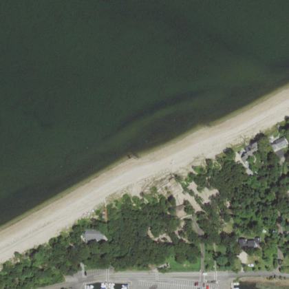 Schuberts Beachwater 300 ft · parking 175 yd
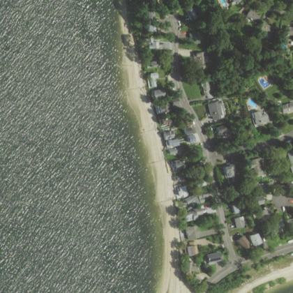 Valley Grove Beachon the shoreline · parking 350 yd
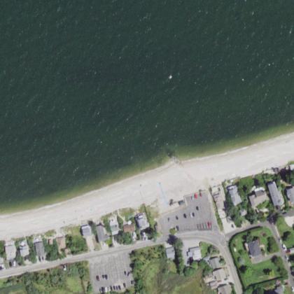 Wading River Landingwater 100 ft · parking 130 ft
All 118 beaches, by how many people rate them
| Beach | Town | Walk to water | Parking | Fee | Restrooms |
|---|---|---|---|---|---|
| Calf Pasture Beach | Norwalk | 40 ft | 90 ft | – | yes |
| Hammonasset Beach | 100 ft | 275 yd | paid | yes | |
| Sherwood Beach | Westport | 100 ft | 340 ft | paid | yes |
| Woodmont Beach | Milford | 125 yd | 100 ft | – | yes |
| Gulf Beach | Milford | 50 ft | 30 ft | paid | yes |
| Compo Beach | Westport | 125 yd | 150 ft | paid | yes |
| Long Beach | Stratford | 320 ft | 425 yd | paid | – |
| Southport Beach | 190 ft | 210 ft | paid | yes | |
| Seaside Beach | Bridgeport | 290 ft | 125 yd | paid | yes |
| Rocky Neck State Park Bathing Beach | East Lyme | 240 ft | – | – | yes |
| South St Beach | West Haven | 190 ft | 150 yd | – | – |
| Seabright Beach | Bridgeport | on the sand | 200 ft | – | – |
| Soundview Beach | Old Lyme | 210 ft | 260 ft | paid | – |
| Pear Tree Point Beach | Darien | on the sand | 225 yd | paid | yes |
| Harveys Beach | Old Saybrook | 90 ft | 475 yd | paid | yes |
| Clinton Town Beach | Clinton | 80 ft | 50 ft | paid | yes |
| Sea Bluff Beach | West Haven | 80 ft | 125 yd | paid | – |
| Avery Point Beach | Groton | 50 ft | 220 ft | – | – |
| Dubois Beach | Stonington | 40 ft | 270 ft | free | – |
| Weed Beach | Darien | 230 ft | 150 yd | paid | yes |
| Miramar Beach | East Patchogue | 240 ft | – | free | – |
| McAllister County Park - Port Jeff Harbor Beach - | Port Jefferson | 210 ft | – | – | – |
| McCabe's Beach | Southold | 160 ft | – | paid | yes |
| McCook's Beach | East Lyme | 40 ft | 90 ft | paid | yes |
| Kenney's Beach | Southold | 130 ft | – | – | – |
| Port Jefferson East Beach | Port Jefferson | 140 ft | 250 yd | – | yes |
| Knollwood Beach | Old Saybrook | 260 ft | – | – | – |
| Wildemere Beach | Milford | 150 yd | 550 yd | – | – |
| Stony Creek Beach | Branford | on the sand | 425 yd | free | yes |
| Tides Beach | Rocky Point | 275 yd | – | paid | – |
| Lake Beseck Beach | Middlefield | 40 ft | 100 ft | paid | – |
| Dune Beach | Southampton | 150 yd | 225 yd | paid | yes |
| Circle Beach | Sag Harbor | 180 ft | – | – | – |
| Cummings Park Beach | Stamford | 30 ft | 125 yd | paid | yes |
| Silver Sands Beach | East Haven | 50 ft | 400 yd | – | – |
| Hawthorne Beach | Greenwich | 90 ft | – | – | – |
| Niantic Beach | East Lyme | 70 ft | 200 yd | paid | – |
| Brookfield Town Beach | Brookfield | 125 yd | – | – | – |
| Litchfield Town Beach | Litchfield | 160 ft | – | – | – |
| Pequot Point Beach | New London | 100 ft | – | – | – |
| Burying Hill Beach | Westport | 70 ft | 60 ft | – | yes |
| Fairfield Beach | Fairfield | 50 ft | 525 yd | – | – |
| Nathan Hale Beach | New Haven | on the sand | 210 ft | – | – |
| Cosey Beach | East Haven | 330 ft | 350 yd | paid | – |
| Bayview Beach | Milford | 140 ft | – | – | – |
| Woodcliff Circle/Beach | Calverton | 150 yd | – | paid | – |
| Cove Beach | Old Saybrook | 120 ft | – | – | – |
| Goose Creek Beach | Southold | 310 ft | – | – | – |
| Morris Beach | 30 ft | 150 ft | – | – | |
| Community Beach | Norwalk | on the sand | 320 ft | – | – |
| Cedar Beach Park | Southold | 230 ft | – | – | – |
| Groton Long Point Main Beach | Groton | 60 ft | 175 yd | – | – |
| Barrett Beach Park | Fire Island Pines | 320 ft | – | – | – |
| Hagerman Landing Beach | Rocky Point | 100 ft | – | – | – |
| Warren Town Beach | Warren | 40 ft | 120 ft | – | – |
| Dolphin Beach | East Quogue | 125 yd | – | – | – |
| Bluff Point Beach | Groton | 120 ft | – | – | yes |
| Old Mill Beach | Westport | 60 ft | 90 ft | paid | – |
| Garvan Point Beach | Madison | 70 ft | 290 ft | – | yes |
| Poquott Beach Front | Setauket- East Setauket | 120 ft | – | paid | – |
| Barbara Pine Memorial Beach | Guilford | 140 ft | – | – | – |
| Windmill Beach | Sag Harbor | on the sand | 250 ft | – | – |
| Village of Westhampton Beach - Village Green | Westhampton Beach | 550 yd | 200 ft | – | yes |
| South Pine Creek Beach | Fairfield | on the sand | – | – | – |
| Middle Beach | Westbrook | 50 ft | 450 yd | – | – |
| Squires Beach | Hampton Bays | 80 ft | – | – | – |
| Hotchkiss Grove Beach | Branford | 40 ft | – | – | – |
| Giants Neck Beach | East Lyme | 50 ft | – | – | – |
| Osprey Beach | New London | 60 ft | 600 yd | – | – |
| St John Beach | Norwalk | 220 ft | 220 ft | – | yes |
| Groton Long Point South Beach | Groton | 90 ft | 300 ft | – | – |
| Bethlehem town beach | Bethlehem | 1.1 miles | 375 yd | – | – |
| Burwell Beach | Milford | 80 ft | 175 yd | – | – |
| Beach Access | Sag Harbor | 90 ft | – | – | – |
| Jefferson Drive Beach | Mastic Beach | 50 ft | – | – | – |
| Russian Beach | Stratford | 80 ft | – | – | – |
| Fowlers Beach | Southampton | 290 ft | – | – | – |
| Dossin Park Beach | Meriden | 110 ft | 70 ft | – | – |
| Harbor Point Beach | Greenwich | on the sand | – | – | – |
| Fisherman’s Beach | Lloyd Harbor | 240 ft | 30 ft | – | – |
| Flax Pond Beach | Setauket- East Setauket | 140 ft | 575 yd | – | – |
| Milford Point Unit | 150 ft | 575 yd | – | – | |
| Alvord Beach | Westport | 120 ft | 125 yd | – | yes |
| Horton’s Point Beach | Southold | 200 ft | 120 ft | paid | – |
| Mattatuck Beach | Wolcott | on the sand | 625 yd | – | – |
| Clinton Beach | Clinton | 60 ft | 475 yd | – | – |
| Oyster River Beach | West Haven | 70 ft | 150 yd | – | – |
| Sherman Town Beach | Sherman | 30 ft | 80 ft | – | yes |
| Canal Beach | Westport | on the sand | 575 yd | paid | – |
| Road F Beach | Southampton | 425 yd | 475 yd | – | – |
| Baxter Beach | Norwalk | 70 ft | 400 yd | – | – |
| Stannard Beach | Westbrook | 50 ft | 250 yd | – | – |
| Groton Beach | Groton | on the sand | – | – | yes |
| Uncas Point Beach | Greenwich | 140 ft | 625 yd | – | yes |
| Crystal Beach | Moriches | 1.0 miles | – | – | – |
| East Landing Beach | Hampton Bays | 150 yd | – | – | – |
| West Landing Beach | Hampton Bays | 150 yd | – | paid | – |
| Brookhaven Town Beach | Setauket- East Setauket | 110 ft | 80 ft | – | – |
| Fairfield Beach | Fairfield | 100 ft | 125 yd | – | yes |
| Town Beach | Waterford | on the sand | 525 yd | – | yes |
| Woodstock Town Beach | Woodstock | 90 ft | – | – | – |
| Public beach | Milford | 160 ft | 125 yd | – | yes |
| Cranes Neck Beach | Setauket- East Setauket | on the sand | – | – | – |
| Sasco Hill Beach | Fairfield | 320 ft | 250 yd | – | yes |
| Rowayton Community Beach | Norwalk | 70 ft | 260 ft | – | – |
| Circle Beach | Madison | 250 ft | – | – | – |
| Big Rocks | Niantic | 290 ft | 575 yd | – | – |
| Chapman Beach | Westbrook | 80 ft | – | – | – |
| Crab Beach | Southampton | 0.8 miles | 300 ft | – | – |
| Reeves Beach | Riverhead | 220 ft | – | – | – |
| Atlantic Beach County Park | Westhampton Beach | 175 yd | – | – | – |
| Cosey Beach Park | East Haven | 175 yd | 50 ft | – | – |
| East Hampton Beach | 375 yd | 125 yd | – | – | |
| Foster Memorial Bathing Beach | 250 yd | 300 yd | – | – | |
| Weeburn Beach | 90 ft | 130 ft | – | – | |
| Schuberts Beach | 300 ft | 175 yd | – | – | |
| Valley Grove Beach | on the sand | 350 yd | – | yes | |
| Wading River Landing | 100 ft | 130 ft | – | yes |
Walk and parking distances are measured on OpenStreetMap. Fee and restrooms come from counted visitor reviews and mapped facilities. A dash means we have no evidence either way, not that the answer is no.
Common questions
Which Connecticut beach has the shortest walk from the car?
Do you have to pay to park at Connecticut beaches?
Which beaches have restrooms?
How current is this?
Where this comes from
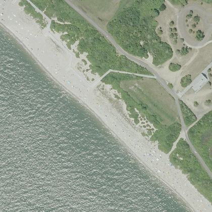
Place details from the public Google business listing. Beach shape, parking and facility positions from OpenStreetMap (ODbL). Aerial imagery is public-domain USGS NAIP. Tide comes from NOAA, and weather and water from Open-Meteo. Map drawings are redrawn from that aerial imagery by an image model. Markers, distances and every fact on this page come from OpenStreetMap and counted reviews, never from a drawing. Review text is never republished.
