Right Beaches › Puerto Rico › Yabucoa
Yabucoa Beach
4.3★ · 21 Google ratings · Yabucoa, Puerto Rico
✓ Short walk
At a glance
Parking
Not mapped
Access
Open around the clock
Walk
60 ft · under a minute
Water
86°F · modelled, no buoy nearby
Tide
1 ft range today
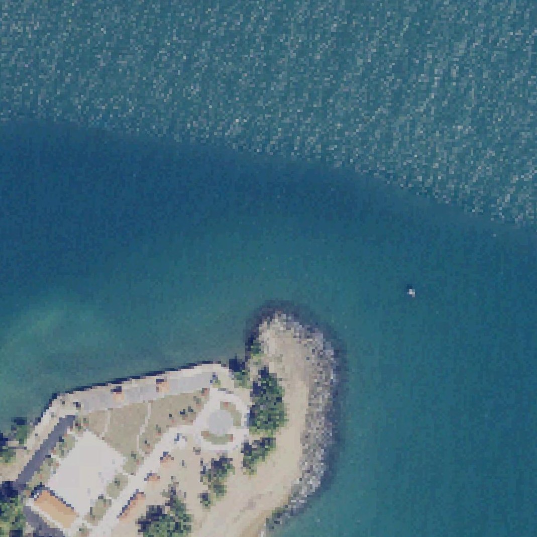
Map of Yabucoa Beach
Guide
Good to know
Ideal for meditation and relaxation
The beach offers a peaceful, uncrowded setting with scenic views suitable for quiet time in nature.
Visit on weekdays for quiet
Weekdays offer peaceful conditions, while weekends attract crowds with loud music and groups.
Park and walk to beach
No car access to the sand, so expect to park some distance away and walk to reach the water.
Check water conditions before swimming
One visitor reported the water was too dirty for bathing, though others found it clean and swimmable.
Bring your own food and drinks
No permanent food vendors operate at the beach, though one reviewer mentioned food service was available.
Conditions
How it is right now
Air
77°F · clear
Water
86°F · modelled, no buoy nearby
Waves
2.7 ft · 5 s apart
Wind
3 mph from the ENE
Shelter
Onshore · wind blowing straight in off the water
UV index
9 peak today
| Time | Tide | Height |
|---|---|---|
| 09:47 | Low tide | ↓ |
| 20:23 | High tide | ↑ |
Last updated Sep 7, 9:53 AM.
Practical
Plan your visit
📍 3529+5F7, PR-9914, Yabucoa, 00767, Puerto Rico
🌊 Water 60 ft away, under a minute walk
Nearby
Other beaches close by
1.1 miles away
1.7 miles away
2.3 miles away
2.4 miles away
2.5 miles away
2.7 miles away
Find another
Not the right one?
Find another beach that works for today.
Where are you starting from?
More options
What matters today?
Contribute
Been here recently?
Help other visitors with fresh information about Yabucoa Beach. Everything below is optional except the last box.
Questions
Common questions
How far is the walk to the water at Yabucoa Beach?
60 ft in a straight line from the listing to the mapped shoreline, under a minute. Soft sand and dune make the real walk longer than the straight line.
Does Yabucoa Beach have restrooms?
No restrooms are mapped within 600 m on OpenStreetMap. That means nobody has mapped any, which is not the same as there being none.
Measured from OpenStreetMap, public aerial imagery and live conditions data, and counted from visitor reviews. Every source, in full.
