Right Beaches › Wisconsin › Superior
Wisconsin Point
4.8★ · 59 Google ratings · Superior, Wisconsin
✓ Restrooms
At a glance
Parking
Reported adequate
Walk
325 yd · 4 min
Restrooms
Yes
Water
63°F
Sand
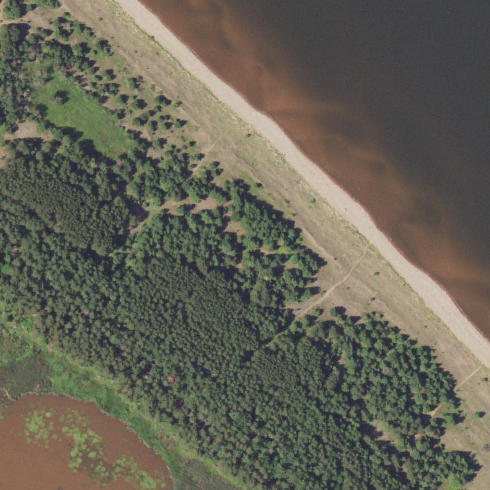
130 ft from the water to the back
Water quality
2 of 15 samples over the EPA limit · 2025
Map of Wisconsin Point
Guide
Good to know
Come for bonfire and gathering events
Fires are legal here when set 150 feet from the treeline, making it popular for group celebrations.
Visit on a weekday morning for solitude
Weekday mornings offer quiet stretches of beach with few other visitors, ideal for long walks.
Litter reported
Visitors mention rubbish on the sand.Mentioned by 2 visitors · 2016–2026
Park in high-traffic areas only
Multiple visitors reported car break-ins at less-populated lots, so choose spots near the main facilities.
Bring bug spray for evening visits
Biting flies and mosquitoes become a nuisance as dusk approaches, particularly in warmer months.
Conditions
How it is right now
Air
71°F · clear
Water
63°F
Wind
3 mph from the SW
UV index
5 peak today
Last updated Aug 25, 5:02 PM.
Practical
Plan your visit
📍 Wisconsin Point Rd, Superior, WI 54880
🌊 Water 325 yd away, about 4 min walk
Contribute
Been here recently?
Help other visitors with fresh information about Wisconsin Point. Everything below is optional except the last box.
Questions
Common questions
How far is the walk to the water at Wisconsin Point?
325 yd in a straight line from the listing to the mapped shoreline, about 4 min. Soft sand and dune make the real walk longer than the straight line.
Does Wisconsin Point have restrooms?
No restrooms are mapped within 600 m on OpenStreetMap. That means nobody has mapped any, which is not the same as there being none.
Measured from OpenStreetMap, public aerial imagery and live conditions data, and counted from visitor reviews. Every source, in full.
