South Beach
No visitor reviews yet, Massachusetts
✓ Parking✓ Short walk✓ Restrooms✓ Showers
At a glance
Parking
On-site lot · 175 yd away
Walk
100 ft · under a minute
Restrooms
Yes · 125 yd away
Length
1.5 miles of shoreline
Sand
300 yd from the water to the back
Map of South Beach
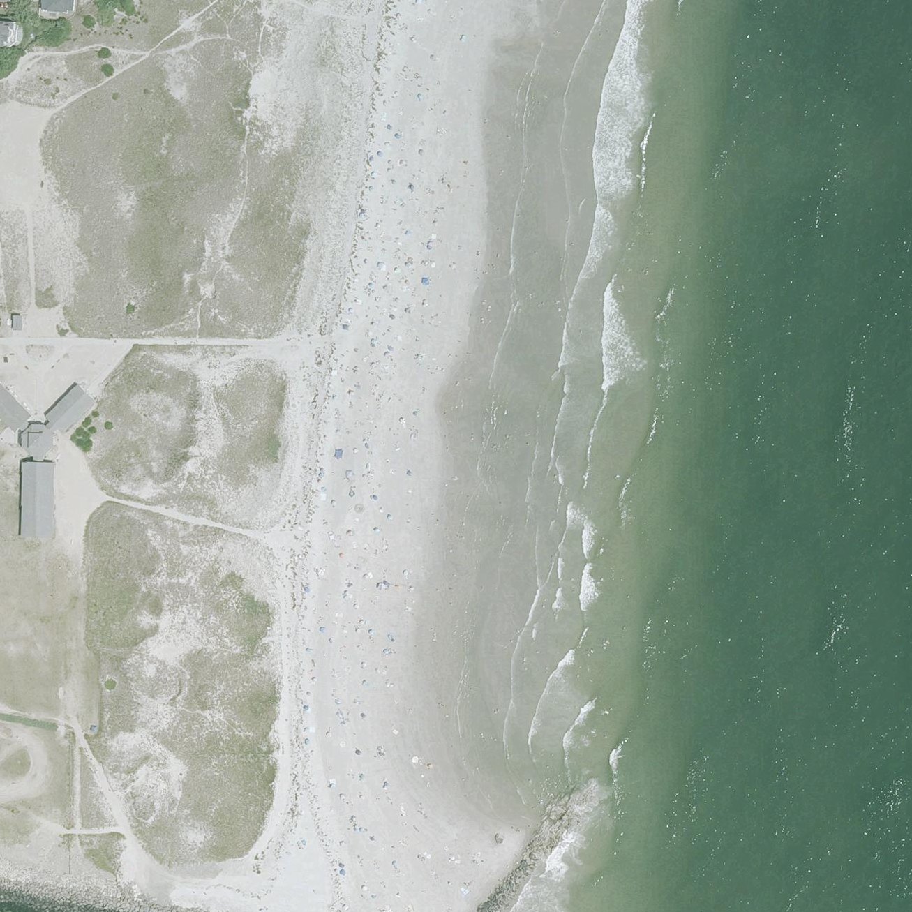
1
2
1Restrooms125 yd from the listing2Showers125 yd from the listing
Guide
Good to know
Parking fee
Parking Fees: $15 per passenger vehicle. NH residents age 65 and over $0. nhstateparks.org, 2026/09
Who may park
Anyone may park, for a fee nhstateparks.org, 2026/09
Dogs
Pets are not allowed on the beach from May 1 to September 30. Pets are allowed on the beach from October 1 to April 30. nhstateparks.org, 2026/09
Season
Open: Weekends 5/9, full-time 5/16, closed TBD nhstateparks.org, 2026/09
Practical
Plan your visit
🅿 Parking 175 yd from the listing
🌊 Water 100 ft away, under a minute walk
🚽 Restrooms 125 yd away
Nearby
Other beaches close by
0.8 miles away
1.8 miles away
3.5 miles away
3.7 miles away
3.9 miles away
5.7 miles away
Find another
Not the right one?
Find another beach that works for today.
Where are you starting from?
More options
What matters today?
Contribute
Been here recently?
Help other visitors with fresh information about South Beach. Everything below is optional except the last box.
Questions
Common questions
Where do you park at South Beach?
The nearest mapped parking area is 175 yd from the listed location. Positions come from OpenStreetMap, not from review text.
How far is the walk to the water at South Beach?
100 ft in a straight line from the listing to the mapped shoreline, under a minute. Soft sand and dune make the real walk longer than the straight line.
Does South Beach have restrooms?
Restrooms are mapped 125 yd from the listing.
Measured from OpenStreetMap, public aerial imagery and live conditions data, and counted from visitor reviews. Every source, in full.
