Sandy Beach (Texas 76449)
4.8★ · 76 Google ratings, Texas
✓ Short walk✓ Kids reported✓ Restrooms
At a glance
Parking
Fills up early
Walk
120 ft · under a minute
Restrooms
Yes
Cost
Paid parking
Children
Reported good for young kids
Water quality
all 17 samples under the EPA limit · 2025
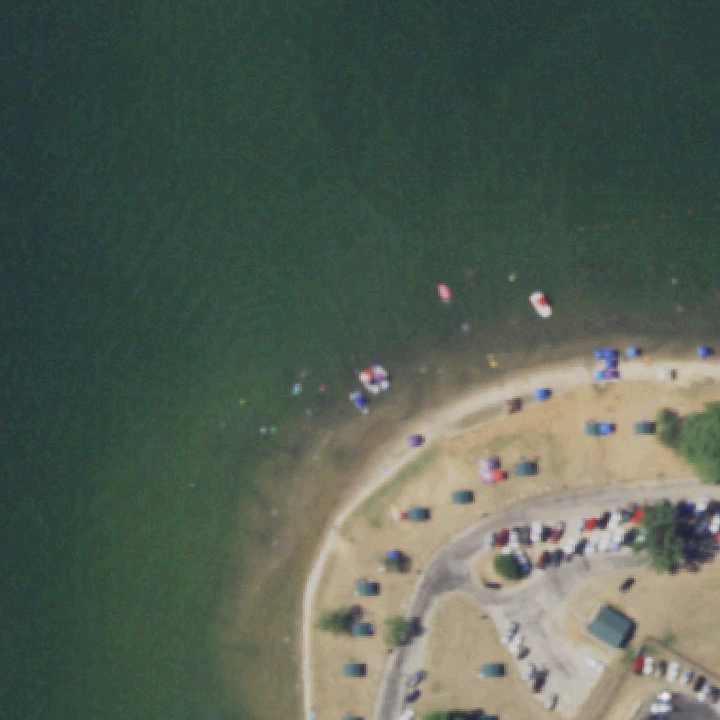
Map of Sandy Beach (Texas 76449)
Guide
Good to know
Anyone may park, for a fee
Reviewers report paid parking open to anyone.Reported by visitors
Bring grilling supplies
Each pavilion includes a grill, making this beach ideal for family cookouts rather than bring-your-own-food picnics.
Check water clarity in fall
One visitor reported noticeably clearer water during the fall season compared to other times of year.
Expect very shallow water
The lake is shallow enough that visitors describe standing a few feet deep and seeing the full view.
Reported good with little kids
Visitors often mention shallow or calm water. This is what reviewers report, not a safety assessment.Mentioned by 4 visitors · 2017–2026
Some shade is available
Visitors mention trees, cliffs or umbrellas to get out of the sun.Mentioned by 3 visitors · 2017–2026
Arrive early on weekends
The beach and parking fill quickly on warm days, especially if you want a pavilion or grilling spot.
Wear closed shoes always
Goat head stickers cover the grass and sand areas, causing discomfort without foot protection.
Conditions
How it is right now
Air
87°F · clear
Wind
4 mph from the SSW
UV index
7 peak today
Last updated Aug 25, 5:36 PM.
Practical
Plan your visit
Nearby
Other beaches close by
330 ft away
Find another
Not the right one?
Find another beach that works for today.
Where are you starting from?
More options
What matters today?
Contribute
Been here recently?
Help other visitors with fresh information about Sandy Beach (Texas 76449). Everything below is optional except the last box.
Questions
Common questions
How far is the walk to the water at Sandy Beach?
120 ft in a straight line from the listing to the mapped shoreline, under a minute. Soft sand and dune make the real walk longer than the straight line.
Does Sandy Beach have restrooms?
No restrooms are mapped within 600 m on OpenStreetMap. That means nobody has mapped any, which is not the same as there being none.
Measured from OpenStreetMap, public aerial imagery and live conditions data, and counted from visitor reviews. Every source, in full.
