Right Beaches › California › Moss Landing
Salinas River State Beach
4.5★ · 936 Google ratings · Moss Landing, California
✓ Parking✓ Free
At a glance
Parking
110 ft away · free
Access
5:45am to 9pm
Walk
400 yd · 5 min
Cost
Free
Water
62°F
Tide
3 ft range today
Sand
250 yd from the water to the back
Crowds
Quietest Mon 8am
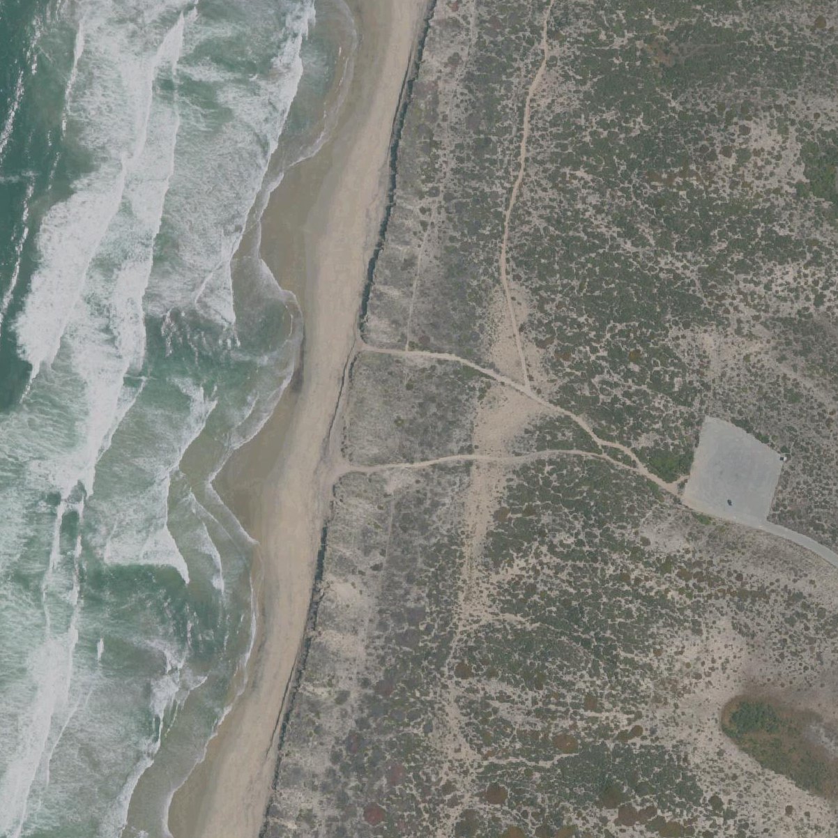
Map of Salinas River State Beach
1
1Parking110 ft from the listing
Guide
Good to know
Who may park
Free to anyone parks.ca.gov, 2026/09
Opening hours
8 a.m. to Sunset parks.ca.gov, 2026/09
Dogs
DOGS are not permitted on the beach or dunes. On-leash dogs are allowed on the trail adjacent to the wetland that runs between the Potrero Road and Sandholdt Road parking lots. parks.ca.gov, 2026/09
Free parking reported
Visitors report no charge to park here.Mentioned by 14 visitors · 2015–2026
Go for sunset views and photography
The west-facing beach offers breathtaking sunset views over Monterey Bay with minimal crowds to interrupt your experience.
Visit for solitude and wildlife
This uncrowded beach offers long walks, sea otters, seals, dolphins, and abundant birdlife without the crowds of popular beaches.
Expect a sandy trudge to shore
The walk over loose, dry dunes to reach the beach is steep and tiring, especially challenging for young children.
Avoid rainy season with low-clearance cars
December through March the parking area and trails become muddy, making it impassable for two-wheel drive sedans.
Bring a jacket for cool ocean breezes
Even on sunny days, the fresh ocean wind keeps temperatures cool, requiring layers year-round.
Conditions
How it is right now
Air
63°F · overcast
Water
62°F
Waves
4.0 ft · 10 s apart
Wind
5 mph from the W
Shelter
Onshore · wind blowing straight in off the water
UV index
7 peak today
| Time | Tide | Height |
|---|---|---|
| 06:37 | High tide | ↑ |
| 09:26 | Low tide | ↓ |
| 16:23 | High tide | ↑ |
Last updated Sep 4, 5:31 AM.
Crowds
When it gets busy
| 8a | 9a | 10a | 11a | 12p | 1p | 2p | 3p | 4p | 5p | 6p | 7p | |
|---|---|---|---|---|---|---|---|---|---|---|---|---|
| Mo | ||||||||||||
| Tu | ||||||||||||
| We | ||||||||||||
| Th | ||||||||||||
| Fr | ||||||||||||
| Sa | ||||||||||||
| Su |
QuietBusy
Practical
Plan your visit
📍 Moss Landing, CA 95039
🅿 Parking 110 ft from the listing
🌊 Water 400 yd away, about 5 min walk
Nearby
Other beaches close by
2.1 miles away · shorter walk
2.7 miles away · shorter walk
4.7 miles away · shorter walk
5.5 miles away · shorter walk
6.2 miles away · shorter walk
6.5 miles away · shorter walk
Find another
Not the right one?
Find another beach that works for today.
Where are you starting from?
More options
What matters today?
Contribute
Been here recently?
Help other visitors with fresh information about Salinas River State Beach. Everything below is optional except the last box.
Questions
Common questions
Where do you park at Salinas River State Beach?
The nearest mapped parking area is 110 ft from the listed location. Positions come from OpenStreetMap, not from review text.
How far is the walk to the water at Salinas River State Beach?
400 yd in a straight line from the listing to the mapped shoreline, about 5 min. Soft sand and dune make the real walk longer than the straight line.
Does Salinas River State Beach have restrooms?
No restrooms are mapped within 600 m on OpenStreetMap. That means nobody has mapped any, which is not the same as there being none.
When is Salinas River State Beach least busy?
Google visit patterns put the quietest hour at Mon 8am and the busiest at Sun 3pm.
Measured from OpenStreetMap, public aerial imagery and live conditions data, and counted from visitor reviews. Every source, in full.
