Pyramid Rock Beach
4.1★ · 27 Google ratings, Hawaii
Map of Pyramid Rock Beach
Guide
Good to know
Opening hours
0700-1700 daily hawaii.usmc-mccs.org, 2026/09
Lifeguard
LIFEGUARD 1100-1730 hawaii.usmc-mccs.org, 2026/09
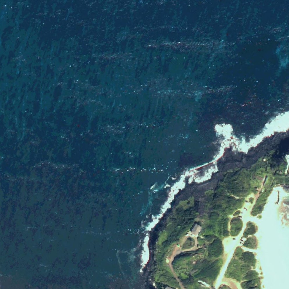
Beautiful sand with good snorkeling
The beach offers sandy areas and fish visible at the rocks for those willing to snorkel in the wave conditions.
Expect strong waves and rocky areas
Conditions feature rough waves and scattered rocks, making it better suited to surfers than swimmers or those seeking calm water.
Military ID required for entry
You must have active military affiliation or a military ID to access the beach.
Watch for jellyfish seasonally
One reviewer reported the beach covered with man o war jellyfish during their visit.
Plan for difficult base access
Reaching the beach requires driving across a military runway and navigating base entry procedures, which reviewers found not straightforward.
Conditions
How it is right now
Air
78°F · light drizzle
Water
82°F
Waves
6.6 ft · 8 s apart
Wind
10 mph from the E
Shelter
Cross-shore · wind running along the beach
UV index
8 peak today
| Time | Tide | Height |
|---|---|---|
| 05:25 | Low tide | ↓ |
| 13:04 | High tide | ↑ |
| 19:48 | Low tide | ↓ |
Last updated Sep 7, 6:25 AM.
Practical
Plan your visit
Nearby
Other beaches close by
0.6 miles away · shorter walk
1.7 miles away · shorter walk
4.2 miles away · shorter walk
4.4 miles away · shorter walk
4.4 miles away · shorter walk
4.8 miles away · shorter walk
Find another
Not the right one?
Find another beach that works for today.
Where are you starting from?
More options
What matters today?
Contribute
Been here recently?
Help other visitors with fresh information about Pyramid Rock Beach. Everything below is optional except the last box.
Questions
Common questions
How far is the walk to the water at Pyramid Rock Beach?
300 yd in a straight line from the listing to the mapped shoreline, about 4 min. Soft sand and dune make the real walk longer than the straight line.
Does Pyramid Rock Beach have restrooms?
No restrooms are mapped within 600 m on OpenStreetMap. That means nobody has mapped any, which is not the same as there being none.
Measured from OpenStreetMap, public aerial imagery and live conditions data, and counted from visitor reviews. Every source, in full.
