Right Beaches › Louisiana › Grand Isle
Grand Isle Beach
4.6★ · 287 Google ratings · Grand Isle, Louisiana
At a glance
Parking
Fills up early
Walk
200 yd · 3 min
Water
90°F
Tide
1 ft range today
Length
7.1 miles of shoreline
Sand
310 ft from the water to the back
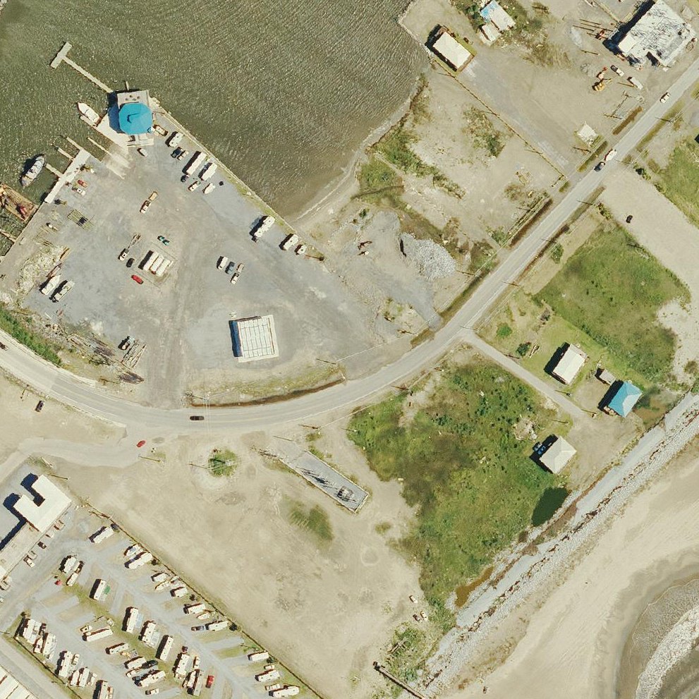
Map of Grand Isle Beach
Guide
Good to know
Anyone may park, for a fee
Reviewers report paid parking open to anyone.Reported by visitors
Expect brown water, not tropical blue
The water is murky and brown rather than Caribbean-colored, but remains swimmable and good for fishing.
Great for fishing and wildlife viewing
Reviewers regularly report catching crabs and fish from the beach and pier, plus frequent dolphin sightings.
Check for beach access before driving
Recent reconstruction has created large sand banks blocking views from the road, so confirm access is available.
Watch speed limits on island roads
Police enforce traffic laws strictly with citations reaching several hundred dollars for speeding violations.
Bring mosquito protection in summer
Summer mosquitoes can be intense enough to significantly impact your visit.
Conditions
How it is right now
Air
84°F · clear
Water
90°F
Waves
1.1 ft · 3 s apart
Wind
4 mph from the SW
Shelter
Cross-shore · wind running along the beach
UV index
8 peak today
| Time | Tide | Height |
|---|---|---|
| 04:29 | High tide | ↑ |
| 16:26 | Low tide | ↓ |
Last updated Aug 20, 5:48 AM.
Practical
Plan your visit
Nearby
Other beaches close by
2.7 miles away
3.5 miles away · shorter walk
4.9 miles away
Find another
Not the right one?
Find another beach that works for today.
Where are you starting from?
More options
What matters today?
Contribute
Been here recently?
Help other visitors with fresh information about Grand Isle Beach. Everything below is optional except the last box.
Questions
Common questions
How far is the walk to the water at Grand Isle Beach?
200 yd in a straight line from the listing to the mapped shoreline, about 3 min. Soft sand and dune make the real walk longer than the straight line.
Does Grand Isle Beach have restrooms?
No restrooms are mapped within 600 m on OpenStreetMap. That means nobody has mapped any, which is not the same as there being none.
Measured from OpenStreetMap, public aerial imagery and live conditions data, and counted from visitor reviews. Every source, in full.
