Right Beaches › Los Angeles › Malibu
El Matador State Beach
4.7★ · 6,128 Google ratings · Malibu, California
✓ Parking✓ Short walk✓ Restrooms
At a glance
Parking
On-site lot · 300 ft away · paid
Walk
90 ft · under a minute
Restrooms
Yes
Cost
Paid parking
Water
74°F · modelled, no buoy nearby
Length
850 yd of shoreline
Sand
270 ft from the water to the back
Water quality
Good · 3 of 97 samples over the EPA limit · 2025
Crowds
Quietest Tue 8am
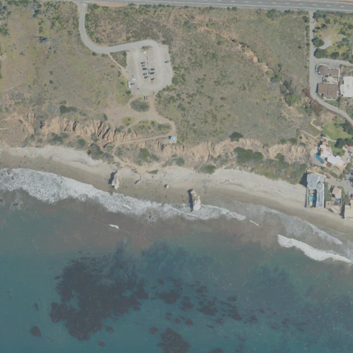
Map of El Matador State Beach
1
1Parking290 ft from the listing
Guide
Good to know
Parking fee
Vehicle Day Use: $10.00 Day Use Hourly: $3.00 parks.ca.gov, 2026/09
Who may park
Anyone may park, for a fee parks.ca.gov, 2026/09
Opening hours
Day-use parking: 8:00 AM - Sunset parks.ca.gov, 2026/09
Dogs
Are dogs allowed? No parks.ca.gov, 2026/09
Check tide times beforehand
At low tide, far more of the beach and rock formations are accessible for exploration.
Visit at sunset for photography
Golden hour light on the dramatic rock formations and sea caves creates cinematic images that reviewers consistently praise.
Arrive before 11am on weekends
The parking lot holds only 30-35 spaces and fills quickly, forcing late arrivals to park on the roadside.
Wear sturdy hiking shoes
The descent involves steep sandy trails and stairs without guardrails in sections, making ankle injuries a real risk.
Bring food and water
There are no restaurants within 30 minutes and no food vendors on site.
Conditions
How it is right now
Air
68°F · clear
Water
74°F · modelled, no buoy nearby
Waves
3.3 ft · 9 s apart
Wind
9 mph from the WNW
Shelter
Offshore · wind blowing off the land
UV index
7 peak today
| Time | Tide | Height |
|---|---|---|
| 15:24 | High tide | ↑ |
| 23:56 | Low tide | ↓ |
Last updated Sep 4, 4:33 AM.
Crowds
When it gets busy
| 8a | 9a | 10a | 11a | 12p | 1p | 2p | 3p | 4p | 5p | 6p | 7p | |
|---|---|---|---|---|---|---|---|---|---|---|---|---|
| Mo | ||||||||||||
| Tu | ||||||||||||
| We | ||||||||||||
| Th | ||||||||||||
| Fr | ||||||||||||
| Sa | ||||||||||||
| Su |
QuietBusy
Practical
Plan your visit
📍 32350 Pacific Coast Hwy, Malibu, CA 90265, United States
🅿 Parking 300 ft from the listing, El Matador Parking Lot
🌊 Water 90 ft away, under a minute walk
Nearby
Other beaches close by
150 yd away
725 yd away
0.5 miles away
0.7 miles away
0.7 miles away
1.0 miles away
Find another
Not the right one?
Find another beach that works for today.
Where are you starting from?
More options
What matters today?
Contribute
Been here recently?
Help other visitors with fresh information about El Matador State Beach. Everything below is optional except the last box.
Questions
Common questions
Where do you park at El Matador State Beach?
The nearest mapped parking area is 300 ft from the listed location. Positions come from OpenStreetMap, not from review text.
How far is the walk to the water at El Matador State Beach?
90 ft in a straight line from the listing to the mapped shoreline, under a minute. Soft sand and dune make the real walk longer than the straight line.
Does El Matador State Beach have restrooms?
No restrooms are mapped within 600 m on OpenStreetMap. That means nobody has mapped any, which is not the same as there being none.
When is El Matador State Beach least busy?
Google visit patterns put the quietest hour at Tue 8am and the busiest at Sat 4pm.
Measured from OpenStreetMap, public aerial imagery and live conditions data, and counted from visitor reviews. Every source, in full.
