Right Beaches › Tampa Bay › Tampa
Castor Beach
4.0★ · 139 Google ratings · Tampa, Florida
✓ Parking
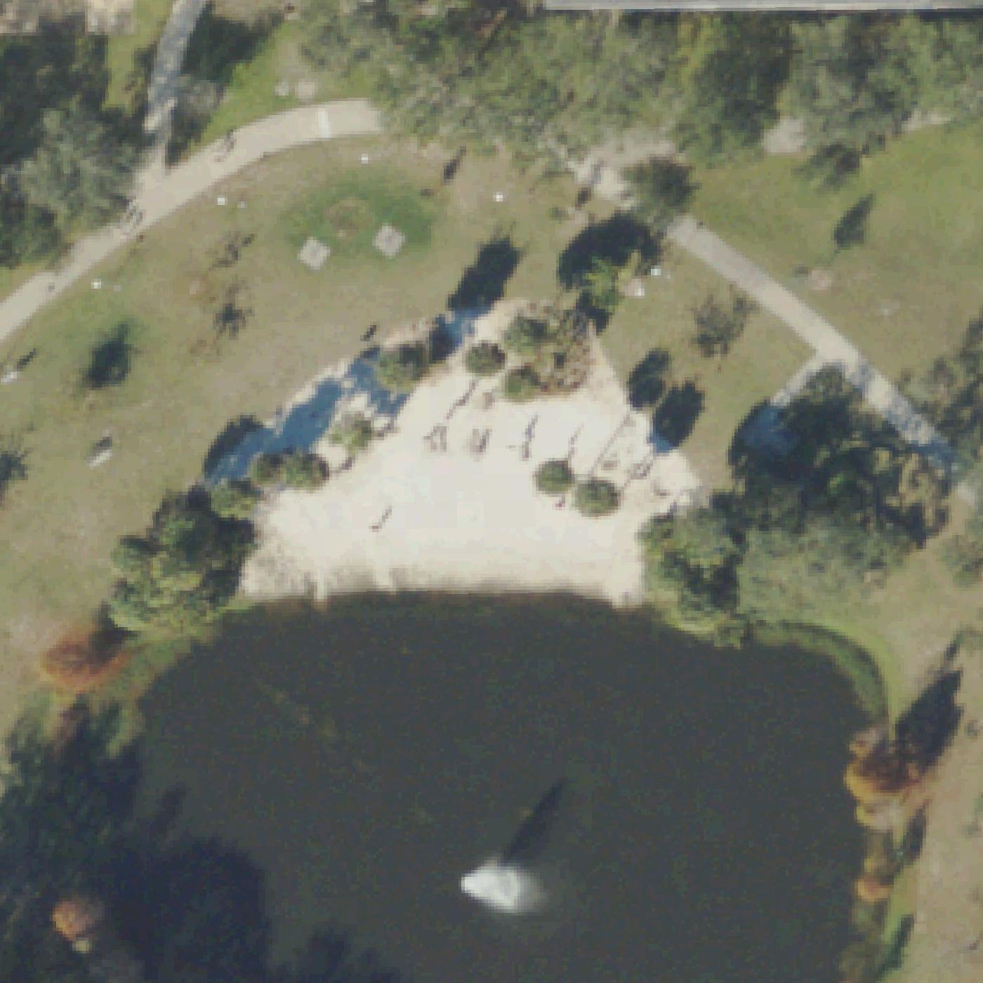
Map of Castor Beach
Guide
Good to know
Visit for quiet relaxation only
Castor Beach works well for reading, meditating, or taking a break between classes in a peaceful setting.
Some shade is available
Visitors mention trees, cliffs or umbrellas to get out of the sun.Mentioned by 2 visitors · 2016–2026
Expect a pond, not ocean beach
This is a small retention pond on the USF campus with a sandy area, not a saltwater beach.
Best during dusk or off-peak hours
Visit in late afternoon or evening when the area is most serene and least crowded.
Bring mosquito repellent
Reviewers report mosquitoes are a problem at this pond location.
Conditions
How it is right now
Air
78°F · overcast
Water
88°F
Waves
0.1 ft · 2 s apart
Wind
5 mph from the E
UV index
8 peak today
| Time | Tide | Height |
|---|---|---|
| 06:44 | High tide | ↑ |
| 16:21 | Low tide | ↓ |
Last updated Sep 4, 3:59 AM.
Practical
Plan your visit
📍 Tampa, FL 33620, United States
🅿 Parking 210 ft from the listing, Lots 17A/17B
Nearby
Other beaches close by
11 miles away
11 miles away
11 miles away
11 miles away
12 miles away
12 miles away
Find another
Not the right one?
Find another beach that works for today.
Where are you starting from?
More options
What matters today?
Contribute
Been here recently?
Help other visitors with fresh information about Castor Beach. Everything below is optional except the last box.
Questions
Common questions
Where do you park at Castor Beach?
The nearest mapped parking area is 210 ft from the listed location. Positions come from OpenStreetMap, not from review text.
Does Castor Beach have restrooms?
No restrooms are mapped within 600 m on OpenStreetMap. That means nobody has mapped any, which is not the same as there being none.
Measured from OpenStreetMap, public aerial imagery and live conditions data, and counted from visitor reviews. Every source, in full.
