Bahía Salinas Beach
3.9★ · 19 Google ratings, Puerto Rico
✓ Parking✓ Short walk
At a glance
Parking
225 yd away
Walk
225 yd · 3 min
Water
85°F · modelled, no buoy nearby
Tide
1 ft range today
Length
325 yd of shoreline
Sand
60 ft from the water to the back
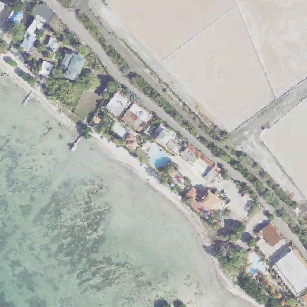
Map of Bahía Salinas Beach
Guide
Good to know
Go for scenic walks and views
The beach offers quiet, peaceful scenery with views toward the sea and nearby lighthouse.
Visit in summer or fall
The salt flats are full during wet seasons, reducing the sulfuric smell that occurs when they dry out in winter.
Litter reported
Visitors mention rubbish on the sand.Mentioned by 2 visitors · 2019–2026
Prepare for rough road conditions
The access road is severely potholed with debris.
Check tide and wind before visiting
Conditions significantly affect the smell at this location, ranging from tolerable to horrible depending on weather and tidal patterns.
Conditions
How it is right now
Air
80°F · clear
Water
85°F · modelled, no buoy nearby
Waves
2.5 ft · 4 s apart
Wind
10 mph from the ESE
Shelter
Cross-shore · wind running along the beach
UV index
8 peak today
| Time | Tide | Height |
|---|---|---|
| 10:17 | Low tide | ↓ |
| 20:11 | High tide | ↑ |
Last updated Sep 7, 9:53 AM.
Practical
Plan your visit
📍 00622, Puerto Rico
🅿 Parking 225 yd from the listing
🌊 The listing sits on the shoreline
Nearby
Other beaches close by
725 yd away
800 yd away
1.0 miles away
1.1 miles away
1.1 miles away
1.4 miles away
Find another
Not the right one?
Find another beach that works for today.
Where are you starting from?
More options
What matters today?
Contribute
Been here recently?
Help other visitors with fresh information about Bahía Salinas Beach. Everything below is optional except the last box.
Questions
Common questions
Where do you park at Bahía Salinas Beach?
The nearest mapped parking area is 225 yd from the listed location. Positions come from OpenStreetMap, not from review text.
How far is the walk to the water at Bahía Salinas Beach?
The listed location sits on the shoreline itself, so there is no walk to speak of once you are out of the car.
Does Bahía Salinas Beach have restrooms?
No restrooms are mapped within 600 m on OpenStreetMap. That means nobody has mapped any, which is not the same as there being none.
Measured from OpenStreetMap, public aerial imagery and live conditions data, and counted from visitor reviews. Every source, in full.
