Right Beaches › Florida › Avalon
Avalon Beach
2.8★ · 46 Google ratings · Avalon, Florida
Map of Avalon Beach
Guide
Good to know
Go for fishing, not swimming
The Archie Glover Boat Ramp at the location's end is suitable for launching boats and fishing.
This is not a traditional beach
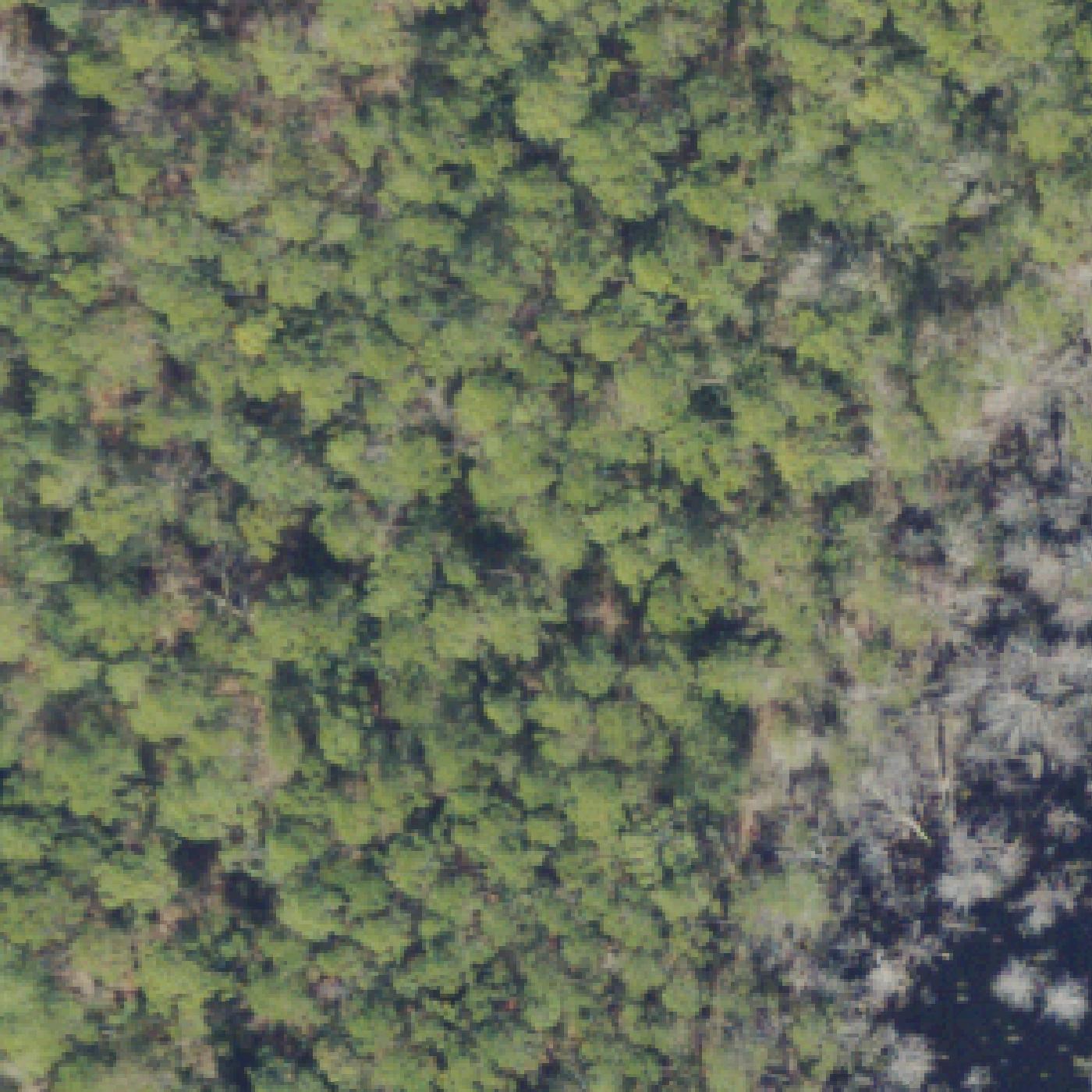
Avalon Beach is primarily a swampy residential area with a boat ramp, not a sandy swimming beach.
Visit nearby alternatives instead
Consider Navarre Beach or Pensacola Beach if you want actual swimming and sand beaches.
Allow extra time to navigate
The location sits at the end of a dirt road through a residential neighborhood, not at a standard.
Conditions
How it is right now
Air
77°F · overcast
Water
87°F
Waves
0.5 ft · 4 s apart
Wind
6 mph from the SSW
UV index
8 peak today
| Time | Tide | Height |
|---|---|---|
| 04:24 | High tide | ↑ |
| 16:51 | Low tide | ↓ |
Last updated Sep 4, 6:37 AM.
Practical
Plan your visit
Nearby
Other beaches close by
13 miles away · shorter walk
14 miles away · shorter walk
15 miles away · shorter walk
15 miles away · shorter walk
15 miles away · shorter walk
16 miles away · shorter walk
Find another
Not the right one?
Find another beach that works for today.
Where are you starting from?
More options
What matters today?
Contribute
Been here recently?
Help other visitors with fresh information about Avalon Beach. Everything below is optional except the last box.
Questions
Common questions
How far is the walk to the water at Avalon Beach?
0.6 miles in a straight line from the listing to the mapped shoreline, about 13 min. Soft sand and dune make the real walk longer than the straight line.
Does Avalon Beach have restrooms?
No restrooms are mapped within 600 m on OpenStreetMap. That means nobody has mapped any, which is not the same as there being none.
Measured from OpenStreetMap, public aerial imagery and live conditions data, and counted from visitor reviews. Every source, in full.
